Elbe River: characteristics, location, map, and all you need to know
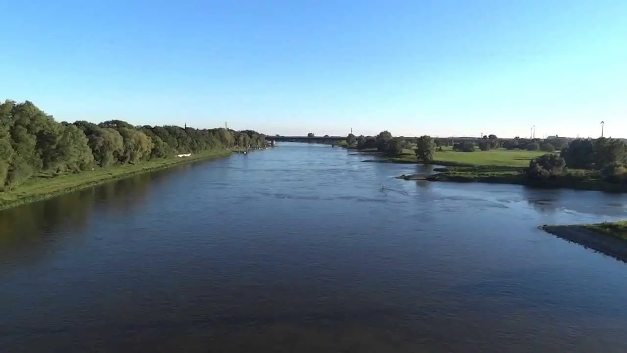
2The Elbe is a river that flows through central Europe. It stretches from the Czech Republic through Germany to the North Sea, generally flowing north-west. It is necessary to know where the river Elbe originates, continued in this article. History of Hamburg The city of Hamburg dates back to the early 9th century. Together with Lübeck, Hamburg …
Leer másElbe River: characteristics, location, map, and all you need to know