
The Meta River is part of the Colombian orinoquia, the main riverbed of the plains, for its importance in the trade between its zones it is the most important of the Colombian eastern plains. Here you will know where it is and the basin of the Meta River. I invite you to know everything about this majestic river.
The Meta River has a length of twelve hundred kilometres and its waters can be navigated from Puerto Lopez along a nine hundred kilometre stretch. The basin of the Meta River is very large in the upper zone, approximately ninety-three thousand eight hundred square kilometres, in the lower zone it is only ninety kilometres.
Location and map of the Meta River
The Meta River is located or is located in Colombia, it originates from the meeting of three Colombian rivers that are the Humea River, the Guayuriba River and the Guatiquía River, all this occurs in the eastern mountain range of the Andes, makes its journey and at the end makes border with Venezuela, (Meta River Venezuela) where it donates its waters to the majestic Orinoco River.
Below is a map of the Meta River showing its source, course, mouth and especially where the Meta River is located.
In its extensive course it receives the waters of several rivers, among which we can mention the Cravo, the Manacacías, the Upía, etc. The Meta River is of great importance to the country because of its length, making it the largest waterway in the region.
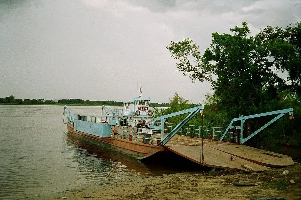
One of the peculiarities of the Meta River is that its waters are not very deep, which means that only shallow-draft barges can navigate it in the summer. From April to December, all types of boats can navigate the river, although due to its shallow depth, which ranges between 1.80 metres, boats should not exceed 1.20 metres in height (see article: Cauca River).
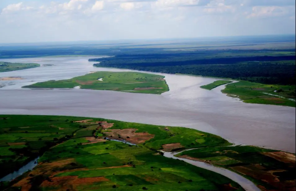
Due to its amplitude, it forms large islands, it tends to overflow easily because its banks are devoid of trees due to excessive deforestation for commercial timber.
The Meta River is ecologically diverse, along its banks we can find tropical rainforest (in its origin), it also has premontane rainforest, tropical dry forest on the border with Venezuela.
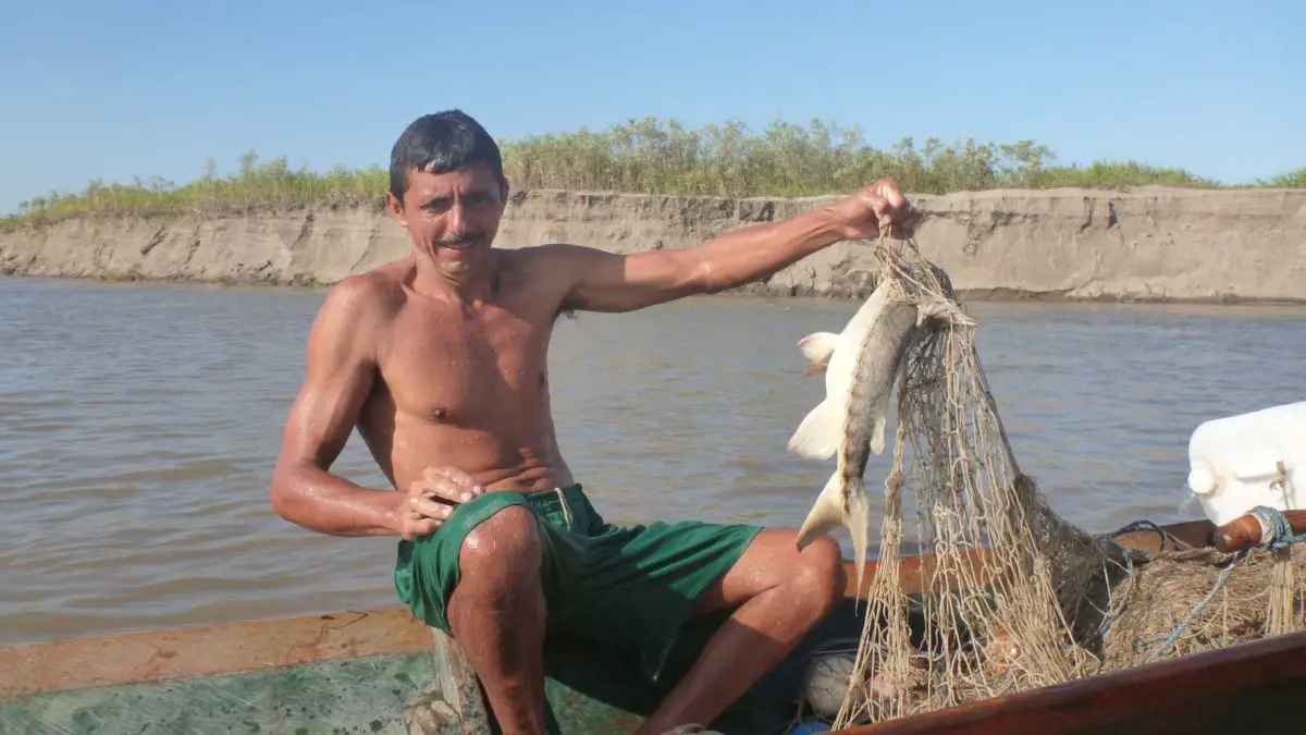
Due to this diversity, the Meta River has a great variety of fauna, where we can find an endless number of aquatic and terrestrial animals.
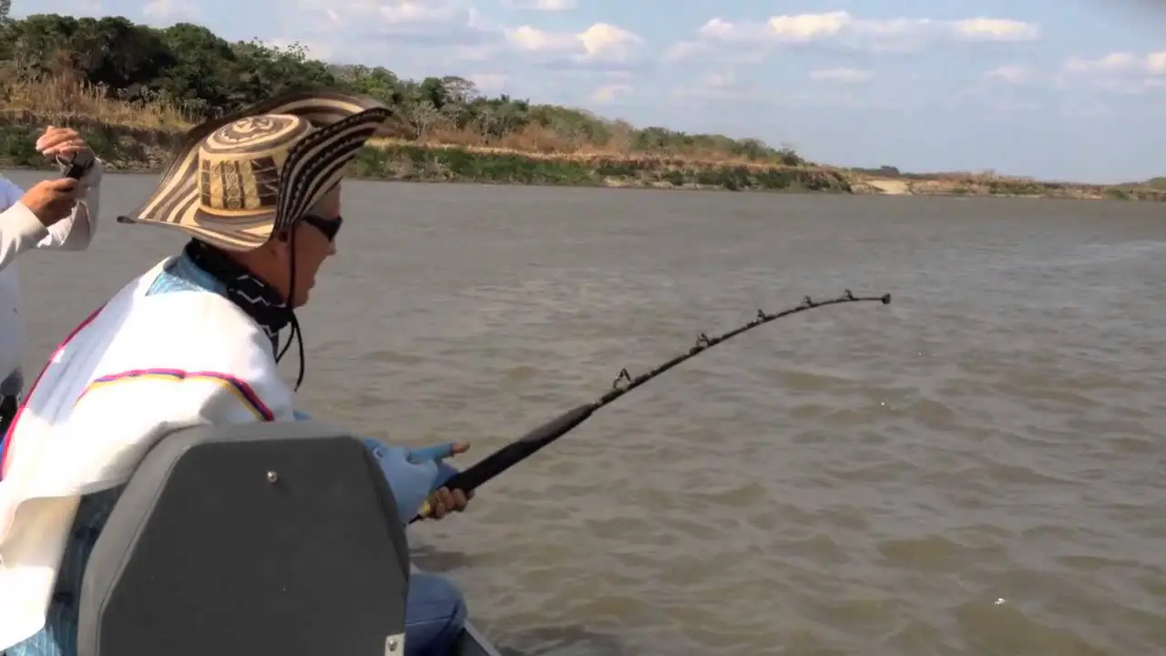
There are more than 1,500 species of fish, including the most important ones:
- El amarillo.
- Bagre.
- Cachama.
- Nicuro.
- Dorado.
- Yamu.
- Sierra.
- Payara.
- Apuy baboso.
- Yaque, etc. (ver articulo:Río Caqueta).
Some of the animals found in the Meta River in Colombia are endangered, including the turtle, the tapir, the pink dolphin or tonina, the cahirre and the armadillo or cachicamo. These animals are protected by the government and anyone caught hunting or fishing them will be severely punished.
Its waters provide a great fishing product that is used for trade. It also has valuable agricultural land for the production of coffee, cocoa and bananas.
The Meta Colombia forms the border between several Colombian departments, including Meta and Casanare, then Casanare and Vichada, and finally Vichada and Arauca. Until it reaches the Venezuelan border (Rio Meta Venezuela) for about two hundred kilometres (see article: Rio Putamayo).
The project consists of forming alliances with the private sector to turn the river into a fluvial highway, and to develop a wide variety of cargo transport, which can be navigated at any time of the year.
According to the entire route and where the Meta River flows into the country, Colombia wants to take advantage of this waterway and its connection with the Orinoco to improve the economy and make the area emerge improving the living conditions of its inhabitants.
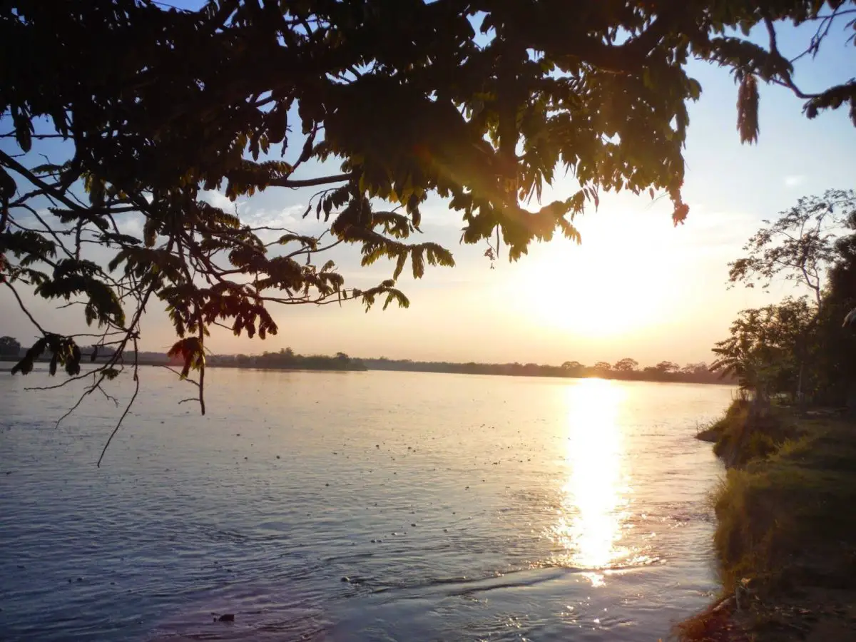
In the following video you will be able to see a brief description of the benefits of the Meta river and you will be able to appreciate its beautiful landscape.
In 2013 due to studies carried out by some environmentalists caused an uproar among the inhabitants of the Meta, as it was believed that the fish were contaminated, because small traces of lead were found in the blood of some catfish that were sampled.
This led to a thorough investigation to determine the characteristics of the river Meta, where it was only a false alarm and that the fish were free of any contaminants, so they could continue with the commercialisation of the same.
In 2016, the government announced a project to build a bridge over the Meta River in the Banqueta sector to connect Cabuyaro and Barranca de Upía by land, in order to improve communication between these communities and ensure trade by land. This project is expected to start in 2018 and the budget has already been submitted and is awaiting approval.
Now that you know the importance of the Meta River and all about its pollution, location, route, etc., we invite you to explore other rivers of our planet included in this blog.