Know through our article the Samala River or Samala River, which is located in Guatemala, and has a wide use in the cities and companies in the area where it is located.
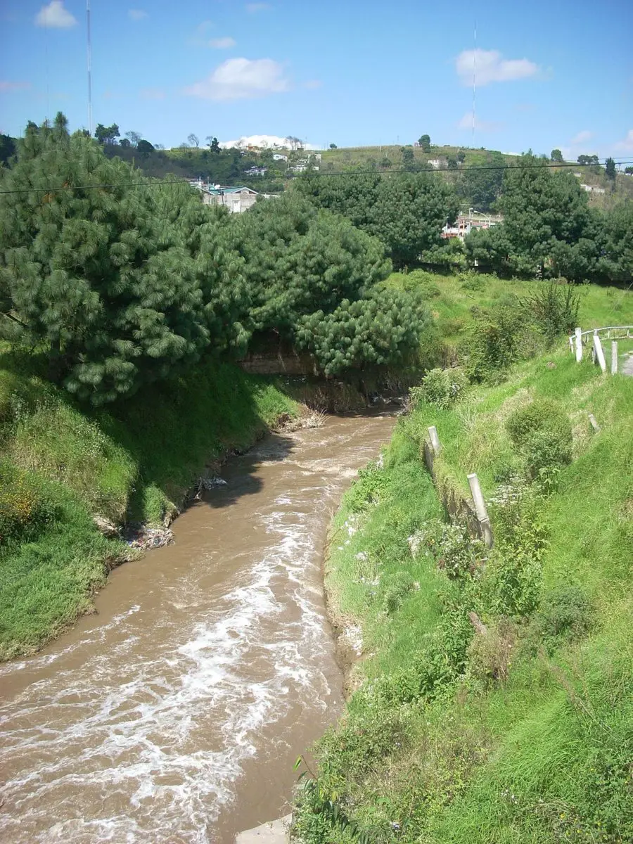
The Samalá River is a river in southwestern Guatemala. It rises in the Sierra Madre, Ecija Valley, in the departments of Quetzaltenango and Totonicapán.
From there it flows down through the towns of San Carlos Sija in the Ecija Valley, Quetzaltenango, San Cristóbal Totonicapán, Quetzaltenango, El Palmar and Zunil, through the coastal plains of Retalhuleu and into the Pacific Ocean, unlike the Candelaria River which flows into Mexico.
The Samala river basin covers an area of 1,510 square kilometres (580 square miles) and has a population of about 400,000 people. The river is about 145 kilometres long.
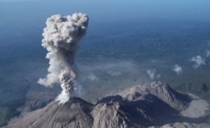
Its proximity to the active Santa Maria and Santiaguito volcano complex, with its recurrent lava flows and lahars, increases the risk of severe flooding, just as the Tunuyan River in Argentina also originates from a dormant volcano.
Watch this video to see what the Samala River looks like in normal conditions:
Characteristics of the Samala River
The Samala River is located in the southwestern part of Guatemala, in the municipalities of Cantel, El Palmar and Ostuncalco. It crosses the department of Quetzaltenango and ends in Totonicapán, just like the Naranjo River, which flows to the south.
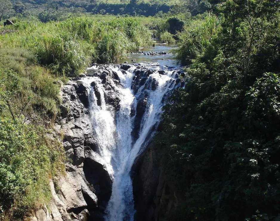
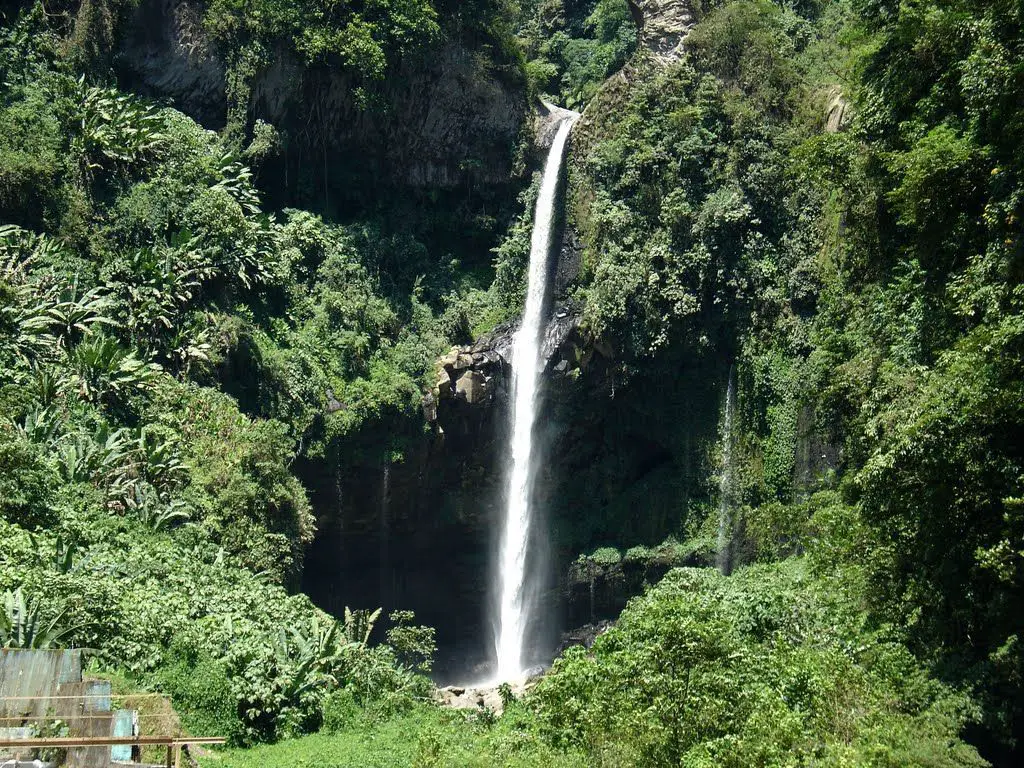
It is one of the tributaries of the Sierra Madre and is a wide river with waterfalls, especially on the coast of Retalhuleu. It flows into the San José River and forms the Caquixa River.
It then flows from west to east, passing through the towns of El Progreso and Nueva Candelaria, and reaches the municipality of San Francisco El Alto, north of the town of Pachaj, where it receives water from the Xolcatá River. It ends its journey in the Pacific Ocean.
Other rivers that flow into it are the Juchanep and the Paqui, known locally as the Pasutulté. In 1962, a decree was issued declaring the Samala River a closed area for twenty-five years, in order to protect the flora and fauna of the area.
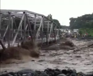
The Samala River is considered a constant threat to the population of Villa de San Sebastian, since its course is widening considerably, causing the flooding of cultivated areas in all the nearby villages, such as Samalá, Paoj, Ixpatz, San Sebastian, among others.
We leave you with this video so that you can see the enormous floods of this river:
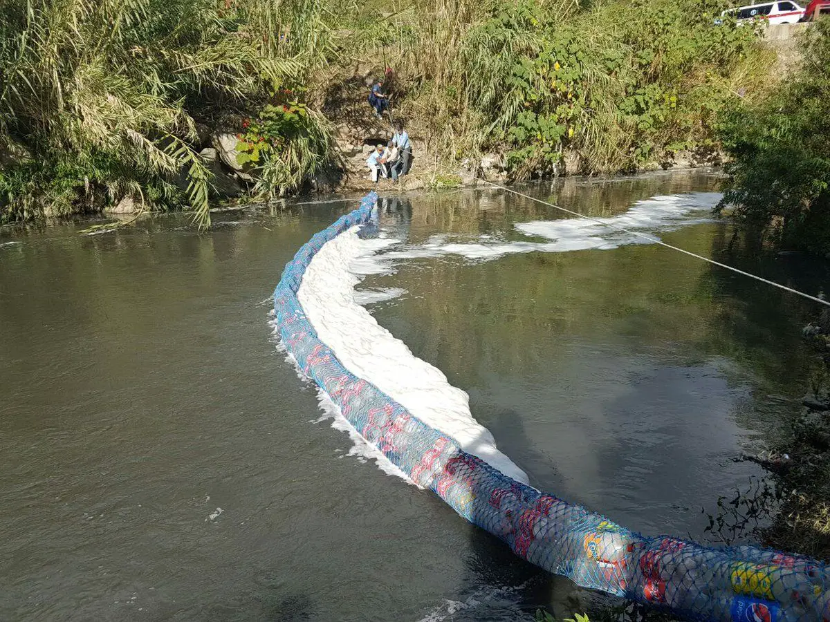
Pollution of the Samala River
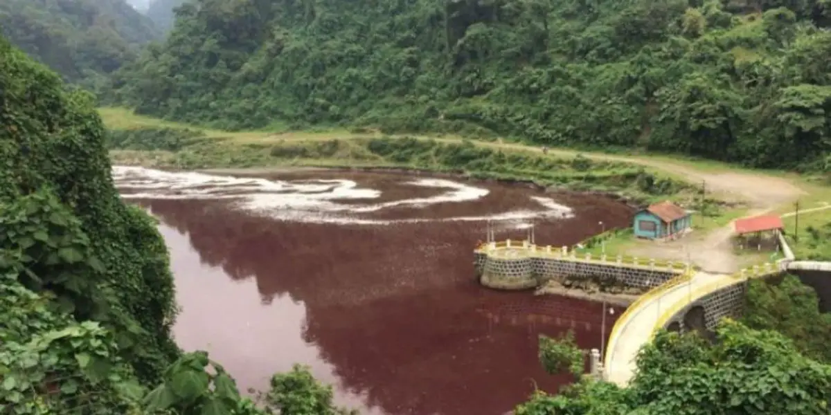
The Samala River in Quetzaltenango, Guatemala, has turned blood red. The Ministry of Environment and Natural Resources is investigating. An unknown black substance dumped into the river may be the cause. The substance is located near a power plant on the Samala River.
The National Institute of Electricity says the pollution is not related to the electricity generated by the Santa Maria hydroelectric plant, which has been operating there since 1927. The fish in the river are still dying.
Around 400,000 people live along the Samala River. The same is true of the Jachal River, which also has a hydroelectric plant, the Santa Maria Hydroelectric Plant, a reservoir that regulates water with a capacity of 38 GWH and was inaugurated in 1927.
This hydroelectric plant is located in the municipality of Zunil, department of Quetzaltenango, and was inaugurated in 1927. It is considered a daily regulation plant, with a reservoir of 215,500 m³ as useful volume.
The water is conveyed to the machine room by means of a 0.614 km pressure pipe. The machine room has three (3) generating units with different installed capacities; the first unit No. 1 generates a power of 2.48 MW, units No. 2 and 3 generate 2.2 MW each.
The waterfall of this hydroelectric plant is 101 m, with a turbine flow of 2.35 m³/sec for units 1 and 2 and 2.42 m³/sec for unit 3. This puts it on a par with the Los Esclavos hydroelectric plant.
The Samala River is used by a wheat mill located in El Nuevo Valle de Ecija San Carlos Sija, Totonicapán and San Cristóbal Totonicapán.
Watch this video to find out how the Samala River has turned red and is causing concern for all Guatemalans:

