
The Potomac River, located in the east central United States, ranks 21st in the United States in terms of river water and fourth in the region in terms of drained area.
Location of the Potomac River
With a length of about 665 km, the Potomac River drains a watershed of 38,000 km2, with a population of more than 5 million and a rainfall of about 8 m3 per person per year.
This important river is part of the Atlantic coast of the USA, forming part of the border between Maryland and Washington D.C. on one side, and West Virginia and Virginia on the other. Depending on where it flows, its mighty waters belong to Maryland, Columbia and Virginia (see also Snake River).
It has an average flow of 315 cubic metres per second and rises in West Virginia, 957 metres above sea level, and flows into the Chesapeake Bay at the end of its course.
The Potomac is formed from the same north and south branches, both in north-eastern West Virginia, which join at Green Spring, Hampshire. The northern source is on the border of Grant, Tucker and Preston at Fairfax Stone, and the southern source is near Hightown, Highland.
Features of the Potomac River
The Potomac River forms a natural boundary between West Virginia and Maryland, and also separates Virginia from Maryland and Columbia.
Its main tributaries are the Shenandoah River and the Monocacy River, and as it passes through Washington, D.C., its flow increases and widens until it reaches the mouth of the Chesapeake Bay (see also Columbia River).
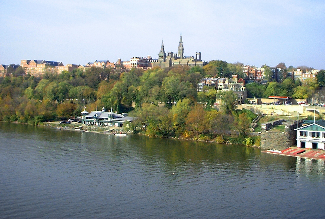
The Potomac is navigable, and large ships can navigate its waters as far as the Washington metropolitan area.
Potomac River Fun Facts
In September 1997, the then President of the United States, Bill Clinton, named the Potomac as one of the fourteen rivers that form part of the nation’s heritage waterways.
Several historic and tourist sites are located along its course, including Mount Vernon, the former home of George Washington, and Anacostia, a historic site in southeastern Washington.
The entire length of the Potomac River can be considered a rich source of history over the years, so much so that it is often referred to as the “Nation’s River”. The entire capital of the United States lies within its watershed and George Washington himself, the first President of the USA, was born and raised on its banks (see Seine).
In the capital, the Potomac River’s East Park and West Park, with their extensive open spaces, offer excellent opportunities for recreation and leisure, while sharing a bit of American history.

The cherry blossom trees are an iconic landmark that grace the entire shoreline, where visitors can picnic, walk, fish or simply take in the majesty around them.
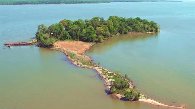
West Potomac Park features Constitution Gardens and other historical icons such as Vietnam, Lincoln, Korea, World War II, Jefferson and memorials, as well as a beautiful island that is home to a variety of ducks and other birds.
East Park, meanwhile, has picnic areas, golf courses, tennis courts, a swimming pool, and walking and biking trails. Across the Potomac River is Arlington National Cemetery.
In recent years, the Potomac Conservancy has been active, with volunteers from the region and around the world joining together in campaigns to care for the Potomac River.

In existence since the 19th century, Harpers Ferry Bridge has been a silent witness to great events. Built across the Potomac in Maryland and designed by Bollman, its construction was repeatedly delayed by military action during the American Civil War (see Guayas River).
Once completed, it was of enormous benefit to the region. According to the National Park Service, the bridge was destroyed and rebuilt nine times, four times during the war and five times during floods.
The original bridge was replaced by two similar structures with separate uses for trains and cars.