
Learn about the Dvina River, also known as the Northern Dvina, in beautiful and extravagant Russia.
The Dvina River is a river in northern Russia, flowing through Vologda and Arkhangelsk oblasts into the Dvina Bay of the White Sea.
Together with the Pechora River to the east, it drains most of northwestern Russia to the Arctic Ocean.
The main northern tributaries of the Dvina are the Vychegda (right), the Vaga (left) and the Pinega (right).
The place name Dvina does not come from a Uralic language, but its origin is not clear. It may be an Indo-European word meaning river or stream. In the Komi language, the river is called Výnva, from vyn “power” and va “water, river”, hence “mighty river”.
Watch this video to see the Dvina River in Russia:
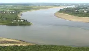
Geography and map of the Dvina River
The length of the Dvina River, also known as the Dvina, is 744 kilometres (462 miles). Together with its main tributary, the Sukhona, it is 1,302 kilometres (809 miles) long, almost as long as the Rhine in central and western Europe.
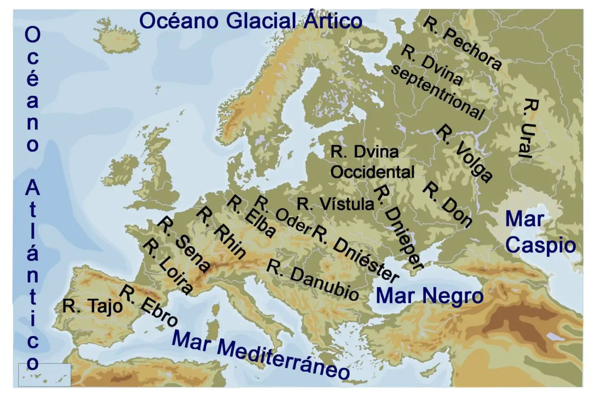
Its catchment area is 357,052 square kilometres (137,859 square miles), roughly the size of the western state of Montana in the United States.
The Northern Dvina Basin includes most of the Arkhangelsk and Vologda Oblasts, as well as areas in the western part of the Komi Republic and the northern part of the Kirov Oblast, and smaller areas in the northern part of the Yaroslavl and Kostroma Oblasts.
The cities of Arkhangelsk and Vologda are located in the Northern Dvina Basin, as are many smaller towns, many of which are historically significant, such as Veliky Ustyug, Totma, Solvychegodsk and Kholmogory.
The Northern Dvina Basin is roughly T-shaped. The 558 km (347 mi) long Sukhona River flows eastward and joins the 1,130 km (700 mi) long Vychegda River basin, which flows westward. The combined river flows northwest into the White Sea, which it joins near the city of Archangelsk.
Looking more closely, the Sukhona flows east and joins the north-flowing Yug River at Veliky Ustyug. The combined river, now called the Dvina, flows north for about 60 km and joins the Vychegda, which flows west at Kotlas and then turns northwest to flow into the White Sea.
The Sukhona-Vychegda was an important east-west transport route, while the Northern Dvina-Yug was a north-south route.
The upper part of the Sukhona is now connected by the Northern Dvina Canal to the Baltic Volga waterway, which links St Petersburg to Moscow.
The Northern Dvina turns northwest and receives several smaller rivers, such as the Uftyuga and the Nizhnyaya Toyma, both from the northeast. Near the urban settlement of Bereznik, the Vaga River flows in from the south.
The M8 motorway, which runs from Moscow to Arkhangelsk via Vologda, also enters the region at this point.
The Yomtsa or the River
Yemtsa joins from the south-east, with the P1 road (from Kargopol) running parallel. The Pinega River, once an important waterway, joins from the east.
Near the mouth of the Pinega, the river splits into several channels, including the ancient Kholmogory Selo, 75 kilometres southeast of Arkhangelsk.
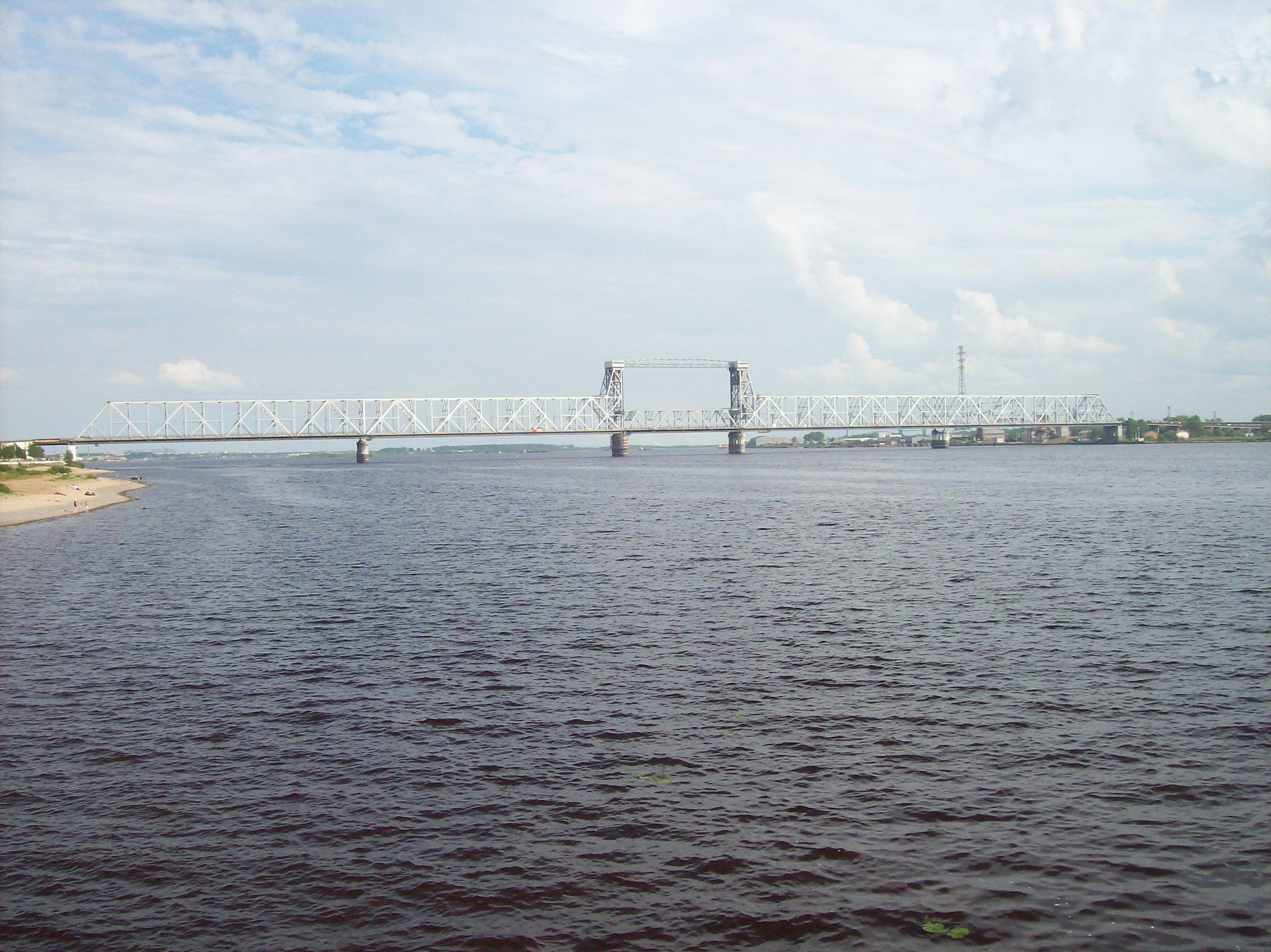
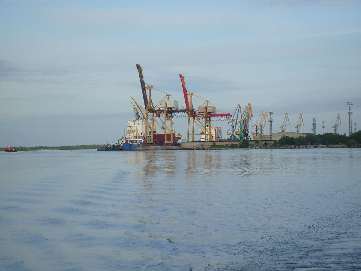
The branches rejoin and pass the modern logging town of Novodvinsk. Downstream from Novodvinsk begins the 900 square kilometre (350 square mile) delta. At the head of the delta is the large port of Arkhangelsk.
It has gradually replaced Kholmogory as the region’s main city. On the south-western side of the delta is the naval base of Severodvinsk, the second largest city in the region. The delta ends at the Dvina Bay on the White Sea. The end of the Dvina River is the Arctic Ocean, as is the Obi River.
See another part of the Dvina River in this video:
Navigation and Channels
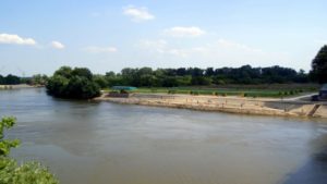
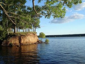
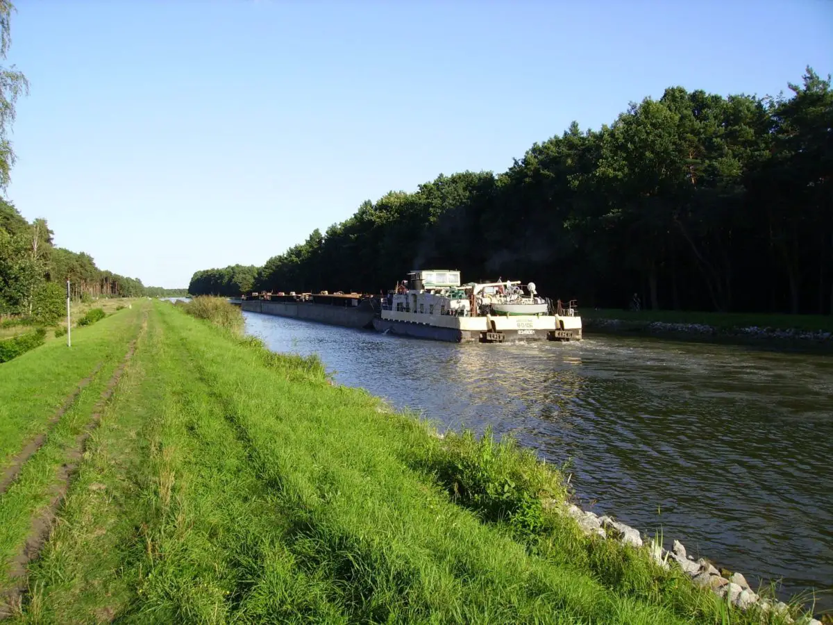
 In summer, the river is navigable along its entire length and is widely used for rafting. It is connected to the Volga waterway by the Dvina Canal.
In the 19th century, a short-lived North Ekaterininsky Canal, now abandoned, also connected the northern Dvina basin with the Kama basin.
In 1926-28 a canal was built linking the Pinega, one of the main tributaries of the Northern Dvina, with the Kuloy, but this is now rather neglected. Another fairly navigable river in Russia is the Lena.
History of the Dvina
The area was originally settled by the Finno-Ugric peoples and then colonised by the Republic of Novgorod. The only exception was Veliky Ustyug, which belonged to the Vladimir-Suzdal Principality. The rest of the northern Dvina basin was controlled by Novgorod.
 From the 14th century, Kholmogory was the main trading port on the Northern Dvina, but lost this distinction to Arkhangelsk in the 17th century.
Until the 1700s, Arkhangelsk was the main trading port for Russian and Western European sea trade, and the Northern Dvina was the main trade route between central Russia and Arkhangelsk.
Peter the Great drastically changed the situation by founding St Petersburg in 1703, opening the way for Baltic trade and building the road between St Petersburg and Arkhangelsk via Kargopol.
The river quickly lost its role as the main trade route, a process accelerated by the construction of the Vologda-Arkhangelsk railway between 1894 and 1897. The Dvina was the scene of several battles during the Russian Civil War.
If you want to see what the Dvina looks like in autumn, we recommend you watch this video: