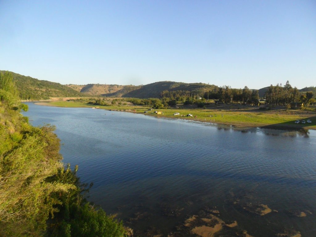
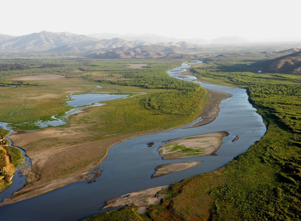
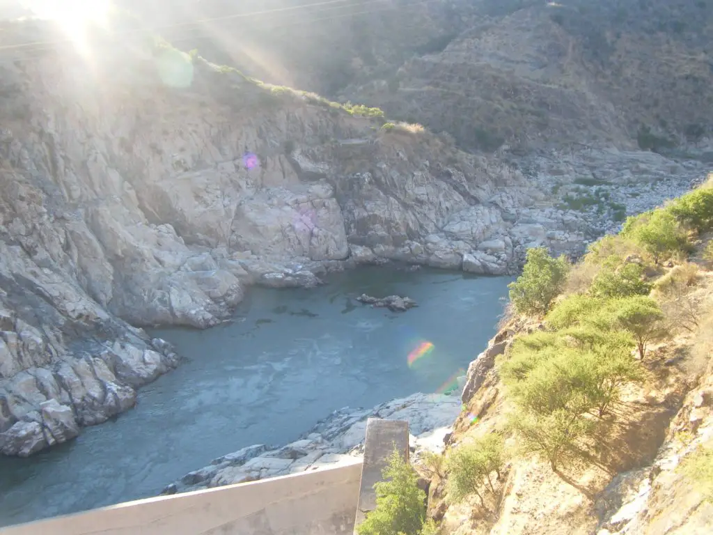
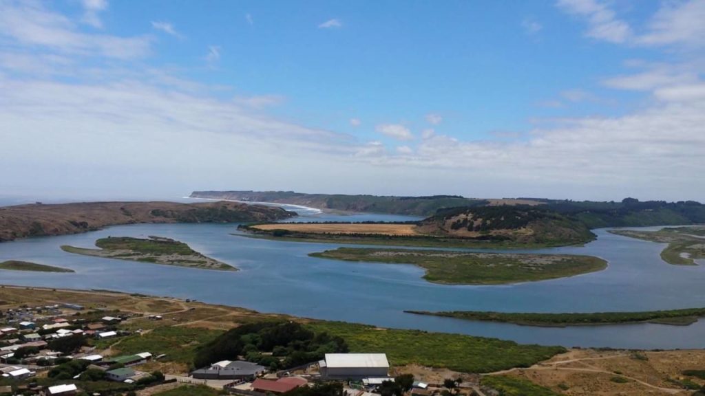
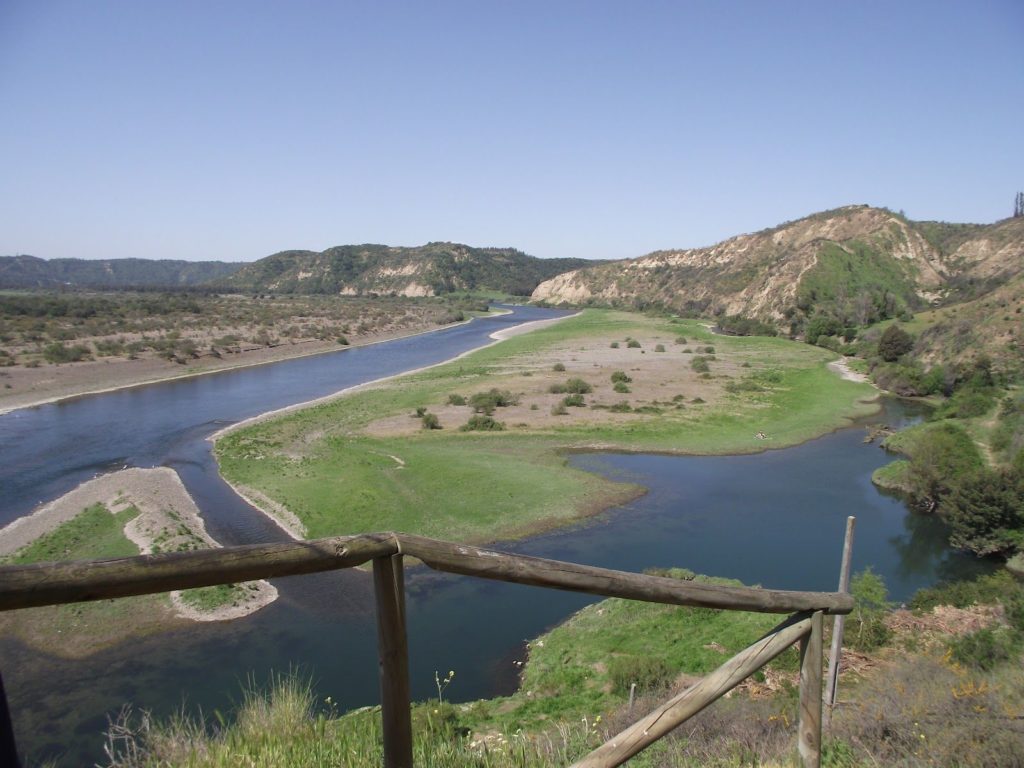
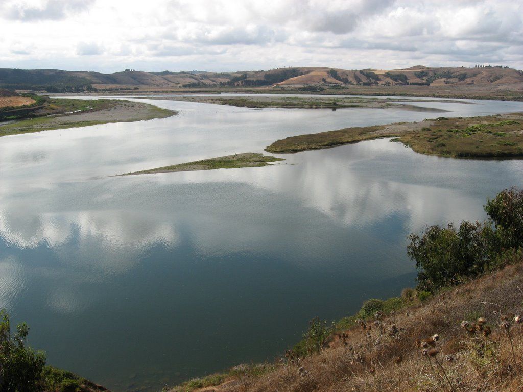
The Rapel River is a river in Chile, located in the O’Higgins region. It begins at the confluence of the Cachapoal and Tinguiririca rivers in the area known as La Junta. Today this area is impounded by the Rapel Dam, creating the Rapel Lake.
Indice De Contenido
Rapel River Basin
The Limarí River Basin, a semi-arid region in central Chile, lies between 30º 15′ and 31º 30′ S latitude and 70º 15′ and 71º 45′ W longitude, covering an area of 11,696 km². The basin is located between the valleys of the Elqui Basin in the north and the Choapa Basin in the south and extends from the Andes at > 5500 masl in the east to the Pacific coast in the west.
The geology of the Limarí basin is made up of a variety of rock formations from the Palaeozoic to the Quaternary. The mountain range consists of the volcanic series of the Doña Ana Formation (Upper Oligocene-Lower Miocene).
Unlike other parts of the Andes, there is no Quaternary volcanism in the Coquimbo region. However, in tectonic terms, two main phases are identified as Jurassic, the Lower Cretaceous (Mariana extensional type) and the Upper Cretaceous (Andean compressional type).
The region also hosts one of the world’s largest deposits of precious metals, leading to extensive mining. The coastal area is mainly composed of Mesozoic alkalic-calcareous intermediate rocks alternating with andesitic volcanic rocks. Quaternary alluvial sediments are concentrated in the riverbeds in the lower part of the basins.
Climate of the river Rapel
The average annual rainfall has a strong geographical modulation, varying between approximately 43 and 270 mm per year from the coastal zone to the Andes, with an average of only 125.7 mm.
The seasonal rainfall cycle is very pronounced, with almost 85% of the annual rainfall falling between May and June (see article: Los Esclavos River).
Prolonged dry periods are a common feature, and dry periods without precipitation can last from one to several years (Favi. This inter-annual rainfall variability is linked to the El Niño Southern Oscillation (ENSO).
Rainfall anomalies are often positive during El Niño events and below normal during La Niña conditions. This often causes a natural shortage of water availability, leading to meteorological droughts (see article: Huasco River).
Temperature is also highly seasonal. Minimum temperatures occur in June-August, coinciding with peak precipitation and therefore snowfall above 1000m.
The central climate station in Ovalle recorded an average annual temperature of 16.6°C between 1965 and 2009, with a minimum of 9.4°C and a maximum of 23.8°C. In addition, there is a strong spatial variation in temperature depending on altitude and southern gradient (see article: San Pedro River).
Hydrology of the River Rapel
During the passage of cold fronts, the 0°C isotherm is typically found at about 2,500 m above sea level, which allows snow to accumulate in the upper half of the basins during winter.
Therefore, the upper catchments are often dominated by snow and, due to the time lag between snow accumulation and melting, maximum river discharge is reached in the last month of spring and summer.
At lower altitudes, in wet years, a two-peak hydrograph is observed, where the first peak is a response to liquid precipitation, while the second peak in spring is related to snow or glacier melt.
The Rapel River drains the drier north-eastern part of the basin and fills the Recoleta reservoir, which has a capacity of 100 million m³. The Rio Grande has a much larger drainage area of 544 km² due to contributions from the south of the Rapel (see article: Rio Mendoza).
Projects on the Rapel River
The plan aims to identify approaches and needs to build a well-planned and sustainable river potential in the Rapel River basin. An essential part of the project is a participatory process aimed at understanding the needs and challenges of local water users and stakeholders.
The project is funded by the Competitive Innovation Fund of the Regional Government of O’Higgins and its Regional Council, included in the Regional Innovation Strategy and implemented by CSIRO Chile and supported by the General Water Authority.
The Rapel Basin Integrated Management Plan project consists of two phases. Stage 1 is currently underway and will last 18 months (March 2016 – August 2017). Stage 2 has not yet been defined.

