
The River Guadalete is an important natural watercourse in the south of Spain, forming part of the Atlantic slope of the Autonomous Community of Andalusia. Discover the history of this river, its tributaries, its source and the 2015-2021 Hydrological Plan through all the information contained in this article.
The source of the Guadalete
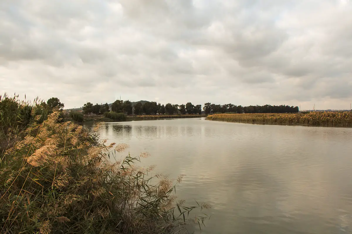
This is a river that rises in the north of the Sierra de Grazalema Natural Park, at an altitude of 1,020 metres, and flows a total of 165 kilometres to reach Puerto de Santa María, where it also drains a catchment area of 3,677 km2.
It is interesting to note, however, that unlike many other rivers, the Guadalete has no specific point of origin.
On the other hand, due to the changes brought about by the emergence of new ecosystems as a result of human intervention, the Puerto de Santa María has lost the importance it had in ancient times in terms of its commercial role, which has led it to become a tourist attraction rather than an economic asset for the country.
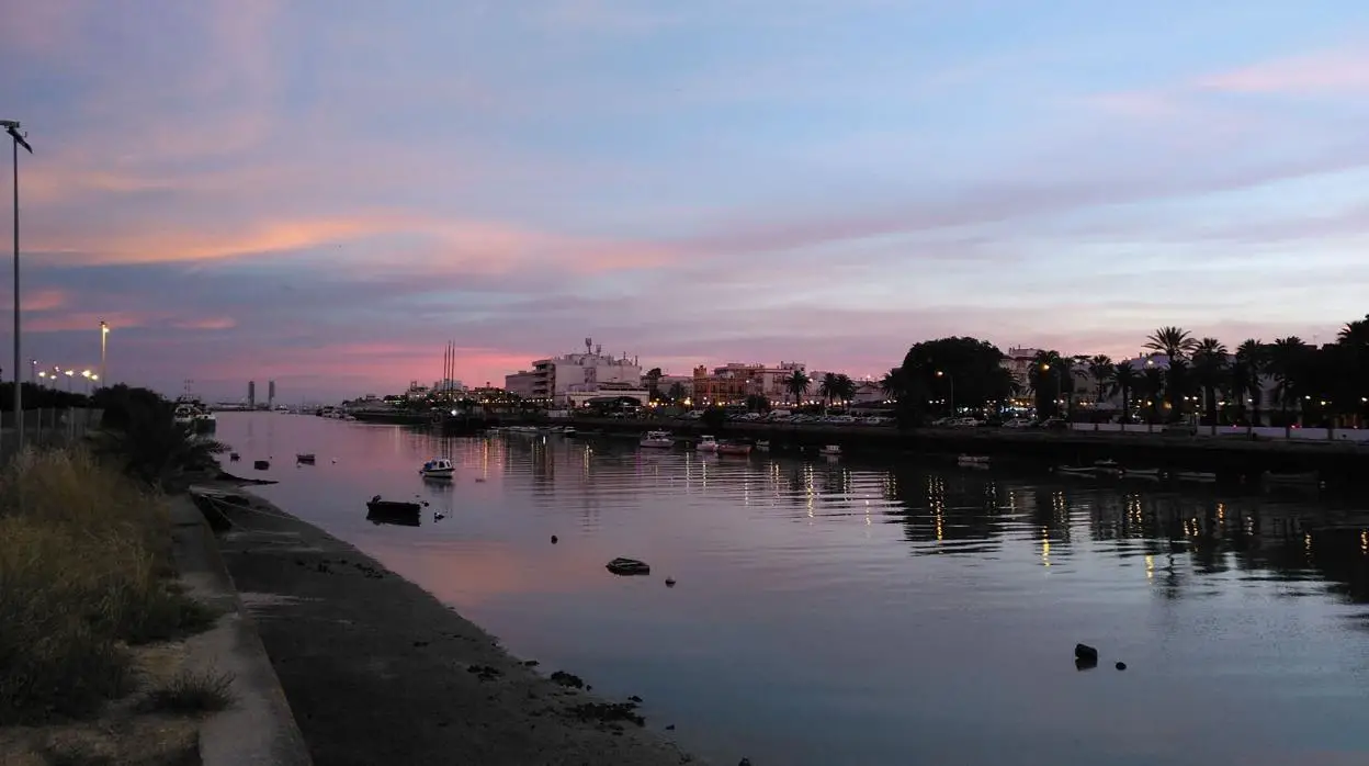
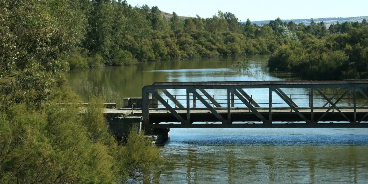
Today, the Guadalete is used by people for leisure and as part of the urban landscape, having lost its productive potential, which for some years was the economic livelihood of many families in the region.
We know that this situation has been experienced by many other rivers in Spain, but it would be important to recover it. In the 18th century, this river, which is now used for recreational purposes, was for a long time part of the Spanish metropolitan area and served as a communication channel between the centre and Jerez, the typical port of the time, and Cádiz, where the Guadalete estuary was located.
As a result, the course of this river was fundamental to the development of the city, and with this article we wish to raise awareness of this important river, which should not be forgotten.
Tributaries of this river
The Guadalete River has two tributaries, the Majaceite and the Guadalporcún. The following information is available for these two rivers:
Majaceite River
Also known as the Guadalcacín, this river flows into the Guadalete and belongs to the region of Andalusia in Spain. It has an approximate length of 50 kilometres.
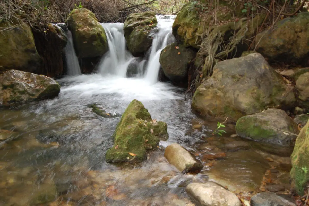
It is a river that flows through the Sierra de Grazalema Nature Reserve, which is why it is part of this Nature Reserve. It also has a reservoir, the largest in the province of Cadiz, and its fauna includes a large number of trout.
River Guadalporcún
This is the other tributary of the River Guadalete, which has its source in Alcalá del Valle, in the Spanish region of Andalusia. It is 43 kilometres long and rises to an altitude of 420 metres, while its mouth on the River Guadalete is around 180 metres.
Flora and fauna of the river Guadalete
The River Guadalete, thanks to its riverbed, has a series of plant formations with hydrophilic forests, which are considered typical elements of the Mediterranean and Euro-Siberian regions. This is evidenced by the presence of species such as: the white poplar, Salix Atrocinera, represented by ash or willow trees, gallery forests, scrubland, hemicryptophyte and geophyte grasslands.
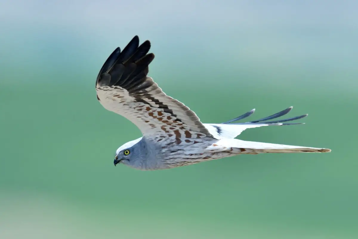
On the other hand, its fauna is full of specimens such as the black kite, Montagu’s harrier, booted eagle, owl, tawny owl, short-toed eagle, eels or fry of the eel fish, globotruncana, zebra mussel and some other fish species.
The history
The Guadalete River has a series of historical references that show that its basin was inhabited in ancient times, as evidenced by the archaeological finds registered in Palmar del Conde, as well as the presence of large mammals such as wild boar and tapir, which were hunted by its inhabitants.
Another antecedent is that this river was used intensively in Roman times, with the presence of a hydraulic structure and a mill with unique characteristics in Spain.
It is a river that at some point in history was known as Guadaletho, from the Arabic word guada, which means living water or watercourse, and later became known as the Guadalete.
Battle of the Guadalete
The Battle of Guadalete is a historical event that is known and identified with this name because it took place near this river.
The antecedents of this event are described in the Arabic chronicles that have survived, which refer to events that took place in the 10th and 11th centuries, in this case in the Iberian Peninsula, around the year 711, and constitute a historical precedent in Spanish life.
The events that took place at that time involved the Gothic King Rodrigo in a battle against the Umayyad Caliphate, an Arab army of a caliph from the East. As a result, the king was defeated and lost his life at that very moment.
This was an event that marked the history of Spain, as it put an end to the Visigothic state, which was a government with East Germanic influences.
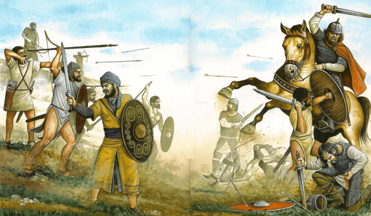
All this was documented by the historian and politician Sánchez Albornos, who reconstructed the facts from Christian records and Arabic chronicles of the time.
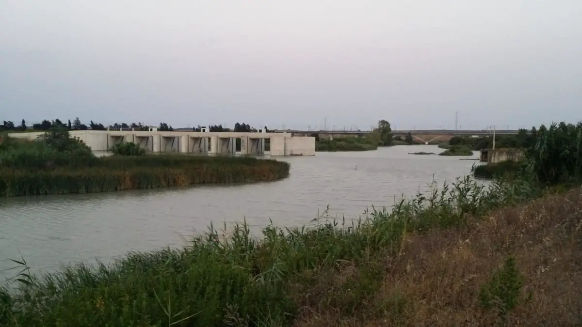
Reservoirs and floods
The river Guadalete has a series of reservoirs, which can be described as follows
- Arcos reservoir, located hydrographically in Guadalete and Barbate, with a total capacity of 14 hm³, a current volume of 1000 hm³ and no energy capacity.
- Bornos reservoir, also located in Guadalete and Barbate, with a capacity of 200 hm³, a volume of 51 hm³, an available energy of 5 Gwh and an energy capacity of 18 Gwh.
- Zahara reservoir, hydrographically located in Guadalete and Barbate, with a total capacity of 223 Nm3, a volume of 137 Nm3 and no energy capacity.
The presence of floods
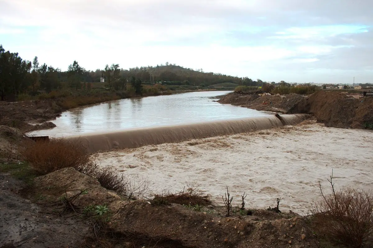
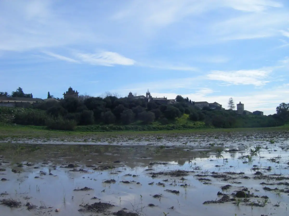
Over the years, the Guadalete has suffered from constant flooding, even destroying bridges that allowed people to cross the river, as was the case in Arcos de la Frontera.
Over the years, however, the proliferation of human settlements, livestock and other activities has left the river with very little open space, which means that when the rains come, the river increases its flow and tries to regain the land it has lost.
When heavy rains fall in the Sierra de Grazalema, the Guadalete grows and flows too fast, leaving some urban areas unable to contain the water. This causes serious damage to buildings and people affected by the flooding of the Guadalete.
Measurements have shown that the basin of this river has the highest rainfall records in the whole of Spain. Flooding has been a problem for years, as there are records from newspapers published at the time that report major flooding of the Guadalete as far back as 1881.
It is an event that has recurred over the years, as was the case in 1996, 2009 or 2010, which were covered by all the media in this Spanish country. It continues to be news, especially in the area of the Arcos and Bornos reservoirs.
The authorities of the Jerez Mayor’s Office are taking measures, but it seems that they are not enough to contain the Guadalete River when it decides to take over new areas to widen its course.
Guadalete River Hydrological Plan
A hydrological plan has been drawn up for the Guadalete-Barbate River, with the aim of preventing the recurrent flooding caused by this river, which has been in force since 2015 and is expected to last until 2021.
This plan is made up of a series of regulations issued by the Regional Ministry of the Environment and Territorial Planning, with the aim of controlling the hydrographic demarcation of the Guadalete River and preventing it from flooding.
This will be possible thanks to the proper establishment of urban structures, water use and the implementation of cleanliness standards in areas close to this river. Considering that changes in the morphology of the river must be avoided and its course must never be obstructed, in order to avoid undesirable consequences when the level of the river rises as a result of heavy rainfall.
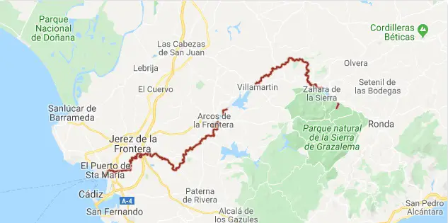
The map
This map of the Guadalete River shows how it crosses Andalusia and flows into the Atlantic Ocean. You can also see the Guadalete basin in the province of Cádiz; as mentioned above, it flows into El Puerto de Santa María, into the bay known as Cádiz and into part of the territory of Seville.
If you liked the information in this article, you may be interested in learning more about other rivers in Spain, below:
- River Duratón
- River San Pedro
- River Piedra