
The White Sea, known in Russian as Génoe Móре or Béloye More, is a large gulf in the Barents Sea, part of the Arctic Ocean. It is located on the northwest coast of Russia. Find out all about this great sea: history, characteristics, climate, bays and much more about this frozen body of water.
Novgorod History
One of Russia’s historic cities is known as Veliky Novgorod and serves as the administrative centre of the Novgorod region. Its people have long exploited the sea, which is rich in fur-bearing animals such as seals.
One of the first trading settlements was established on the coast at Kholmogory, near the North Dvina River, where in 1492 merchant fleets arrived laden with grain and representatives of Ivan III of Russia, who established an international seaport here.
History records that the first foreign ship to arrive in Kholmogory was the Edward Bonaventure, of English origin, under the command of Richard Chancellor, as well as two other ships under the command of Hugh Willoughby, which were searching for the route to the Indies from the north.
These were expeditions sponsored by King Edward VI, ruler of England and Ireland, and a group of around 240 English merchants who wanted to establish trade routes.
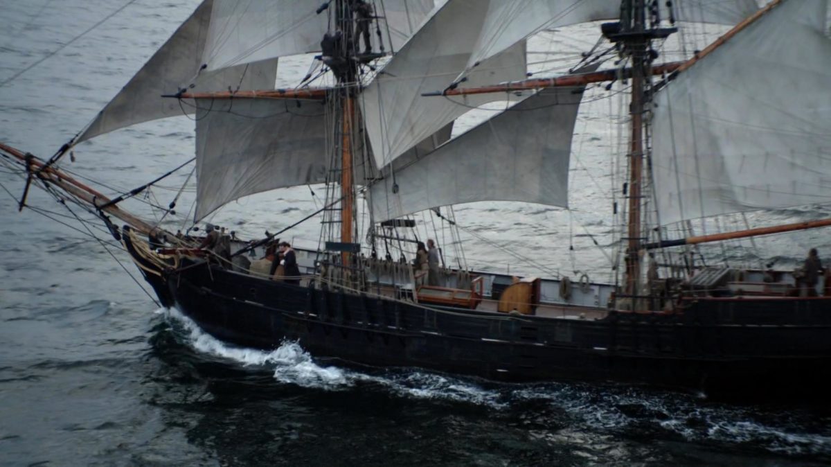
It is said that Willoughby’s ships were separated, while the other two were lost at sea, but Edward Bonaventure managed to reach the White Sea, where he joined Kholmogory, and then they set sail for Moscow with the intention of making a complete description of the whole area.
In 1554 Chancellor returned to England aboard his ship Kholmogory with a complete description of the entire Russian north, which was then unknown to most Europeans. He also brought with him a letter from the Russian Tsar, Ivan the Terrible, expressing his desire to establish trade relations with England by sailing the White Sea.
As the years went by, the English ships were quickly followed by the Dutch, and the port of Kholmogory became important for the shipment of furs and fish. Later, in 1584, the city of Arkhangelsk was founded on its shores.
Thus the White Sea remained a vital trade route for Russia for centuries to come, although its importance later declined with the founding of St Petersburg, Russia’s second largest city.
This provided a more convenient connection to the Baltic Sea route, so that from 1920 most shipments were made through the new port, which became known as Murmansk because its waters did not freeze in winter.
Location
This interesting sea was called “Gandvik” by the ancient Vikings, which means “Bay of Snakes”. And it was used by one of their explorers, known as Halogaland, to reach the north, reaching places no Norse had ever reached until the year 890, a time when most of this sea was frozen, hence the name White Sea.
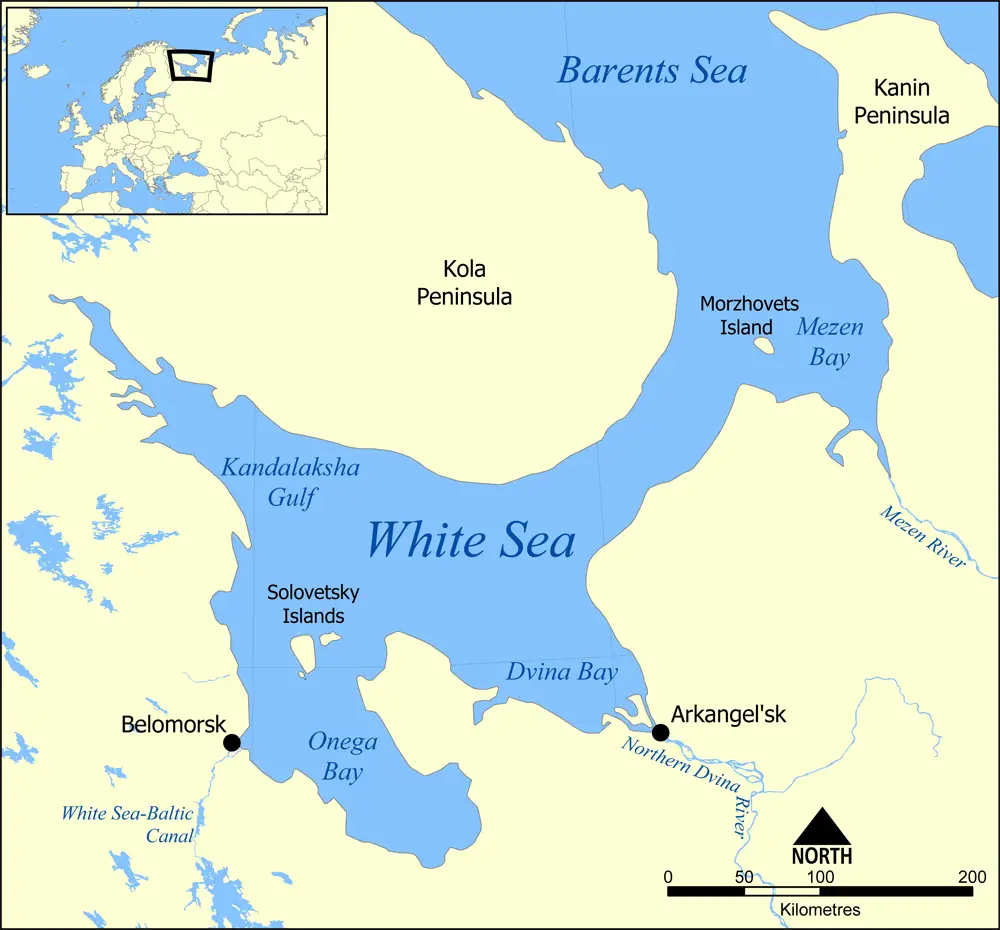
The White Sea lies off the northwest coast of Russia, where it is part of the Barents Sea, within the Arctic Ocean. It is a large gulf bounded on the northeast by the Kanin Peninsula, which is part of the Nenets region of Russia; on the west by Karelia, a region shared by Finland and Russia; and on the north by the Kola Peninsula, which is part of the Murmansk region, an entity of the Republic of Russia.
Characteristics of the White Sea
This sea is identified within the Russian territory with the name of Génoe Mópe and has a number of important characteristics that allow us to know specific aspects of this great frozen lake, which serve to identify and distinguish it within the world, which are mentioned below:
- It is a sea located in the Gulf of the Barents Sea, part of the Arctic Ocean, between the Kanin Peninsula, Karelia and the Kola Peninsula; it belongs to the territory of Russia.
- It has a surface area of 95,000 square kilometres, with an average depth of between 50 and 200 metres, but the deepest point is 340 metres.
- Its waters are reached by the mouths of rivers known as Dvina, Mezenov, Ponoyu, Onega and Kem.
- It also has four large gulfs, which are also considered as bays in its inner part and are known as follows Menzen Bay in the east, Dvina Bay in the southeast, Onega Bay in the south and Kandalaksha Bay in the northwest.
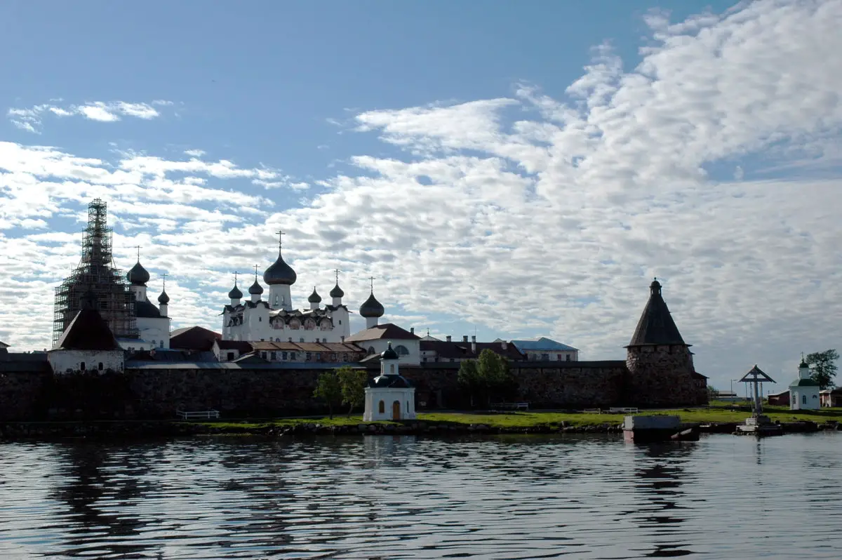
- The White Sea also has several islands, the largest of which are the Morzhóvets and Solovetsky Islands, which have been declared UNESCO World Heritage Sites.
- Arkhangelsk and Belomorsk are among the sea’s major coastal cities. But its waters also bathe the Republic of Karelia, the Archangel Oblast and the Murmansk Oblast. For reference, the term oblast refers to an entity or region below the national level, similar to a province.
- Its main port is called Archangel and is located at the bottom of the Dvina Bay, which was the main centre of international maritime trade in the history of Russia. It is currently used as a naval base, with a number of submarines based there.
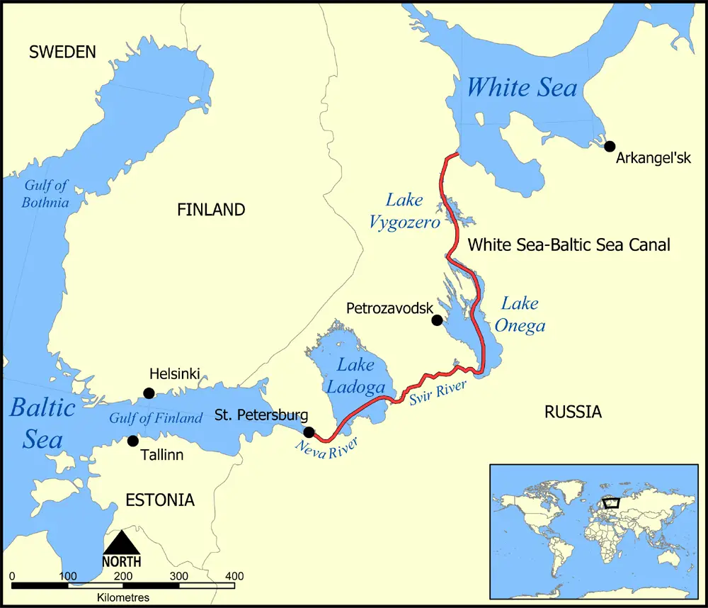
- This sea is connected to the Baltic Sea in Northern Europe by a canal in St Petersburg.
https://www.youtube.com/watch?v=ChHDJtwVJLU
Salinity
The salinity index of the White Sea is related to its hydrological regime, as it receives water from several rivers and even some underground streams, while the exchange with the waters of the Barents Sea is less.
The salinity of the water has been measured at 26 ppm, and increases with depth, reaching 31 ppm at 100 metres. Some authors believe that this is due to the fact that it has an annular basin.
On the other hand, it should be noted that from a geological point of view, this sea has other materials on its seabed, such as sand, gravel, pebbles and shells, and some of the latest research has also reported the presence of ferromanganese.
The Climate
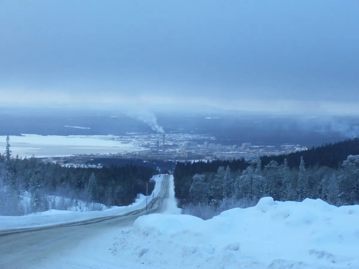
The climate of the White Sea varies between polar and temperate continental, with frequent fog and clouds; the prevailing winds in winter are from the south-west, with speeds between 4 and 8 metres per second.
These winds bring cold air from the south, causing changes in its temperature, resulting in the month of February can reach -15 °C, in most of its waters.
In this sense, the White Sea is one of the coldest in the world, with temperatures ranging from 0°C to -15°C in winter and from 12°C to 15°C in summer. Summer practically lasts from the beginning of June to the end of August, but if you travel further north, the season lasts only a month and a half.
The northern part of the country is warmer due to warm air masses from the Atlantic, but summers can still be cold, cloudy and somewhat humid, with frequent rainfall. Annual rainfall ranges from 282 mm to 529 mm.
https://www.youtube.com/watch?v=T9kew4qb5lM
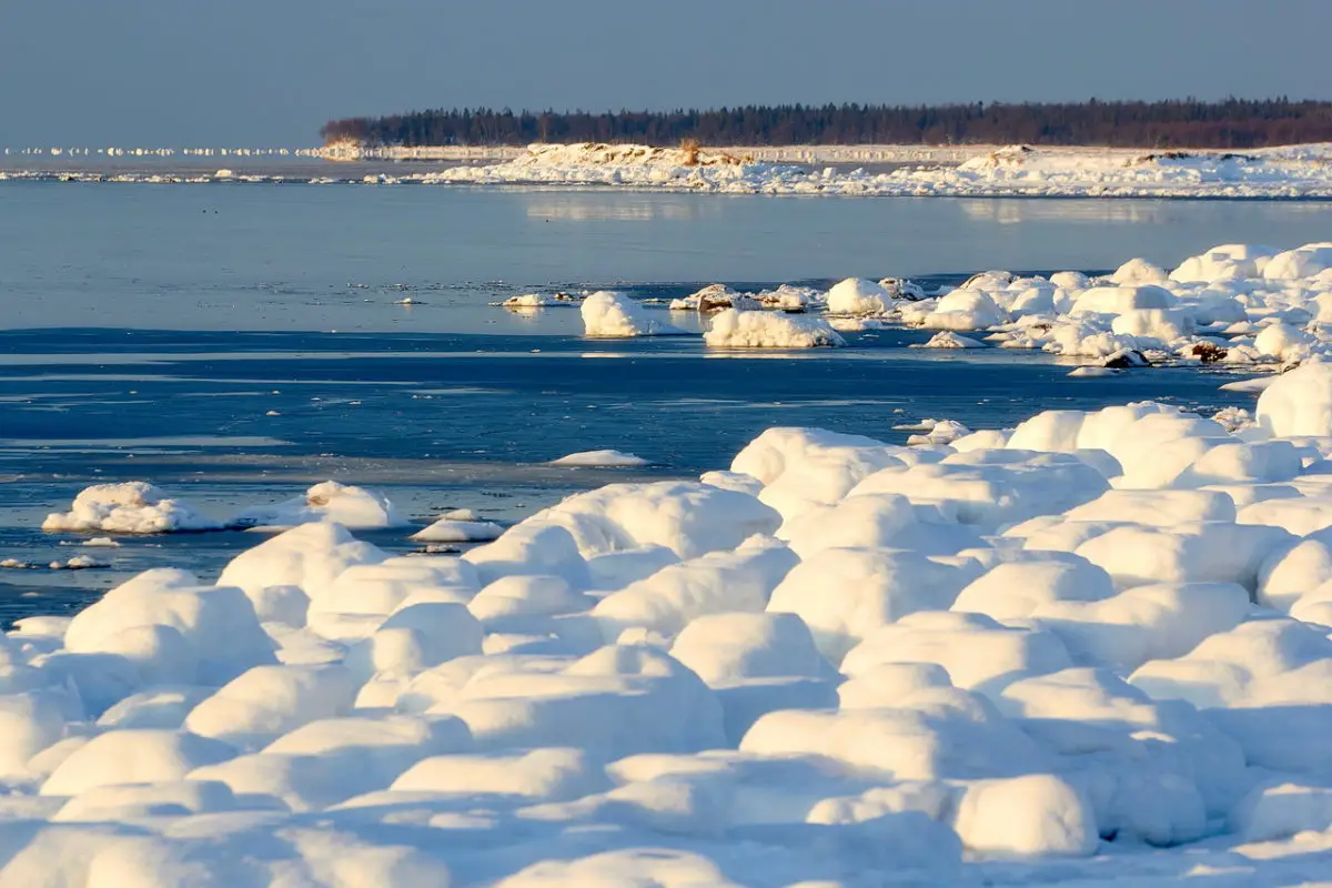
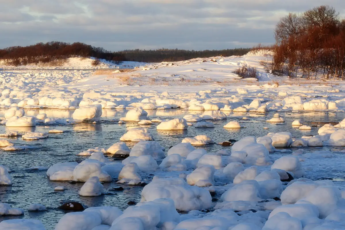
On the other hand, in winter there is the presence of ice, which appears in October and forms icebergs from November onwards. This element is used as a refuge by many species of animals that are representative of its fauna.
The ice that forms forms large plates, or icebergs, which begin to float under the influence of the wind and remain there until the month of June. In addition, the water temperature of the White Sea increases by several degrees from May to August, reaching around 16°C. However, in the 50 metre deep areas it remains at 0°C.
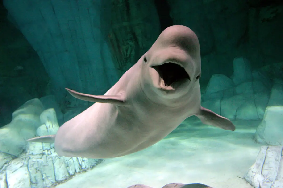
As a curious note, we tell you that this sea was the scene of the swimmer Natalia Avseenko, who performed an act that earned her the title of Princess of the Belugas, as she swam naked among belugas, a marine species of cetaceans, family of whales that inhabit the Arctic region.
This brave woman said that she had practised yoga and meditation before diving into the cold waters of the White Sea, which allowed her to stay in the water longer, swim with these wonderful creatures and take stunning photographs of the encounter.
Flora and fauna
This is a sea that, despite its very low temperatures, is home to a great biodiversity, where there is also a Russian biological station in its surroundings.
In this sense, the White Sea has a rich and varied representation of flora and fauna, with dozens of species that can be observed on each dive. However, many representatives of its fauna change frequently from one place to another, especially in the deep waters, where its fauna is concentrated in a layer of water where the temperature drops rapidly at greater depths.
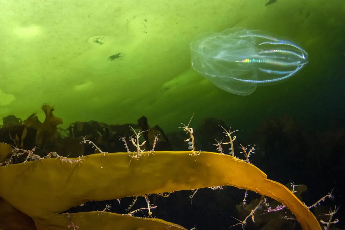
In the deepest zone, the ctenophores, a phylum of diblastic animals that make up the majority of the plankton biome, live in virtual darkness.
Other inhabitants of these icy waters include jellyfish, caprella or skeleton shrimp, carnivorous starfish and beluga whales, and many of the animals that make up its fauna come to its waters in search of refuge, such as Greenland seals, spotted seals or sea dogs.
These waters contain phytoplankton, which feeds zooplankton, which in turn feed fish such as cod and mammals such as whales. Birds, such as the common murre, can also be seen feeding on fish swimming near the surface.
The concentration of chlorophyll present in the plankton blooms in the waters of this sea is impressive, allowing the existence of many species typical of this marine biome.
On the other hand, these are microorganisms that are sensitive to environmental changes, so studying them can help predict many of the climatic changes that will occur in the future, as part of the understanding of global warming and the existence of some natural ecological processes.
The bays that make up the White Sea
The White Sea’s morphology is characterised by the presence of four large gulfs or bays that make up its coastline.
These gulfs are connected to the waters of the Barents Sea by a chimney-shaped opening through a 90-kilometre-long strait or canyon that separates the Kola Peninsula from the Mezen coast.
Beneath the waters of these gulfs, which make up Russia’s White Sea, lies a marine world that is diverse, vast and very cold. In general, it can be said that it is a vast gulf of the Barents Sea, which is formed or divided into four other important gulfs, which we will get to know through the following points.
https://www.youtube.com/watch?v=u8sjJ5IeyzM
Gulf of Kandalaksha
This is a gulf in the western part of the White Sea, which is the deepest part of this sea, where it can reach 340 metres.
It borders the southern tip of the Kola Peninsula and has the town of Kandalaksha at its northern end, as well as the oil port of Vitino, which has been opened to foreign trade in recent years.
The shores of the Gulf of Kandalaksha are administered by the Murmansk region and also form part of the northern part of the republic known as Karelia.
The Gulf of Onega
The Gulf of Onega is located in the southern part of the White Sea, where it also receives the waters of the Onega, Kem and Vyg rivers; it is 185 kilometres long and about 100 kilometres wide, with depths ranging from 16 to 36 metres.
The bay also has several islands, including Solovetsky, which is administered by Arkhangelsk Oblast as part of the Solovetsky District and has an airport. The island covers an area of 347 square kilometres and has been declared a UNESCO World Heritage Site.
The gulf also includes the White Sea-Baltic Sea Canal, which allows ships to travel between the two seas and is located near St Petersburg. It is jointly administered, with the eastern part belonging to Arkhangelsk Oblast and the western part to the Republic of Karelia.
Dvina Bay
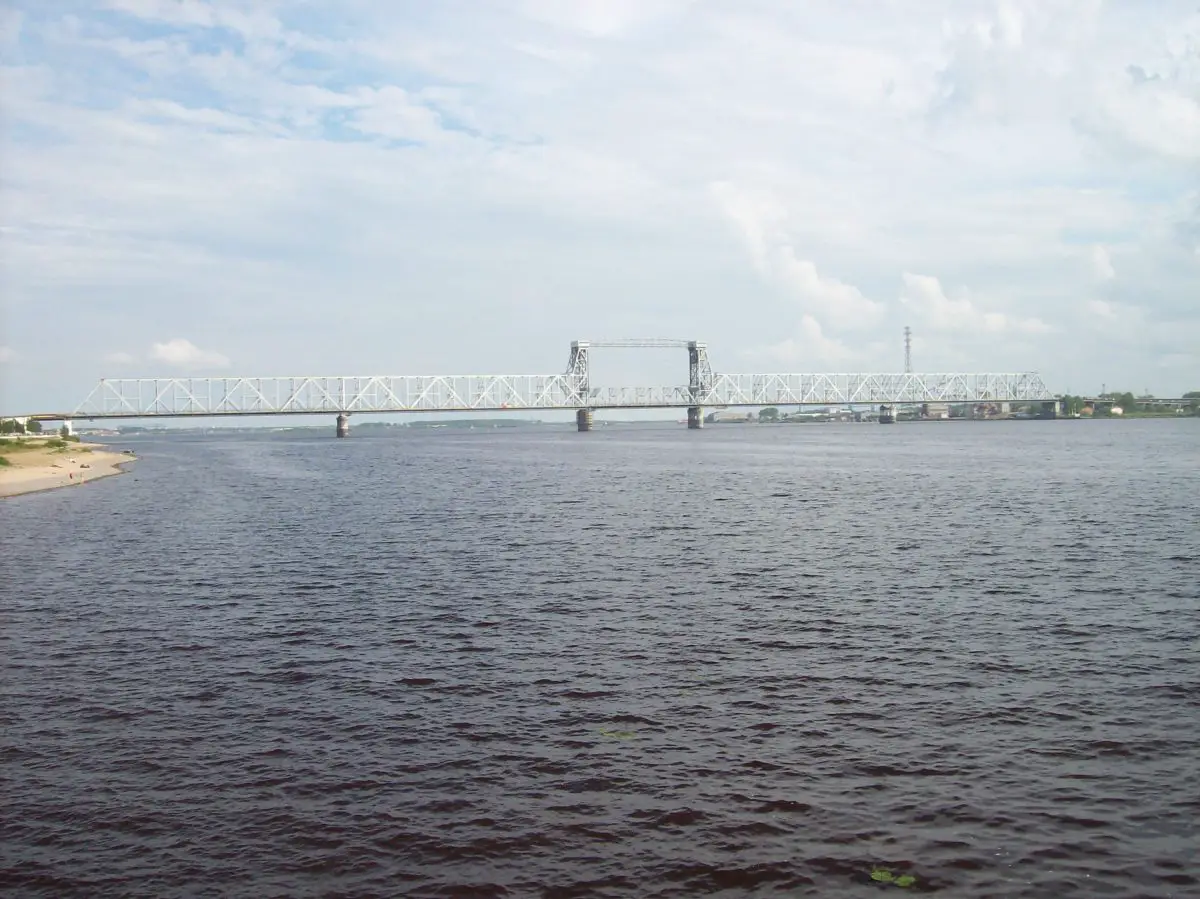
The Dvina Gulf lies to the south-east and receives the waters of the North Dvina River, which is 748 kilometres long and has a catchment area of 357,000 square kilometres.
This bay contains the important port of Arkhangelsk, which covers an area of 294.42 square kilometres, stretches along the banks of the aforementioned river and also has a delta consisting of several islands, and served as the main port of medieval and modern Russia at least until 1703.
The city of Severodvinsk, with an area of 119,349 square kilometres, is located in the northern Dvina delta, only 35 kilometres west of the city of Arkhangelsk, or Archangel, as it is also known. The Gulf is administratively under the jurisdiction of the Arkhangelsk Oblast.
Gulf of Mezen
The Gulf of Mezen is another of the four large bays that form part of the White Sea coastline, but is located on the outer part of the White Sea. It is most prominent at its eastern end, where it is bordered by the Kanin Peninsula.
The bay has an area of 6,630 square kilometres and an opening or mouth to the island of Morzhovets, which has an area of about 110 square kilometres.
The bay is also administered by the Archangel region and is characterised by the waters of the 966-kilometre-long Mezen and Kuloy rivers.
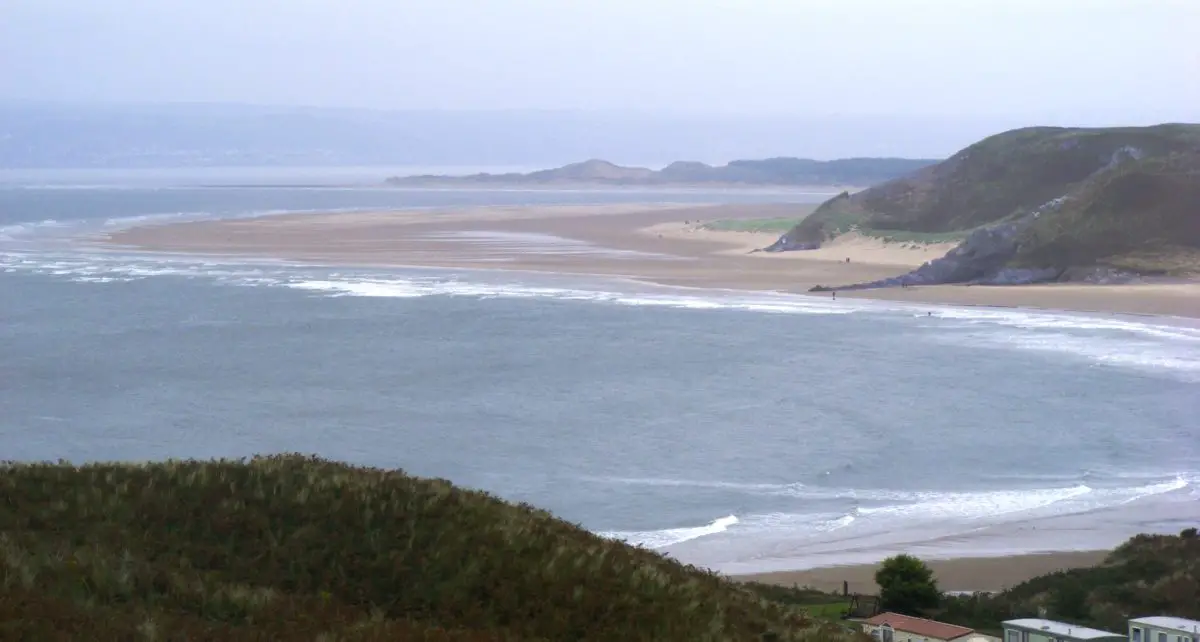
Tourism in the White Sea
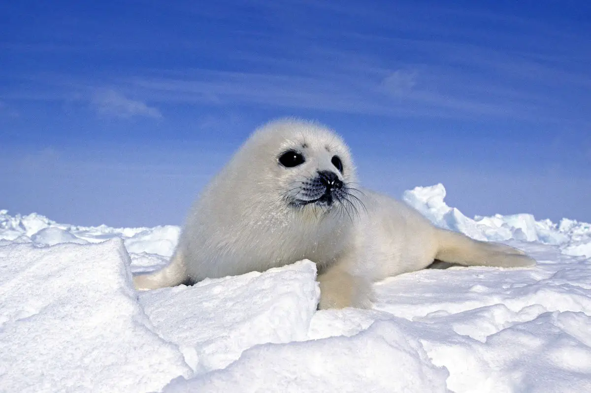
The White Sea offers many opportunities for ecotourism, including encounters with seals in their natural habitat, where at least four species can be seen, such as the bearded seal, characterised by its thick whiskers protruding from its snout.
There is also the grey or brown-skinned ringed seal with its ring-like spots, the Greenland seal, which visits the area during its pupping season, and the grey seal, which is usually found near the Kola Peninsula.
Another attraction of this interesting and beautiful Russian sea is the possibility of diving with safe and high quality equipment specially designed for the icy waters. It is a beautiful underwater world that can be discovered by many lovers of exploration and practice of this sporting activity.
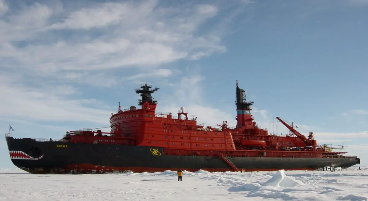
Other tourist attractions include a visit to the Murmansk region, where nuclear icebreaker trips to the North Pole and many other cruises are offered.
It is said that the best time of year to travel to the White Sea is in July, August and September, when there are many excellent hotels and resorts offering a variety of amenities for all visitors.
One of the most attractive cities is Arkhangelsk, which has been linked to the sea for more than 1,000 years, and where each of its inhabitants has maintained an indissoluble link with this impressive body of water, sometimes admired as blue, but at other times obviously white.
We would like to end our tour of the White Sea by inviting you to visit it, so that you have the opportunity to get to know it personally; it is a cold sea, but it hides an immense beauty, endowed by nature, which deserves to be admired and appreciated throughout the world.
It should be added that the inhabitants of the surrounding areas call themselves “Pomorie”, a term that, according to scientists, can be interpreted as “near a salt lake”, which is also the name of a vast territory located in northern European Russia and encompassing the southern shore of the White Sea from Onega to Kemi.
But more than that, the term Pomorie refers to the entire coastline and surrounding area of this body of salt water, i.e. the entire northern region of Russia, stretching from the Urals to Karelia.
If you have found the information in this article useful, we invite you to discover more rivers and lakes by clicking on the links below:
- River Magdalena
- Sella River
- Lake Baikal
- Lake Sanabria