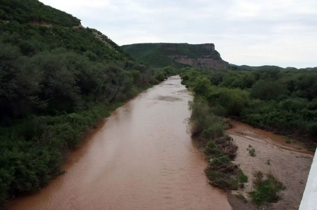
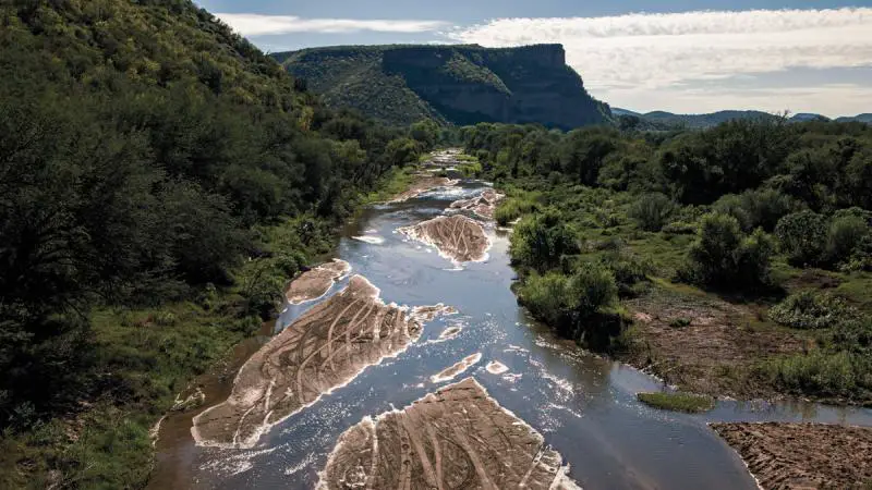
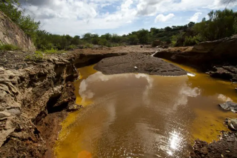
The Sonoran River Basin covers 10,040 square miles (26,000 km2) of public land. Slopes range from steep orientations in the upper watershed to more gradual topographies in the valleys.
The Sonora River basin is divided into six smaller basins.
Indice De Contenido
Location and map of the Sonora River
The Sonora River is located in the state of Sonora in northwestern Mexico. It rises south of Cananea, near the US border, and flows south and then southwest through the western flanks of the Sierra Madre Occidental.
Below Hermosillo, the state capital, the river crosses the coastal lowlands, but irrigation canals and dams prevent it from reaching the Gulf (see article: Pechora River).
Its total length is about 250 miles (400 km). Many settlements, including Arizpe, Bacoachi, Huépac and Ures, lie along the river.
Below is a map of the Sonora River, showing its source, course and mouth, as well as the route of the Sonora River.
su_box title=”Map and location of the Sonora River” radius=”6″]
[/su_box][/su_box][/su_box
Ecology of the Sonora River
The biotic communities found in the watershed, in order of importance by area covered, are Sinaloan hawthorn, Sonoran subdivision plains, semi-desert grasslands, Madrean evergreen forest and the central gulf coast subdivision.
The average annual rainfall is 375 millimetres (14.8 inches), which falls in two seasons, late summer, early autumn and winter, early spring.
Sonora River pollution
A judge in the Mexican state of Sonora has ruled that lakes near the Sonora River may still be contaminated.
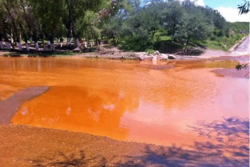
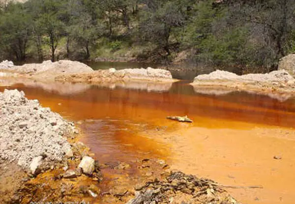
This comes almost three years after a spill of acid copper sulphate from Buenavista del Cobre, a copper mine owned by Grupo Mexico (see story: Río Puelo).
The ruling comes in response to an appeal filed by representatives of parties in Mexico’s Sonora River Basin (CCRS) and other residents of the area affected by the spill, local newspaper Milenio reported.
The ruling recognises that the levels of arsenic and manganese in the Sinoquipe and La Labor wells are higher than those recommended by the World Health Organisation’s guidelines for drinking water quality.
CCRS representatives said the decision contradicts claims by the mining company and authorities that the current levels of contamination in the Sonora River no longer pose a threat to public health.
The 40,000 m3 of acid copper sulphate from the mine also affected the nearby Bacanuchi River in what was considered the largest environmental contamination in the history of the Mexican mining sector (see article: Río Palena).
Soon after, the mining company proposed a trust fund of 2,000 million pesos ($107 million) to compensate for the damage caused by the dumping.
As part of an agreement with local authorities and residents, the company agreed to use some of the funds to build 27 water treatment plants and a specialist clinic for those affected.
Also that month, Grupo Mexico announced that it would build only nine water treatment plants instead of the 27 it had originally promised, because the level of contamination in the river had decreased.
In response, state authorities announced that monitoring carried out by the Conagua water authority and the CFPRS, Cofepris, indicated that the situation had stabilised.
Residents near the mine complained that, following the rulings by the two federal agencies, the state government installed water fountains in schools across the state that were supplied with untreated water from the Sonora River.
The Sonora River mistake
[On the morning of 6 August 2014, a bull collapsed and died while drinking water from the Bacanuchi River. Soon after, a local resident told journalist David Bacon, even Gila monsters and coyotes fled as far as they could.The mistake, as it turned out, was to dump a large amount of copper sulphate into the Tinajas River, which along with the Bacanuchi forms part of the watershed of the mighty Sonora River.
In particular, GM failed to recognise that the mistake had been made by undertrained and overworked contractors, who launched a long and bitter strike.
The very safety regulations that allowed the spill to happen. Perhaps GM didn’t need to admit this: anyone familiar with the history of the region already knew.
Below is a video of the exploration of the Sonora River route.

