
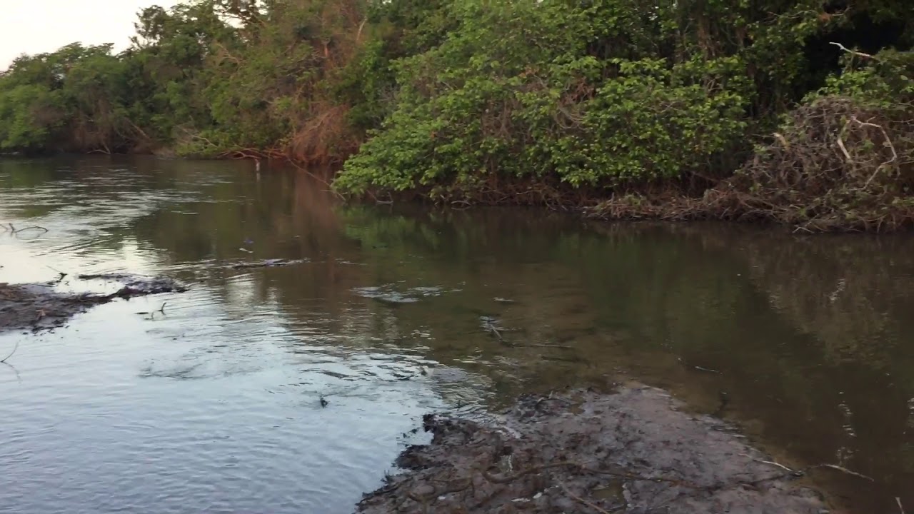
In the north-central Andes of Peru, a small stream called the Santa River flows into the Pacific Ocean.
The course of the Santa River
This short but mighty river has its source in the Conococha Lagoon, in the northwest of the country, in the Peruvian Andes (see Pastaza River), at about 4,050 metres above sea level and at the coordinates 9º56’40″S77º11’44″W.
From there it flows south-north through the Callejón de Huaylas and the entire region of Ancash, later passing through the narrow and beautiful Cañón del Pato (Duck Canyon).
The magnificent Santa River forms the natural border between the departments of Ancash and Libertad, then changes course and approaches the port and city of Chimbote, before emptying into the vast Pacific Ocean after a total length of 347 kilometres.

As it flows through the Callejón de Huaylas, the Santa River meets the splendid conformation of the Cordillera Blanca (so called because it is always covered in snow and glaciers), which runs along the Peruvian jungle, and the Cordillera Negra, which is at the level of the Pacific Ocean and close to the snow-capped Huascarán, at the foot of which lies the beautiful Llanganuco Lagoon.
Among the most important towns through which the Santa River flows are Conococha at 4,050 metres, Recuay at 3,422 metres, Huaraz at 3,090 metres, Carhuaz at 2,650 metres, Yungay at 2,500 metres, Caraz at 2,290 metres, Huallanca at 1,820 metres, Yuramarca at 1,420 metres and Santa at 20 metres.
The basin of the river Santa
The Santa River has a basin of 12,006 km, which is considered one of the most important basins of the northern coast of Peru, both for the size of its flow, as well as for its water values and the stability of its current, given by the regulation coming from the largest tropical glaciers on the planet, as well as the various punas and wetlands that accompany it.
This extension includes 60 districts of Ancash and extends from sea level to the Western Cordillera of the Andes, reaching some elevations that exceed 4,000 metres above sea level, with the highest point being Nevado Huascarán Sur, at 6,768 metres. Its basin is only surpassed in size by the Chira River (see Aguarico River).
This magnificent river has the waters of 23 rivers, of which 21 come from the White Mountain range and two from the Black Mountain range.
Characteristics of the Santa River
The name of the Santa River comes from the Quechua word “gesagtan”, which means “the grave”, referring to the falls of the Chimbadores on mules.
In its upper basin it receives a lot of rainfall, which, together with the melting of the Cordillera Blanca, causes the surface flow of the current, making the Santa one of the most stable and regular waters in the coastal region of Peru.
During the dry season, which lasts from June to November, the Santa River reduces its flow, which is used for irrigation, domestic use and hydroelectric power.
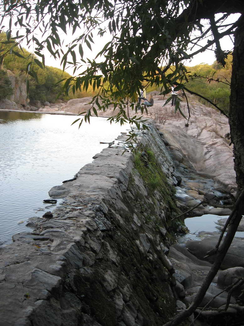
Two dams have been built to stabilise the level of the river, one downstream, which supplies about 7,300 km2, and the Huallanca hydroelectric plant (see Caroní River), through which the Santa River flows, covering about 4,900 km2.
Curiosities of the river Santa
In the 1980s, gold dust was found at the mouth of the Santa River, sparking a world-famous ‘gold rush’ in the region, especially among the rural and indigenous population (see Rio del Oro).
According to the Andean Institute of Glaciology and Geo-environment in the Cordillera Blanca, the glaciers that surround the Santa River cover an area of 724 km2 and hold 22.6 billion cubic metres of water, although they have been significantly reduced by ice erosion since about 50 years ago.
Curiously, the existence of a large number of lakes in this area of the Cordillera, together with deglaciation and earthquakes, represents a potential threat to this important region of Peru.
Rafting on the Santa River
Some areas of the Santa River, such as the Callejón de Huaylas, are ideal for water sports such as canoeing and kayaking, as they have intense rapids between the waters that flow between magnificent natural formations.
In the areas of Anta and Caraz, the rapids reach a level of difficulty of V, although there are places that go from II to III.