
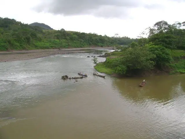
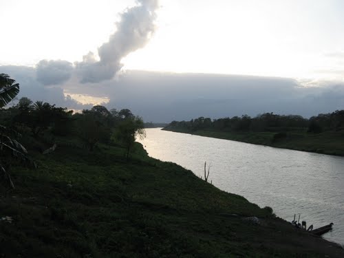
The Grande de Matagalpa River is located in central and eastern Nicaragua. It rises in the central highlands southwest of the city of Matagalpa and flows alternately northeast and southeast between the highlands of the Darién and Huapí mountains.
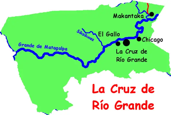
Map of the Rio Grande
Here we can see the extensive route of this tributary and some of its branches. We can follow its long path until it flows into the Caribbean. We can also appreciate its direction and notice that it is not a river that follows a straight line, but quite the opposite.
History of Matagalpa
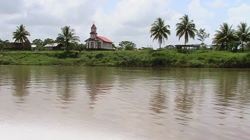
The city of Matagalpa is full of rural charm, nestled comfortably on a narrow, unpretentious river: the Rio Grande de Matagalpa, Nicaragua’s second longest river, which flows all the way to the Caribbean (see article: Rio Neckar).
Matagalpa was settled by the Nahuatl Indians and although the Spanish introduced cattle in the 17th century and the Germans introduced coffee in the 19th century, both countries originally came in search of gold.
Although no gold was found, the city became a coffee resort and an important economic centre for the country. The city is the birthplace of the famous Sandinista, Carlos Fonseca, and the resting place of the beloved volunteer Benjamin Linder.
As well as great shops selling local black pottery and coffee farms for visitors, Matagalpa is a good base for hiking in the nearby beautiful rainforest; it is also the last stop before the famous Black Forest.
Matagalpa’s Rio Grande basin
The Rio Grande meanders eastward through the eastern lowlands of Nicaragua, where it joins its main tributary, the Tuma, and flows into the Caribbean Sea at the town of Rio Grande. Although the entire length of the Matagalpa is 267 miles (430 km), only its lower reaches are navigable. Nicaragua’s first major hydroelectric plant was built and an artificial lake created at its headwaters (see article: Río Drava).
It is located in the departments of Jinotega and Matagalpa, in the Autonomous Region of the Northern Caribbean Coast and the Autonomous Region of the Southern Caribbean Coast. The river rises in the department of Jinotega, about 250 kilometres northeast of the capital, Managua.
The river flows east, crossing the department of Matagalpa, and in its lower reaches forms the border between the department of Matagalpa and the Autonomous Region of the Northern Caribbean Coast, and between the Autonomous Region of the Northern Caribbean Coast and the Autonomous Region of the Southern Caribbean Coast, where it joins the Rio Grande de Matagalpa.
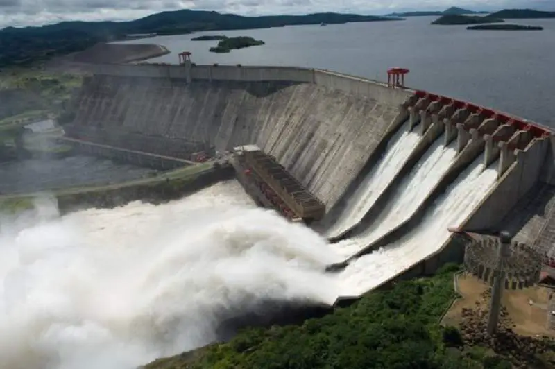
The largest towns on the banks of the river are El Tuma in the department of Matagalpa and Mulukuku in the Northern Caribbean Coast Autonomous Region. In 1964, President Luis Somoza Debayle decided to dam the river with the Mancotal dam to create Nicaragua’s first artificial lake.
Lake Apanás, which supplies power to the 50-megawatt Centroamérica hydroelectric plant in the country’s central highlands. It is also an important recreational area, with the river and lake providing much of the tourism for the department of Jinotega (see article: Río Cuarto).
Hydroelectric power
Despite being a country rich in natural resources, Nicaragua lacks the basic infrastructure to ensure a certain quality of life for a significant part of the population. This is all the more poignant given that 40 per cent of the population are children.
With the help of international organisations, the government is working to provide the majority of the population with access to basic services such as electricity through the National Programme for Sustainable Electrification and Renewable Energy (PNSER).
This programme will increase coverage from 65% to 85% of the population, benefiting more than 1.7 million people. IDOM is participating in this programme, which is financed by the Inter-American Development Bank and the Nordic Fund. In collaboration with the German company MVV decon, IDOM is carrying out a study of the hydroelectric potential of the basins of two of the most important rivers, the Rio Coco and the Rio Grande de Matagalpa.
Pollution of the Matagalpa River
The Grande de Matagalpa River receives more than 100 tonnes of garbage per day due to the lack of education of the people living around it. In the northern part of the river we can find the greatest biodiversity of Nicaragua, the crops in this area are: cortes, nispero, leche maría, mahogany, black guava, coyote, cedro real and macho, nancitón. Mango, lemon, tangerine, coconut, orange and pineapple. There are also several species of animals such as sloths, snakes, birds and lizards (see article: Río Tercero).
Unfortunately, the river is heavily polluted due to the lack of education of the local people. A total of 8 lorries of rubbish are dumped there every day, amounting to 124 tonnes. Due to the pollution, many environmentalists and newspapers have taken the matter to court.
The government has now introduced several laws to prevent this pollution. Ways to save the river water. Some ways to clean the water are: only wash clothes when you need to by checking every tap in the house for leaks. Toilets can also leak. Take shorter showers with a water limit and use insulated water pipes.