
Last Updated on September 27, 2023 by Hernan Gimenez
The Rio Coco is a 680 kilometre long river that flows through southeastern Honduras and northern Nicaragua.
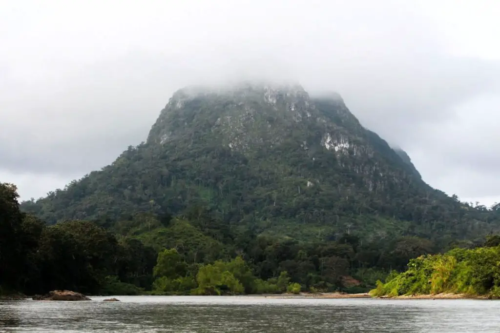
Wanki or Coco River
Also known as the Segovia River and the Wanki River in the Miskito language. The Coco River is considered to be the longest river in Nicaragua and even in Central America, as its entire course crosses the Central American isthmus (see also Lempa River).
Where does the Coco River originate? The answer is that the Coco River originates in the region of San Marcos de Colón, at the level of the Caulato Canyon, in Honduras, and is formed by the confluence of the Comalí River in Honduras and the Tapacalí River in Nicaragua. In fact, much of its course forms a natural border between these two Central American countries.
Its basin covers an area of 24,767 square kilometres and its mouth is a small delta in the Caribbean Sea called Cabo Gracias a Dios.
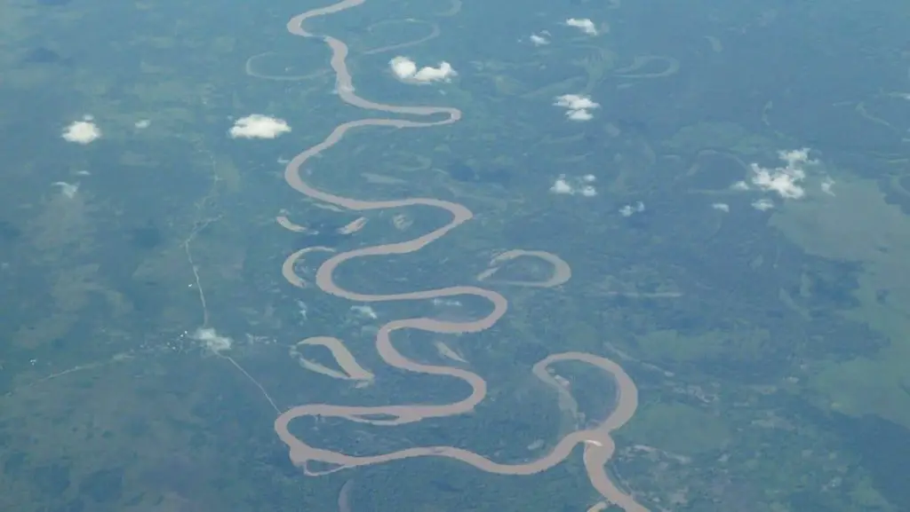
Map of the Coco River
The Coco River is one of the largest rivers in Nicaragua, having its source in the region of San Marcos de Colón, in Honduras, which is located between Honduras and Nicaragua, in the map of the Coco River below we show its source and mouth, as well as the exact location of the Coco River or Segovia River.
The Coco basin and its tributaries
The main tributaries of the Coco or Segovia River are: the Bocay River and the Waspuk River. The Coco River basin is located in the highlands of Nicaragua, with altitudes of over 1000 metres above sea level, in the north and south of the upper basin, in the Serranías de Dipilto and the Cordillera Dariense and Isabelia.
According to the Köppen classification, the river climate in these areas is tropical highland savannah. The western foothills in the department of Madriz have a Tropical Savanna climate, and in the North Atlantic region, from the municipality of San José de Bocay to the mouth of the Coco River of Nicaragua in the Atlantic, the climate is Tropical Monsoon.
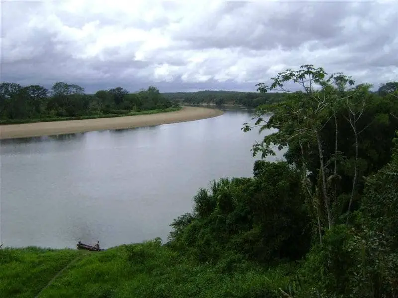
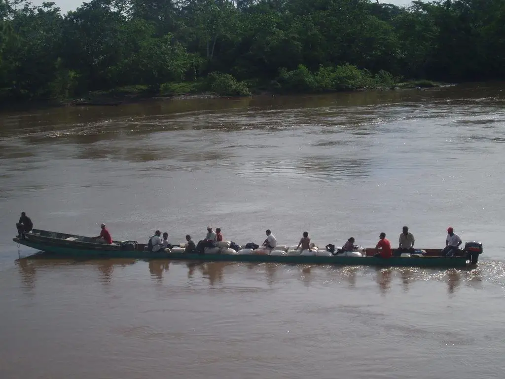
Navigation on the Rio Coco
The Rio Coco in Nicaragua or Honduras is still the main means of transport in the region, as many of the villages can only be reached by boat. The river can rise and fall about twenty-five feet over the course of a year, which can make the journey dangerous at times (see also Paraguay River).
The community of Leimus, once a thriving agricultural area, is reached after several hours on a bumpy road that starts in Waspam, the commercial capital of the Rio Coco, the river border between Nicaragua and Honduras since 1960.
Recently, the Coco River has been reported to be drying up and is no longer the fast-flowing river it was in previous years, with some stretches at high risk of disappearing.
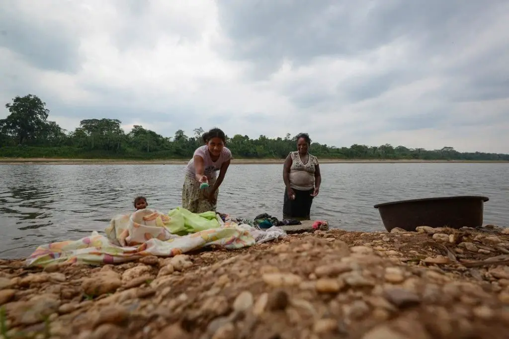
Climate change phenomena, livestock and agricultural activities on both the Honduran and Nicaraguan sides of the river, and uncontrolled and unregulated sand mining could be considered factors in the deterioration of the Coco River, which is drying up more and more each summer.
Maintaining sustainable water levels and conditions in the Coco River in Nicaragua or Honduras is essential for the people and ecosystems that depend on the land drained by the river. It also helps to reduce deforestation around the watershed and mitigate the effects of climate change.
Rio Coco in Honduras
We already know where the Coco River originates, in the south of Honduras, in the municipality of San Marcos de Colón, on the border with Nicaragua. Known affectionately by its inhabitants as the “Oasis of the South”, it has developed with horticulture, coffee and cattle as its main products (see also Cauca River).
It has 41 neighbourhoods and colonies, 18 villages and 229 hamlets with a population of around 28,000 inhabitants and is 12 kilometres from the La Fraternidad customs post on the border with Nicaragua.
And it is in this direction that the Wans, Coco or Segovia rivers share their waters with the neighbouring country, in El Caulato, with its waterfall and pool.
The locals invite you to visit the area as a tourist destination, as it combines the beauty and freshness of the river with beautiful landscapes and other natural beauties ideal for rural ecotourism (see also Amazon River).
Its mild climate, beautiful mountains, panoramic views and some monuments complete the mix that offers to know the region, as well as its handicrafts, leather products and gastronomy, where the roquillas and the elaboration of dairy products stand out. The Coco River is the largest and longest river in Nicaragua.