
The Pechora River is frozen from early November to early May. Navigation is possible up the river to Ust-Unya. Its basin is rich in coal, oil and natural gas.
Location of the Pechora River
The Pechora River, located in Russia, has a course of 1,124 miles (1,809 km). It rises in the northern Urals near Mount Koyp and flows south in a deep, narrow valley.
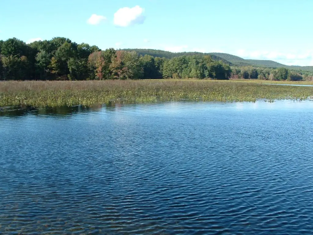
It then flows west and north through an extensive, flat basin to enter the Barents Sea through a delta. The Pechora drains an area of 124,500 square miles (322,000 square km).
Map of the Pechora River
Geography of the Pechora
It is 1,809 kilometres (1,124 miles) long (slightly shorter than the Columbia River) and its catchment area is 322,000 square kilometres (124,000 square miles), about the size of Finland.
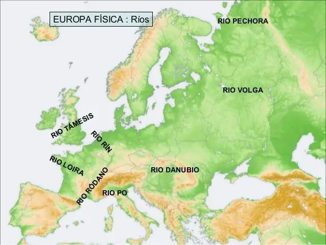
In terms of average annual runoff, it is the third largest river in Europe, after the Volga and the Danube. Its discharge is about half that of the Danube and slightly more than its sister river, the Northern Dvina, and is the largest of any undammed river in its basin outside New Guinea.
To the west of its lower reaches is the Timan Ridge. To the east of the basin, along the western flank of the Urals, is the Yugyd Va National Park.
The basin also contains the forests of the Komi virgin forest, the largest virgin forest in Europe. At the north-eastern end of the basin, on the Usa River, is the major coal centre of Vorkuta.
The Pechora River was once a very important waterway, especially for those travelling north-west from Siberia. Today a railway runs south-west from Vorkuta to Moscow.
The Pechora River Basin
The Pechora River rises in the Ural Mountains in the south-eastern corner of the Republic of Komi. This area is part of the Pechora-Ilych Nature Reserve (see article: Puelo River).
On the other side of the Urals are the headwaters of the North Sosva. The river flows south, then west, and turns north at Yaksha, which is the head of small boat navigation.
A tributary flows south into the Kama basin. To the east is the upper Vychegda River, a northern tributary of the Dvina.
The Pechora flows past Komsomolsk-na-Pechore to Ust-Ilych, where the Ilych joins it from the east, then northwest to Troitsko-Pechorsk (1,359 km (844 mi) from the mouth), north to Vuktyl and Ust-Shchuger, where the Shchugor joins it from the east.
The river flows north to the town of Pechora, where it crosses the Vorkuta Railway, then north to Ust-Usa, where the Usa River joins from the east (the Usa was once a major river route to Siberia).
The Pechora River then turns north-west, west and west-south-west. The Izhma River joins from the south. It then flows west to Ust-Tsilma (425 km from the mouth), where the Pizhma River (Republic of Komi) joins from the south-west and the Tsilma River joins from the west.
(Before modern times, people travelled up the Tsilma and moved to the Pyoza River to reach the White Sea). The Pechora then turns north and crosses the Arctic Circle and the border of the Nenets Okrug; Pustozyorsk; Naryan-Mar, the capital of the Nenets and a port at the head of the Pechora Delta; Pechora Bay; the Pechora Sea; and finally the Barents Sea.
The average monthly discharge of the river was recorded from 1981 to 1993 at the village of Oksino, 141 km upstream of the estuary (see article: Palena River).
Pechora River Projects
Before the arrival of the railway in Pechora, the main route into the region was a portage road from Cherdyn in the Kama River basin to Yaksha in Pechora.
A project for a Pechora-Kama canal along the same general route was widely discussed in the 1960s and 1980s, this time not so much for transport but to divert some of the water from the Pechora to the Kama as part of a plan to reverse the flow of the Great North River.
However, no construction work was carried out on the proposed canal route, except for a triple nuclear explosion in 1971, which created a crater more than 600 metres long (see article: Candelaria River).