
Last Updated on September 27, 2023 by Hernan Gimenez
The Papaloapan River is an important river in Mexico that originates in Tuxtepec, in the states of Oaxaca, Puebla and Veracruz.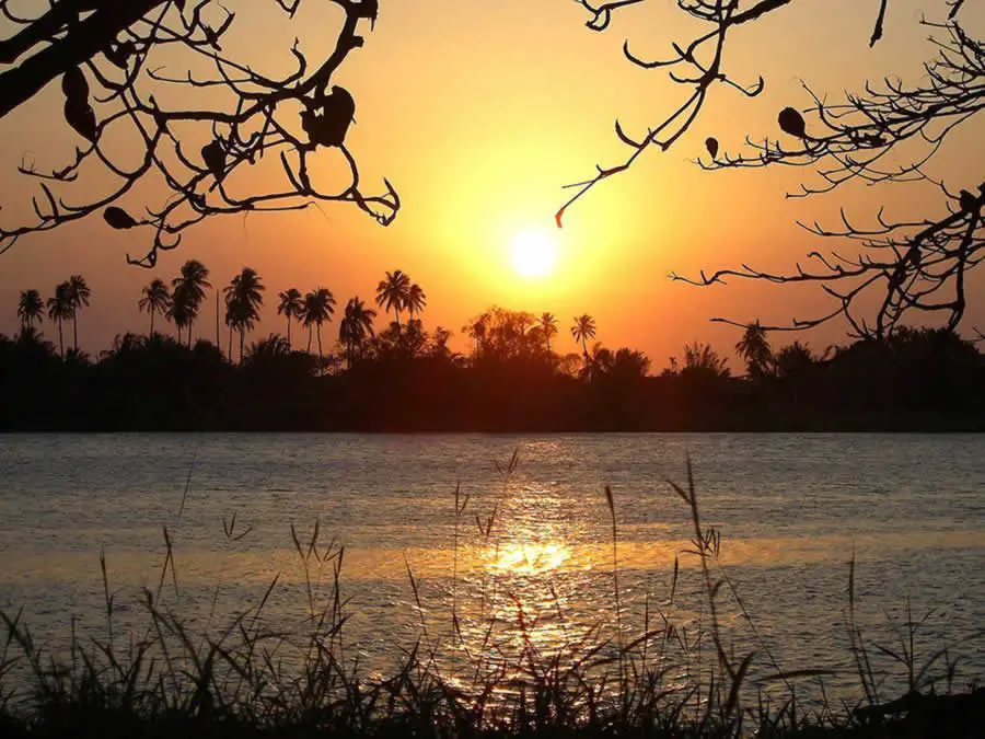
Location and map of the Papaloapan River
Specifically, it flows through the towns of San Juan Bautista Tuxtepec Oaxaca, Otatitlán, Tlacojalpan, Cosamaloapan, Tlacotalpan and Alvarado.
It is a region of lush vegetation and varied flora, just like other tributaries of Mexico, such as the Grijalva River, of which it is a part:
- Amate
- Mahogany
- Oak
- Palm
- Ceiba.
- Cedar.
And in turn animals such as:
-
- Porcupine.
- Armadillo
- Jaguar.
- Raccoon.
- Grey fox.
- Temazates.
- Green Iguanas.
White-tailed deer and a great variety of birds.
The Papaloapan River was of great importance as a means of transport in south-eastern Mexico, so much so that the main populations live along the river, but ecological changes have caused the river to widen and its bed to rise to great heights, making it no longer navigable.
However, population growth and development in the region, as in the case of Tuxtepec, which has become the second most populous city and the main economic centre of Oaxaca, prevents the Papaloapan River from escaping the problem of urban, industrial and agricultural pollution.
Below is the location on the map of the Papaloapan River, where we mentioned earlier that it is located in the states of Oaxaca and Veracruz.
Where does the Papaloapan River originate?
The Papaloapan River rises in Tuxtepec, in the state of Oaxaca, in the south-west of the country. Its name comes from the Nahuatl words Papalotl, "butterfly", and apan, "place of", meaning "in the river of butterflies", as it is usually called in its towns.

Papaloapan River Basin
The Papaloapan River is 354 kilometres long and its flow makes it the second most important hydrographic basin in Mexico.
The category of "hydrological region" has been established for the entire river system and the subcategories of "hydrological basin" for the specific zones of each river, so it is officially called Hydrological Region Number 28 Papaloapan and is composed of 12 hydrological basins with a surface area of 46,517.40 km.
The extensive Papaloapan River has large areas of fertile land on its banks and a warm, humid climate, which are favourable factors for the development of agriculture, cattle raising, fishing and the sugar industry (see Nazas River).
Among the main tributaries of the Papaloapan River are: the Tehuacan River and the Quiotepec River, which, when united, take the name of Rio Grande.
On its descent it is joined by the Salado River and becomes known as the Santo Domingo River. At its confluence with the Valle Nacional, it becomes the Papaloapan River.
At the border between the states of Oaxaca and Veracruz, it receives the waters of the Tonto River, and then slowly descends towards the sea along the leeward plains until it reaches a height of only 90 metres at 430 kilometres.
The waters of the upper basin of the Papaloapan River are "young", mountainous, with rapids and gorges, while in the lower basin its course is much slower and causes frequent floods.
To prevent serious flooding, the Miguel Alemán and Cerro de Oro dams were built on the Tonto and Santo Domingo rivers. Their reservoirs are connected to form the largest artificial lake in Mexico (see also Caroní River).
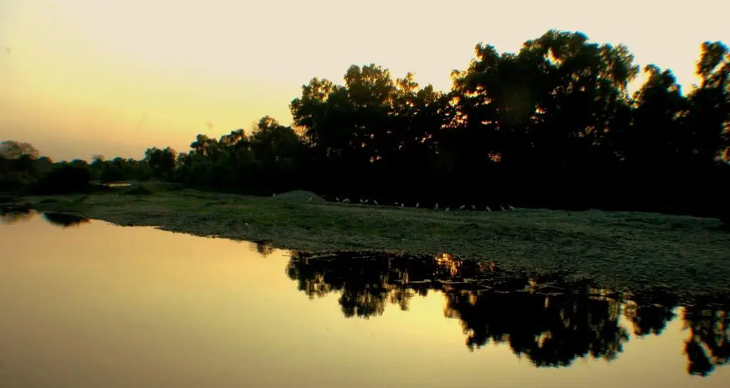
The depth of the Papaloapan River varies constantly, affecting the daily life of the surrounding villages. There have been periods of great depth and navigability, and other times when the river is so shallow that people can cross it on foot. During the rainy season, the river typically rises by 2 metres, and can reach almost 5 metres during its critical rise.
Pollution in the Papaloapan River
The Papaloapan River, like the river itself, receives sewage and pollutants from domestic and other sectors, mainly serious toxic discharges from a brewery, an alcohol factory, sugar mills, pineapple processing plants and, most alarmingly, the oil industry.
In the municipalities of Acula and Tierra Blanca, in the state of Veracruz, the Nopaltepec ethanol plant is constantly denounced for violating river protection regulations.
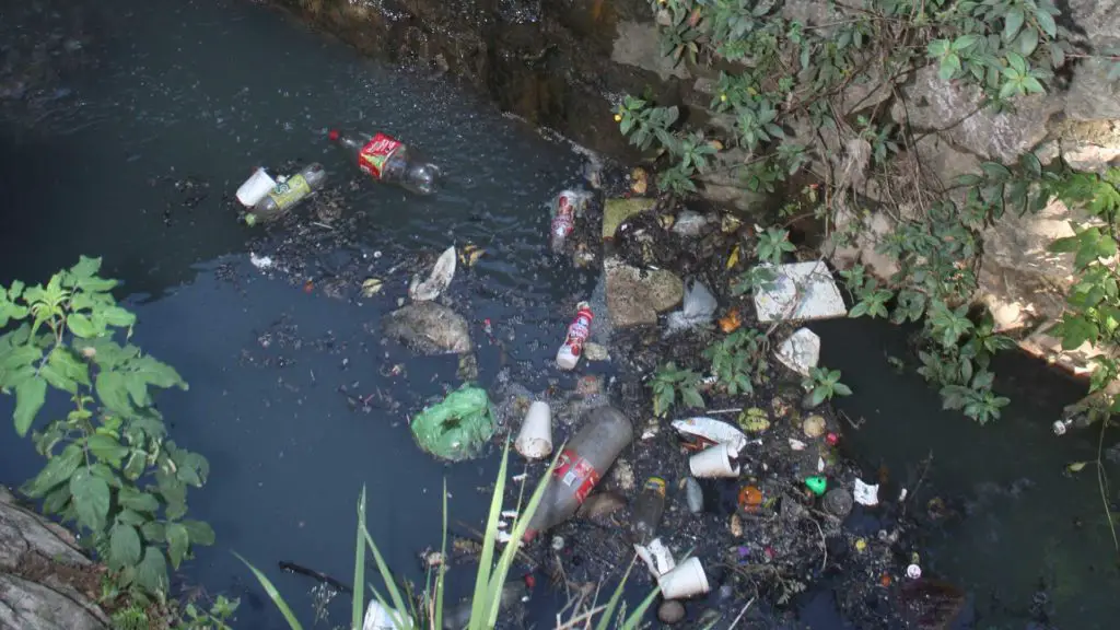
The processing plants, the sugar mills and even an oil company carrying out tests in the area dump highly toxic liquids used to wash machinery at the confluence with the Tonto River, as well as in the Plan de los Pájaros de Loma Bonita lagoon, where the pineapple processing plant dumps waste that pollutes the entire course of the tributary, causing the constant appearance of dead birds and fish.
[The ethanol producer is accused of dumping industrial waste through pipes in the Papaloapan river basin, called "vinazas", which are generally alcohols and a type of fertiliser protein, but when they fall into the Papaloapan River they cause the death of flora and fauna, mainly affecting the region's fishermen (see Bogotá River).