
The Ohio River contributes more water to the Mississippi River than any other tributary, draining an area of 203,900 square miles (528,100 square km).
The river valley is narrow, averaging less than 0.5 miles (0.8 km) wide between Pittsburgh and Wheeling, West Virginia, just over 1 mile (1.6 km) wide from Cincinnati, Ohio to Louisville, Kentucky, and slightly wider below Louisville.
Location
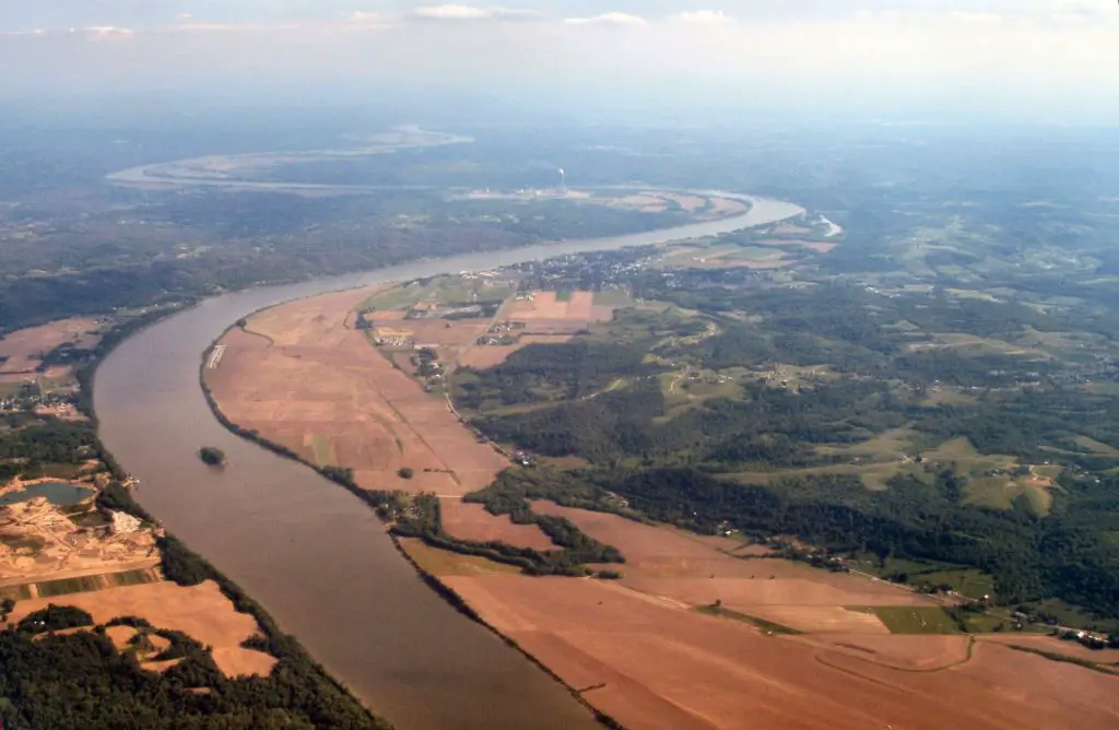
The Ohio River is the main river artery of the east-central United States. Formed by the confluence of the Allegheny and Monongahela Rivers at Pittsburgh, it flows northwest from Pennsylvania, then generally southwest to join the Mississippi River at Cairo, Illinois, after a journey of 981 miles (1,579 km).
It marks several state borders: Ohio-West Virginia, Ohio-Kentucky, Indiana-Kentucky and Illinois-Kentucky.
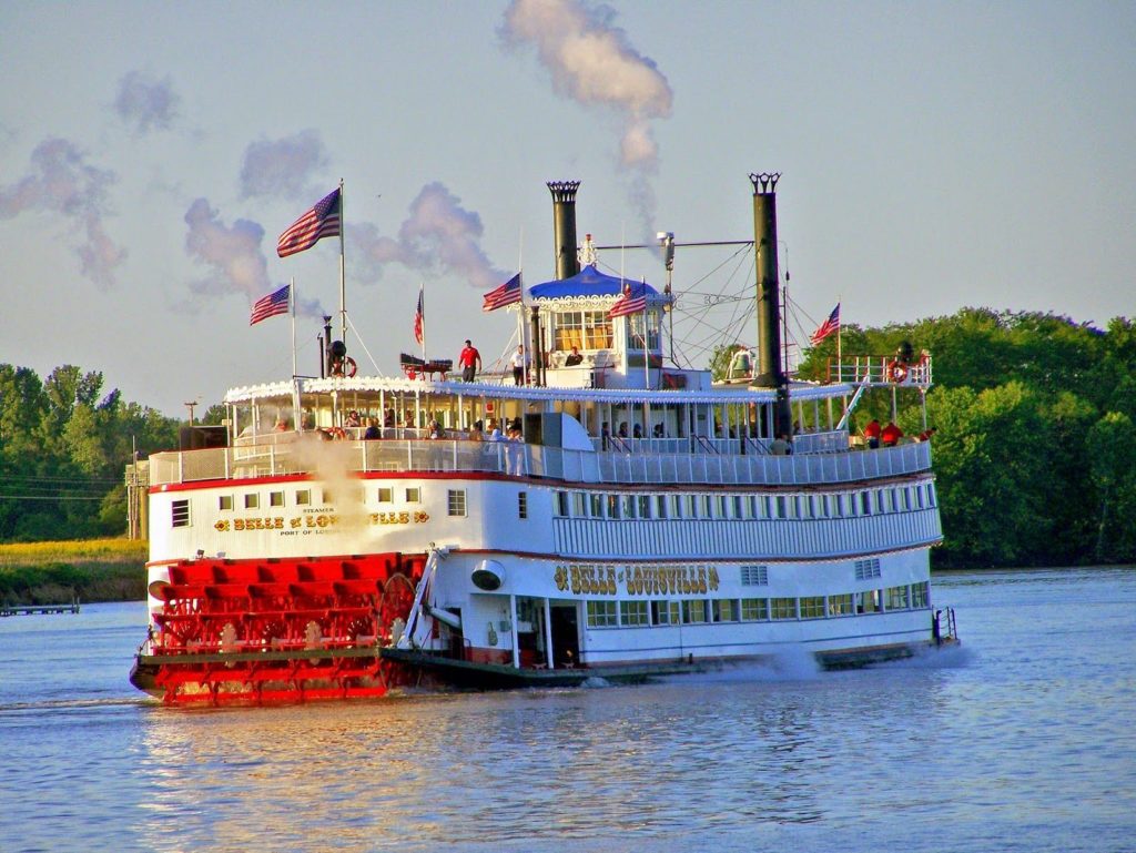
Major cities along the river include Pittsburgh, Cairo, Wheeling and Louisville; Steubenville, Marietta, Gallipolis, Portsmouth and Cincinnati in Ohio; Madison, New Albany, Evansville and Mount Vernon in Indiana; Parkersburg and Huntington in West Virginia; and Ashland, Covington, Owensboro and Paducah in Kentucky.
In the 1600s and 1700s, the Ohio River served as the southern boundary of what would become the Northwest Territory. In several treaties, the river also served as the dividing line between British settlements in Kentucky and Native American communities in the Ohio Country.
The British generally stayed south of the river, while the Indians continued to live and hunt to the north until the end of the American Revolution.
As settlers moved west through the Appalachian Mountains, many of these people used the Ohio River to transport their families and belongings westward.
Some of the first permanent settlements of people from the newly formed United States were established along the banks of the river. These include the cities of Marietta, Steubenville and Cincinnati.
Features of the Ohio River
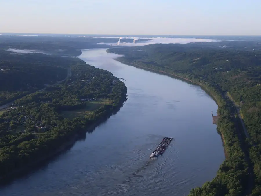
The Ohio is navigable and, despite seasonal fluctuations that occasionally reach flood levels, its fairly steady flow has supported significant trade since settlement began (see article: Mekon River).
After devastating floods at Johnstown, Pennsylvania, in 1889 and Portsmouth, Ohio, in 1937, the federal government built a series of flood control dams.
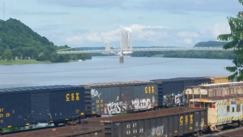
The canalisation of the river was completed in 1929 with 50 dams and locks in operation. This system was later replaced by a high-head system of 20 dams. Today, nine navigation projects (locks and dams) are in operation along the Ohio River bordering Ohio.
Although not developed for hydroelectric power in Ohio, the river, maintained at a navigable depth of 9 feet (3 metres), carries cargoes of coal, oil, steel and manufactured goods.
It has a total fall of only 429 feet (130 metres), the main navigational hazard being the falls of the Ohio at Louisville, where locks control a fall of about 24 feet (7 metres) in a distance of 2.5 miles (4 km).
Geology
Geologically, the Ohio River is young. The river was gradually formed between 2.5 and 3 million years ago. Early glaciations occurred during this period and dammed parts of the river as it flowed northward (see article: Arkansas River).
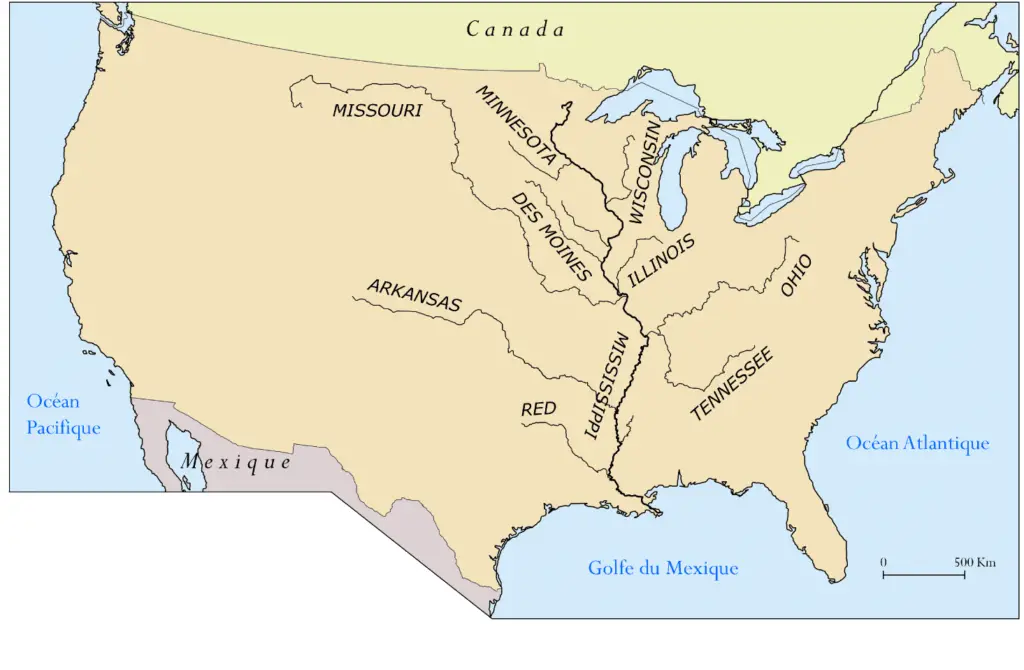
Tributaries
The Ohio’s tributaries include the Tennessee, Cumberland, Kanawha, Big Sandy, Licking, Kentucky and Green Rivers in the south, and the Muskingum, Miami, Wabash and Scioto Rivers in the north.
Recreation
The Ohio River forms the entire 451-mile southern border of Ohio. The river covers 91,300 acres of surface water along the Ohio border and offers many opportunities for recreation: recreational boating, fishing, sailing, water skiing and water skiing, as well as the Colorado River.
The U.S. Army Corps of Engineers began improving the Ohio River in 1824 by dredging sandbars and removing obstacles. The first lock and dam was completed in 1885 about five miles below Pittsburgh, and 12 more were built by 1910.
Commerce
During the 1800s, the Ohio River became an important trade route for residents of Ohio, Kentucky, Indiana and Illinois. Farmers and manufacturers used boats and barges to transport their crops and finished products downriver to the Mississippi River and eventually to New Orleans.
Once in New Orleans, the cargo was loaded onto ocean-going vessels for delivery to East Coast ports such as Philadelphia, New York and Boston. This water route was much faster and cheaper than transporting goods by wagon over the Appalachian Mountains.
Despite the advent of railroads, improved roads and air travel, the Ohio River continues to serve as a major artery for transporting bulk commodities such as coal and grain. The north bank of the Ohio River is also the southern border of Ohio, separating the state from West Virginia and Kentucky.
Here is a video (documentary) about the Ohio River.