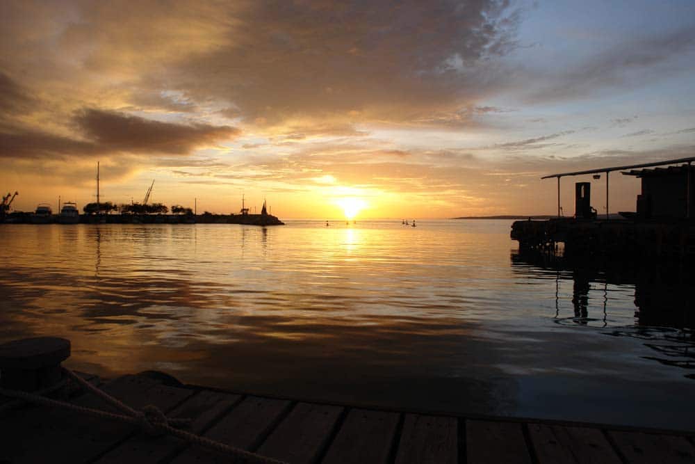
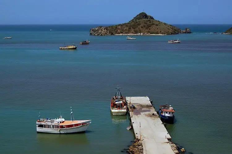
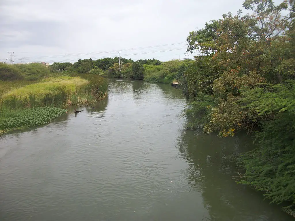
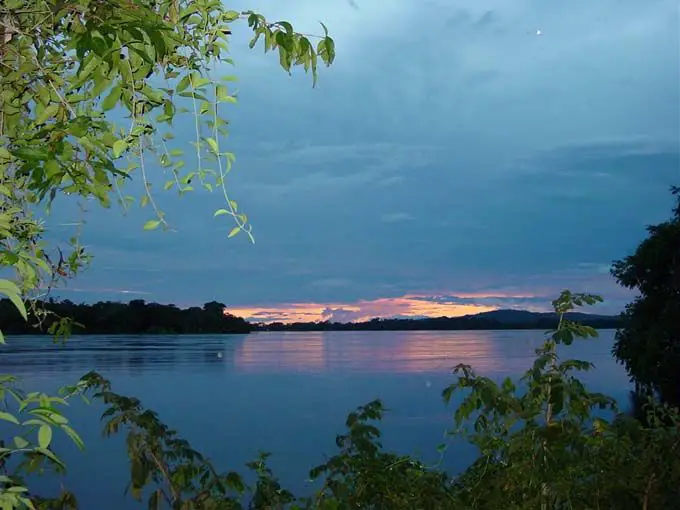
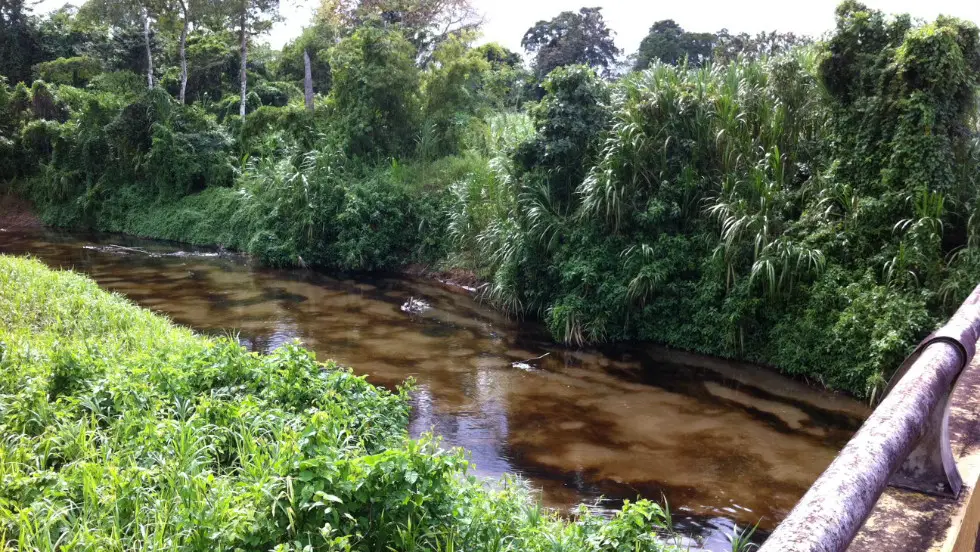
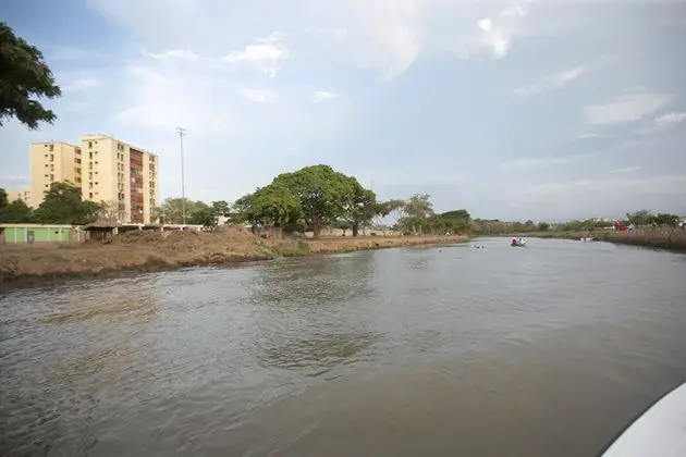
With a length of 80 km and a flow of 17.48 m3/s, the Manzanares River is an important part of Venezuela’s history due to its long course and the fresh water that the inhabitants of Cumana enjoy. Read on to find out all about this river!
The Manzanares River is an important river in Venezuela, located in the state of Sucre. It has a long history dating back to the colonial period when the Spanish arrived in Venezuela and named it “Manzanares” after the Manzanares River in Madrid.
The river flows through the metropolitan and busiest area of Cumana, capital of the small state of Sucre, with a population of 480,918 (according to the 2012 census). The main outlet of these waters originates here, to the north and east, close to the town of El Peñón, which passes near the town of Cumanacoa, in the municipality of Montes, in Sucre. This means that the impact of the water is not very positive.
This is due to the presence of large industries, small clusters of legal and illegal houses, agricultural areas and areas where sand is mined, endangering the fauna and beautiful flora of the Manzanares basin. Many of these companies are unaware of the damage they can cause to the river, which is why the people of Cumana did not agree to their construction.
A very curious fact is that in 1958 the composer and singer Victor Piñero wrote a song called “Río Manzanares” for his soundtrack Matancera. It was a very famous song in the middle of the 20th century because it showed the incomparable love that these people have for this town and the river that surrounds it.
Indice De Contenido
Place
It is part of the hydrographic chart of the Caribbean Sea. It is located in the state of Sucre, in the important city of Cumana, Venezuela. It has a mouth that begins in the Gulf of Cariaco and its source is in the Turimiquire Peak, besides this it has a short length of 80 km and its account surface covers about 1066 km2. If we talk about its source, it is 2200 m long and its mouth is 0 m.
The state of Sucre is one of the 23 states that make up Venezuela, along with the Metropolitan District. Thanks to its environment and the many rivers that cross this beautiful state of Venezuela, many people visit it because of its relatively clean and pure waters. Among these advantages we can say that you can get drinking water from some rivers, walks in the mountains of the High Sucre through the Macizo Montañoso and the organisation of activities that promote the coexistence of localities and awareness to preserve these environments.
Some of these important sites related to the Manzanares River are
- Los Altos de Sucre
- Cumanacoa
- The waters of Poa
- The two rivers
- Agua Blanca River
Numerous waterfalls and tributaries are scattered throughout this area. We are talking about 11,800 km of national waters, adorned by fauna and flora that have coexisted in these places for years. The Manzanares River, on the other hand, is a more relaxed and peaceful place that runs along an avenue complemented by a park where children and adults alike enjoy themselves in the afternoons.
History of the Manzanares
It is said that the origin of the name of the Manzanares River dates back to colonial times, when the Spanish conquistadors in Cumana, decided to give it this name thanks to the river that is located in Madrid, the official capital of Spain. Both have the same characteristics, one of which is that the river crosses the city, they share an avenue and a small bridge, and they are located in an area where people live. The river is in front of the freshwater spring called Nueva Cadiz.
It is said that at that time the Spaniards had not yet arrived in this place, so it is quite acceptable that the name of the river was Cumana River, also because the capital of Spain, Madrid, did not have its official name until a few years later. At that time, Madrid was a very small town with only a few people of no great importance.
Although there are other stories which conclude that it is very likely that it was given this name because it was a very common name in the language of the Venezuelans of the time. In the countries of South America it was called Manzanares, even in some parts of Madrid, Logroño, Soria and Ciudad Real it is used to name some neighbourhoods.
In countries such as Colombia, Peru and Argentina it is also very common to use this word, for example the Manzanares River in Colombia, but only in Venezuela is it found with greater value. In other important events we have that the important Alexander von Humboldt, created a masterpiece that he called “Equinoctial Names of the New World”, here he described that the first Spanish volume of 5 years, starts in Cumana.
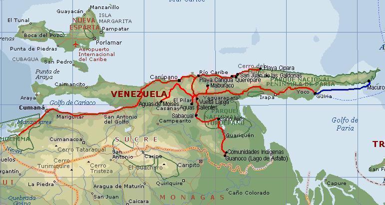
Manzanares River: Map
Here we can appreciate its location and parts!
Route of the Manzanares River
It is eighty kilometres long and is also known as the Cumana River. If you are wondering where the Manzanares originates, we can tell you that it rises in the Turimiquire highlands at an altitude of 2200 metres. After the origin of a basin that is about 100 km /2, it flows down near the Gulf of Cariacao, which is in the Caribbean Sea.
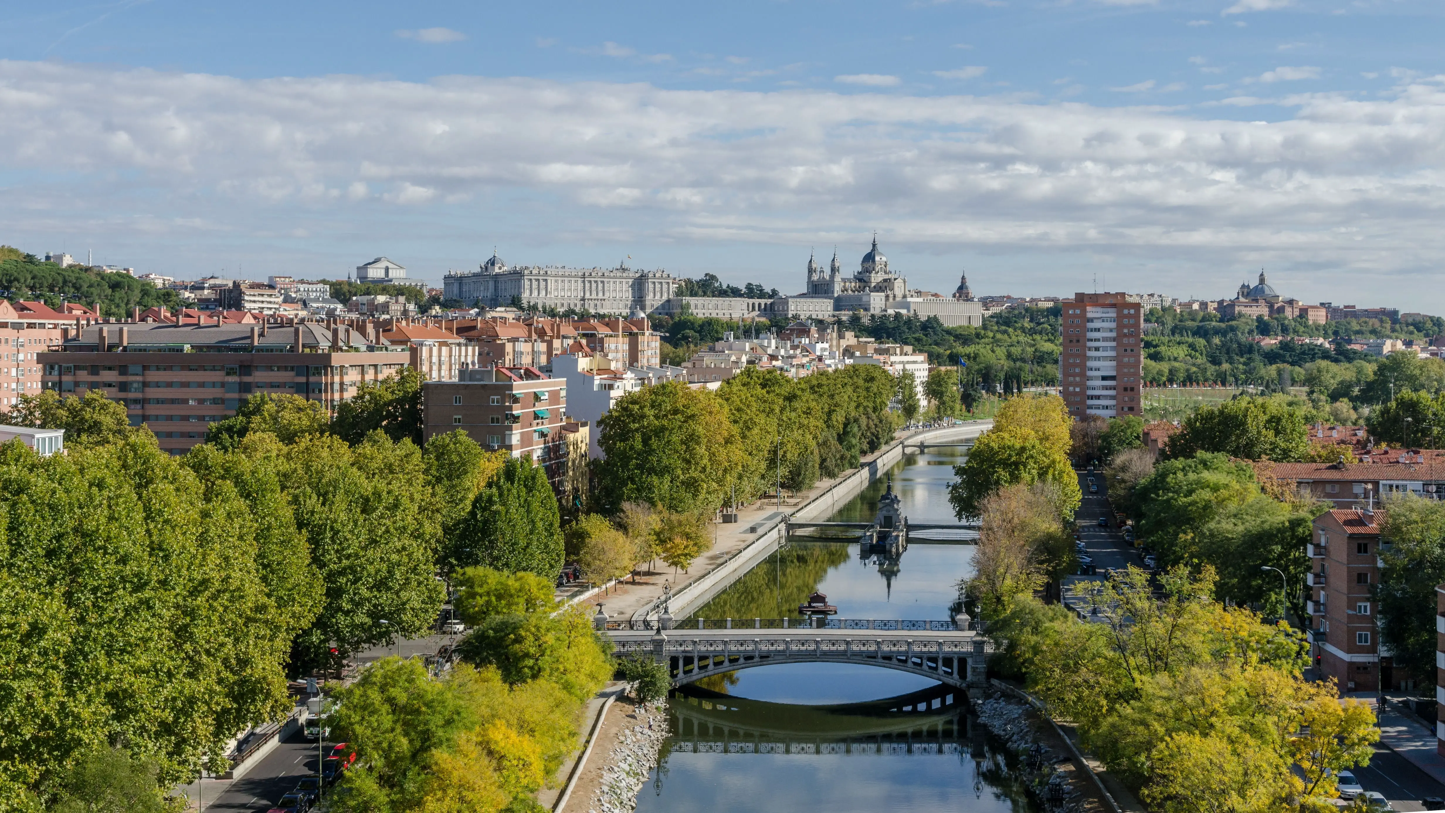
River Manzanares in Madrid
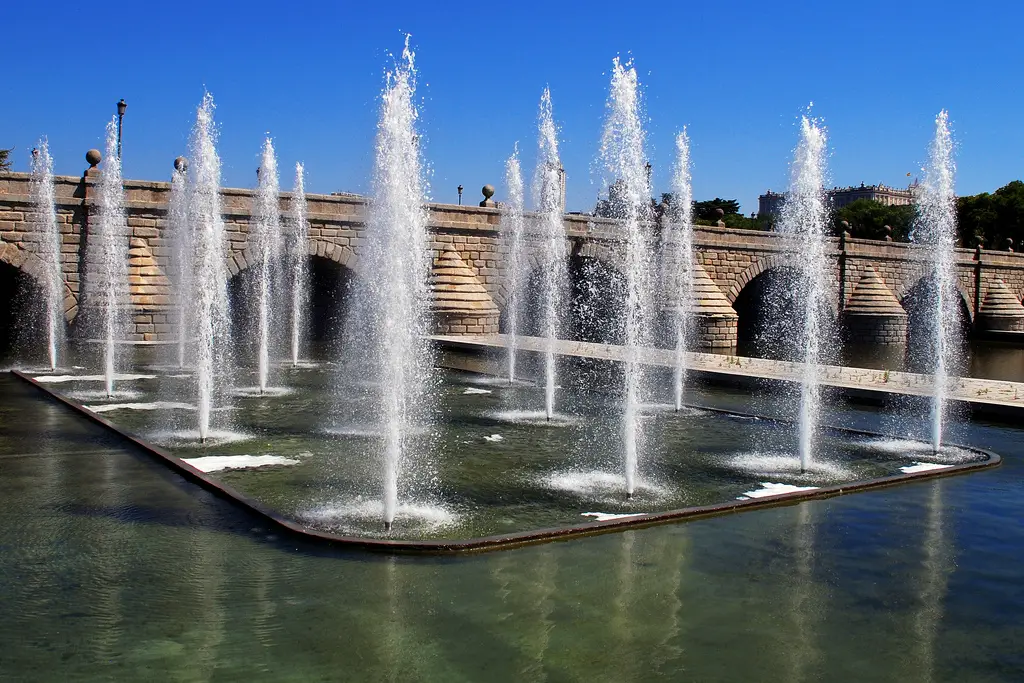
The river Manzanares is located in the centre of Spain, where it has a tributary on the right called Jarama, to which another tributary called Tajo belongs. This river flows calmly through the city of Madrid. Its source is in the Sierra de Guadarrama, in Ventisquero de la Condesa, and it crosses Madrid, from where it quickly flows into the Jarama River, in the municipality of Rivas-Vaciamadrid, forming a delta that is 92 kilometres long.
Its country is Spain and it has a section in the Community of Madrid. It has an average flow of between 15 and 20 m3/s and its source is about 2010 m with a mouth of 533 m.
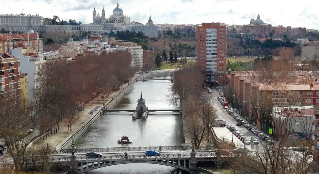
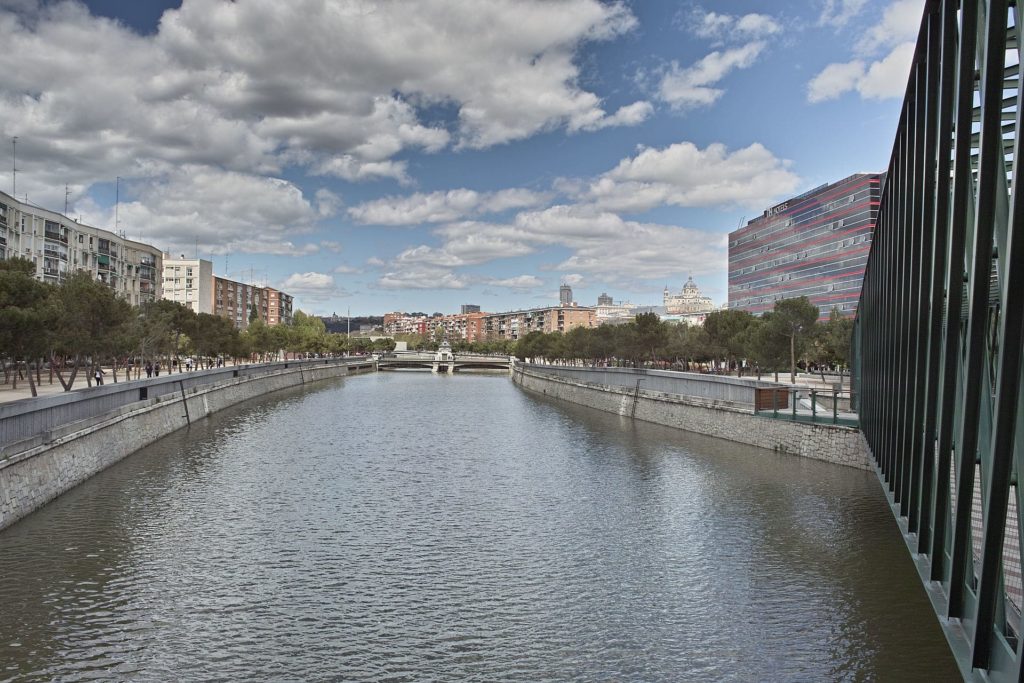
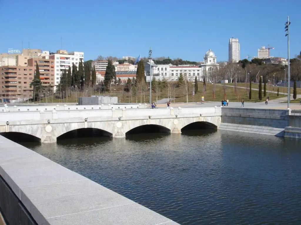
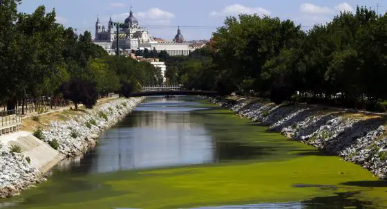
Being a river that covers most of the city of Madrid, it passes through different sections where it can be observed by those who walk through the city. It has different ecosystems that receive different types of care from the municipalities of Madrid, even campaigns have been made to make people feel love and affection for this river that adorns the city of Madrid and the community of Madrid with beauty.
It covers an upper basin from its source in Monte de El Prado (including La Pedriza) to the Upper Manzanares Basin Regional Park (52,796 hectares). Further downstream, the Southeast Regional Park takes care of its course. This means that the only part of the river that is not fully protected is where the urban part of Madrid begins, in the city.
For many years, the local authorities have worked hard to make the urban section of the Manzanares navigable in Madrid, with great success. Years of preparation of the waterways, damming and canalisation have made this river fully navigable in some stretches with small boats.
High course
Its source is the Ventisquero de la Condesa, to the south of the Cuerda Larga, at an altitude of 2010 metres, where in winter a great deal of snow accumulates, giving the town a unique appearance until spring, when it melts. Here the Manzanares River takes the name of Manzanares el Real and continues on its way to La Pedriza, a passage with rock formations that has been declared a Biosphere Reserve.
The first part of the river flows north-west and south-east along narrow channels (like the Uruguay River) that fill the waters. When it reaches a height of 1300 metres, all those metres turn to the east, but it doesn’t stay in that direction for long, as it quickly turns back to the southeast, long before it enters the Garganta de la Camorza. From here the atmosphere changes again, with very large rock formations crashing against the rocks, full of pools and pits, together with beautiful waterfalls and pools that bring the river to life.
Continuing eastwards, you arrive at the place known as El Tranco, where you turn south, leaving Peña Sacra behind you long before entering the town of Manzanares el Real, and passing through the centre of Molino de Manzanares. It is worth remembering that this walk takes place within the Garganta de Manzanares.
Once it has crossed the village of Manzanares el Real, where it flows close to the castle of Mendoza (one of the most beautiful and important monuments to be seen along its course), it is fragile and stopped by the Santillana reservoir, built in 1907 to produce electricity, but replaced in 1971 by a reservoir to supply drinking water to the town. The river then continues south to the municipality of Colmenar Viejo, where it is still called the Mountain River.
In this part of the municipality, where the river flows, we can admire different types of architecture, such as old bridges, mills and fulling mills, built to take advantage of the river’s original water supply. In this part of the route we can see the famous Batan and Grajal bridges, both of which are clearly medieval in origin.
Middle section
This is where the Manzanares River crosses El Prado Hill, and thanks to this, we will no longer see narrow and narrow streets, but its notorious widening. At this point the river is part of the Madrid Natural Park and the waters of the El Prado reservoir, built to regulate the damming of the river when it was part of the capital, mix with it. One of the most beautiful Mediterranean forests in Europe (and preserved by it) forms part of this river, and at this point the Manzanare River forms it.
The Mediterranean forest (also called Durisilva) is a scrub forest that grows in places with a Mediterranean climate. It is known for its very dry summers, mild winters and rainy springs and autumns. The only thing that can affect this type of forest, which grows close to the river, is forest fires, which can completely destroy the different types of trees and flora that can be found there.
This forest is the biological home of several species of mammals, birds, amphibians and reptiles that live there and are protected by the Community of Madrid. A large number of these species can be found here. There are other rivers, such as the Amazon and the Solimoes, which contribute to the protection of these species.
The Manzanares River then crosses the town of Prado, leaving on its left the town of El Pardo, which belongs to the municipality of Madrid, the Royal Palace on its left, and then forms a basin called Playa de Madrid, which used to be a place of recreation and bathing, but over the years the number of visitors has decreased, although it is still very popular. It then reaches the Somontes sports complex, which is joined by Puerta de Hierro, where it turns into the Zarzuela racecourse.
It flows to the Puerta de Hierro, a place that once marked the border between Madrid and El Pardo, follows its course to the French Bridge and then enters the urban area of Madrid. Once here, it completely covers the population with gentle water currents that allow the citizens to use the free, quiet spaces for their own recreation and entertainment, such as the Segovia Bridge.
Afterwards, the river’s flow increases incredibly, thanks to the dizziness caused by the capital, which is previously recycled by an integrated system created in Madrid to control wind pressure. Along the course of the river, the Manzanares reaches the monumental bridges of the Puente de los Franceses, built in the 20th century during the Civil War, and then, further downstream, the Puente de la Reina Victoria, built between 1908 and 1909, and the Puente del Rey. From here it only flows through the centre of Madrid.
Lower course
Leaving all this behind, the river concentrates more in the centre of Madrid to the south, after a course of about 30 km in the municipality, for this part it turns to the pedania called Perales del Río, which belongs to Getafe, forming different vegas. Its direction flows towards Rivas-Vaciamadrid, which shares the cliffs and rocks of the town of La Marañosa, a parallel with the already mentioned river Jarama, finally flowing very close to the Presa del Rey.
At the end of the river, at the end of the route, the river is completely protected from its beginnings by the Regional Park of the Courses in the Lower Part of the Manzanares and Jarama Rivers, better known as the Regional Park of the Southeast of Madrid, created in 1993. It is a beautiful natural area with a wealth of flora and fauna and different species that give life to the park. In addition, there are many areas where there is a wealth of history, such as land with ecological, palaeontological and archaeological material.
Pollution in Madrid
This is due to the fact that the amount of wastewater discharged into the watercourse is virtually equal to or greater than the amount coming out of the tap. This is a challenge for wastewater treatment plants, as the difficulty increases when the city is larger than the tributary. Despite this problem, the plants involved in this activity deliver water at a level below the established standards. In other words, they do an excellent job and this is reflected in the water of the river.
Manzanares Santa Marta River
This is a small river that crosses the city of Santa Marta in Colombia, like the famous Caqueta River, it has its source in the Cuchilla de San Lorenzo with a mouth in the Caribbean Sea. Its source is 2,300 metres above sea level. It rises near the Sierra Nevada de Santa Marta and in San Lorenzo. Here is a video of a flood in Cumana.
https://www.youtube.com/watch?v=Z0gcKqbyFAI
Pollution
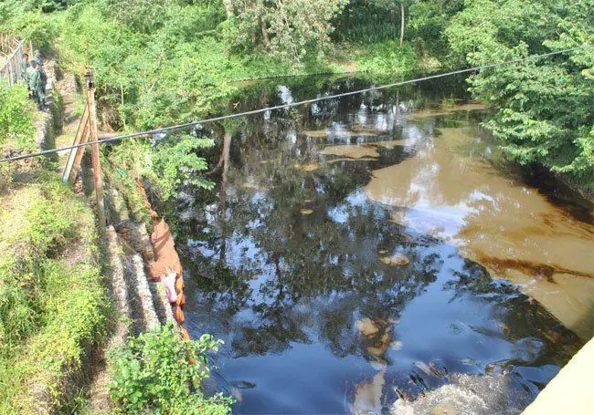
The Manzanares River is very beautiful when it is born in San Lorenzo, with pure and clear waters, without any problems, waters of great quality are found and surround the soils, but when it begins to touch one of the first districts of its journey, its waters begin to deteriorate due to the rubbish and the little care that people give to the river. The low culture of the inhabitants has brought many inconveniences to this river, which is very unfortunate because the river has a great potential to give.
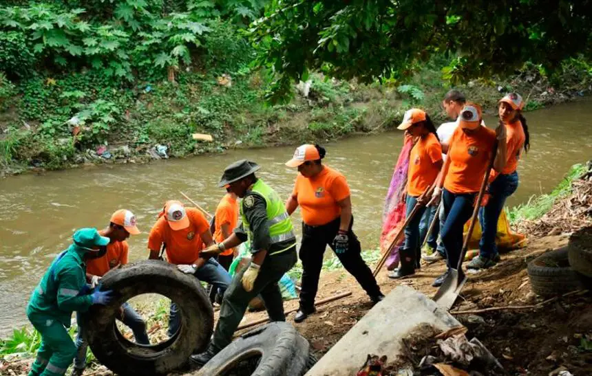
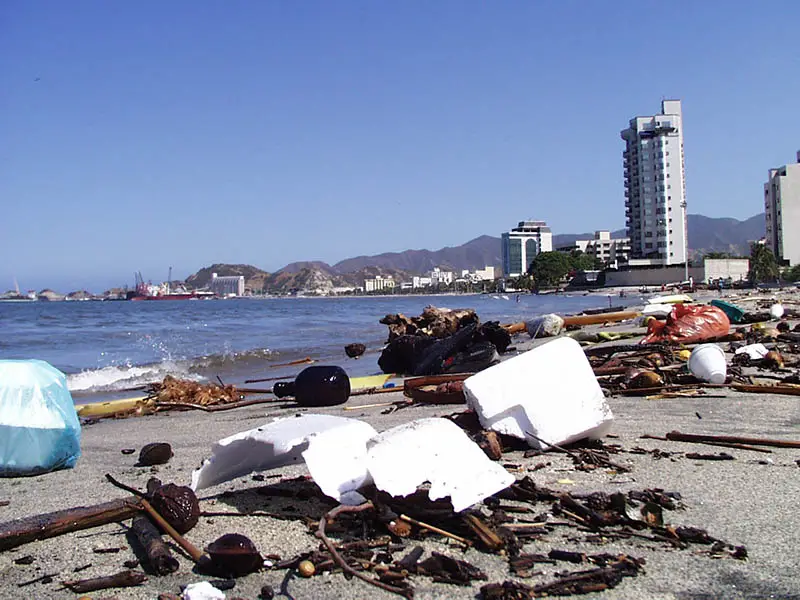
In addition to the fact that the river does not have a good sewerage system that can distribute the water everywhere, this leads everyone to use the Manzanares as a place to dispose of rubbish, the sewage of the citizens who live in the neighbourhoods. Much of this is mattresses, dead animals, plastic containers and other rubbish that affects some of the fish that live in the river.
This has had bad consequences, as having a population close to the river can affect the health of children and adults. The river has already become a centre of bacteria and infection, where all kinds of mosquitoes and many diseases can be harboured:
- Dengue
- Chikungunya
- Yellow fever
Pollution of the Manzanares River
The main sources of pollution are
- Areneras In the location of the Manzanares River there are several companies dedicated to the production and total extraction of sands. there is an exact number of companies that work with this, but the quality of sand that these lands possess is very good, so it is said that it is very likely that there are more companies that have been working without the proper authorization. This is in addition to the various urban, industrial and agricultural activities that can have a major impact on these waters.
- Household waste: many residents throw their waste into the river because they are unaware of the municipal collection systems and because there is a lack of proper treatment. The impact of these actions on the ecosystem is very noticeable and can even be disastrous, one of them being that, after many studies, a high level of ammonium has been found, which favours the proliferation of micro-organisms, bacteria and diseases that affect the citizens.
Reports have shown that much of the pollution in the Manzanares reaches the river through drainage pipes, which were designed to drain directly into the river to keep it at a reasonable level and prevent it from overflowing, but thanks to the construction of houses and urban areas, many of these drains have become blocked by the amount of cement and soil that has accumulated over the years. As the population grows every year, so does the popularity of the river, bringing more people to the river.
- Solid waste from popular markets: As the city has grown and become more important, it has been supplied with fish, vegetable and fruit markets, all municipal, which cause stagnation of the water flow by liquid and solid materials near the mouth of the Manzanares. Some of these are liquor, ice and food processing plants.
- Agricultural practices: these activities include filling land with sugar cane and manioc plantations. These practices are a bit drastic and not at all for the benefit of the river. Unconsidered burning has been carried out to eradicate pests or unwanted bushes that cause the river’s flow to diminish on a daily basis. Many of these farmers use chemical pollutants to make plants grow and kill pests.
- Cumanacoa Oxidation Lagoons: This oxidation lagoon was built many years ago and in 1996 and 1997 cleaning plans were started, but for some reason they were not completed, causing a lot of wear and tear in this area. As it rained more and more, the water completely flooded each lagoon, causing it to overflow and the water was always flowing into the Manzanares River.
- Wastewater treatment plants in Punta Baja and La Llanada: The city of Cumana currently has two basic water treatment plants. The Punta Baja plant and the La Llamada plant, which is still under construction because of some problems. Only one oxidation lagoon is operational.
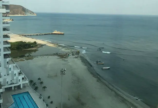
There are also Hidrocaribe pumping stations and drainage canals. The company Hidrocaribe is responsible for pumping a lot of sewage from the Manzanares River in the city of Cumana into the river and then directly into the sea. This is particularly dangerous because the water, which is full of bacteria and highly toxic waste, goes straight into the sea without any prior treatment.
There are also canals that collect waste water from all over the city, which ends up in the river and on the coast, bringing with it all the liquid and solid waste from the highways, roads and streets of Cumana, such as burnt oil, metals, toxic iron and so on. Figures have shown that 85% of the population of Cumana and far less than 50% of the population of Cumanacoa have a good system for transporting waste away from the locality.
The remaining houses and apartments are located very close to the river and have much less access to a good sewerage system, which has serious consequences, since these people have no other solution than to dump their waste, or a small part of it, into the water channels that make up the river.
In conclusion, we can say that the Manzanares River has many advantages that have not yet been exploited, since the state of Sucre in Venezuela is an important tourist state, where there are numerous warm places for recreation, caves, lagoons, beaches, mountains, are some of the sectors that adorn this paradisiacal state.
Sucre is mainly catalogued for being a warm state where the beaches can be an excellent enjoyment for all types of people, and in Venezuela you can find all types of climates, from the coldest, like the state of Merida, to the hottest, the state of Zulia. Most of the rivers in Venezuela form an important part of each region, as well as naming different lakes that have their origin in the country. It is very important to take care of each of these environments, to protect them and make the most of them.The Manzanares River has a history that will never end, it has the names of other rivers in the world, thanks to the Spaniards and their expansion around territories that today form nations. The climate, the environmental conditions, the people and the cultures are some of the things that we must keep with us, and above all the love, affection and care for this world heritage of our planet.

