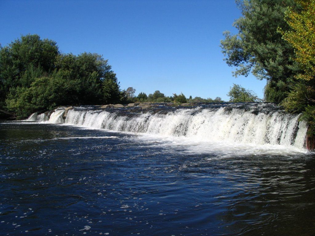
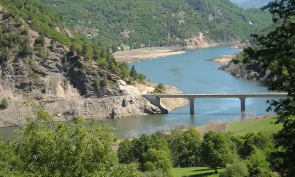
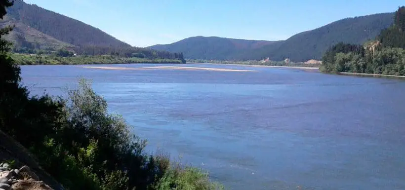
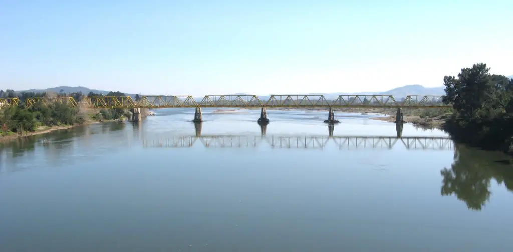
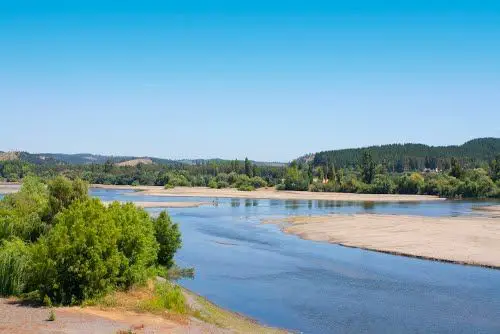
The Itata River flows through the Bío Bío region of southern Chile. From its source in the basin of the Cholguán and Huépil rivers to its mouth in the Pacific Ocean, the Itata marked the boundary between the Mapuche in the south and the Picunche in the north until the conquest of Chile.
Indice De Contenido
Characteristics of the Itata River
The benthic fauna and substrate were analysed in three areas of the Itata River and three irrigation canals at the outlet and about 500 m downstream. The benthic fauna included 56 taxa, of which 12 were exclusive to the river, 11 were found only in the irrigation canals and 33 were found in both environments (see article: Urumea River).
The widest distributions were found for Diptera, while Trichoptera and Ephemeroptera were more abundant in the river. The highest biomass contribution was made by Gastropoda in the irrigation canals and in the river, although there was also a significant biomass of larvae of the family Tipulidae in the river.
Both specific richness and density were higher in the river, while biomass did not show significant statistical differences. The mineralogical composition of the bottom of the canals and the river was different.
The former was of granitic origin and the latter of fluviovolcanic origin. Finally, the bottoms of the canals had a higher content of organic matter than the river (see article: Zin River).
Location of the Itata River
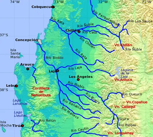
The Itata River and its longest tributary, the Nuble River, flow westward and reach the Pacific 60 km north of Concepción. This is a quiet valley with some native forest along the banks near the river mouth.
In the little village of Vegas de Itata. There is no bridge here, although boats can be hired to cross in summer; in winter the river swells and no one tries to cross (see article: Río Urederra).
Map of the Itata River
After two years of discussion and planning, on 12 July the Chilean Senate approved a law that will split the current province of Ñuble from the Biobío region and create a new administrative region out of it. From now on, the new region will be called Ñuble and will be Chile’s 16th region, including the same 21 municipalities as the current province of Ñuble.
Ecology of the Itata River
The Itata River plays an interesting ecosystem role as an area for sporadic and resident waterbird species. Due to its relatively high bird diversity, very little is known about the biodiversity of the bird community and its dynamics in the river in Chile (see article: Río San Luis).
This study was carried out in the Itata River (Chile) for waterbirds, seasonal censuses were conducted during 5 years between 2006 and 2010 within this wetland. We assessed temporal patterns in waterbird diversity and used indicator species analysis (Indval) to identify bird species as bioindicators of temporal community structure in this ecosystem.
We recorded 71 bird species, representing 54% of the national waterbird species. Most of these species (77%) are classified as resident, while 20% are visitors and 3% are sporadic.
The river has a wide variety of waterbird species that arrive seasonally during the austral summer. Our results showed that there are important temporal differences in waterbird community structure over the five-year period in the river.
The study focused on the majority of species and classified the waterbird community into four significant groups, with each group showing seasonal patterns characterised by a variable number of indicator species.
The abundance of numerically dominant and common species such as Vanellus chilensis, Himantopus melanurus, Charadrius modestus and Sterna hirundinacea explained much of this temporal variation.
Different ecological factors may influence the temporal patterns of bird community structure in the Itata River and should be addressed in future studies of this wetland. In addition, this large local assemblage of species may be important in maintaining landscape diversity through the movement of other local or regional wetlands.
Itata River Bridge
Construction of a bridge over the Itata River began in 1914 and was completed two years later for use by provincial residents. Declared a National Monument in 1993, the bridge connects the municipalities of Coelemu and Trehuaco, in the Bio Bio region.
The bridge brought an economic and cultural opening of great impact to the area, the provinces around the Itata River grew rapidly to the benefit of the provinces and their inhabitants with the use of the bridge over the river.

