
The Guayas River is not only one of Ecuador’s most important natural resources, it also forms the largest river basin on the Pacific coast of South America.
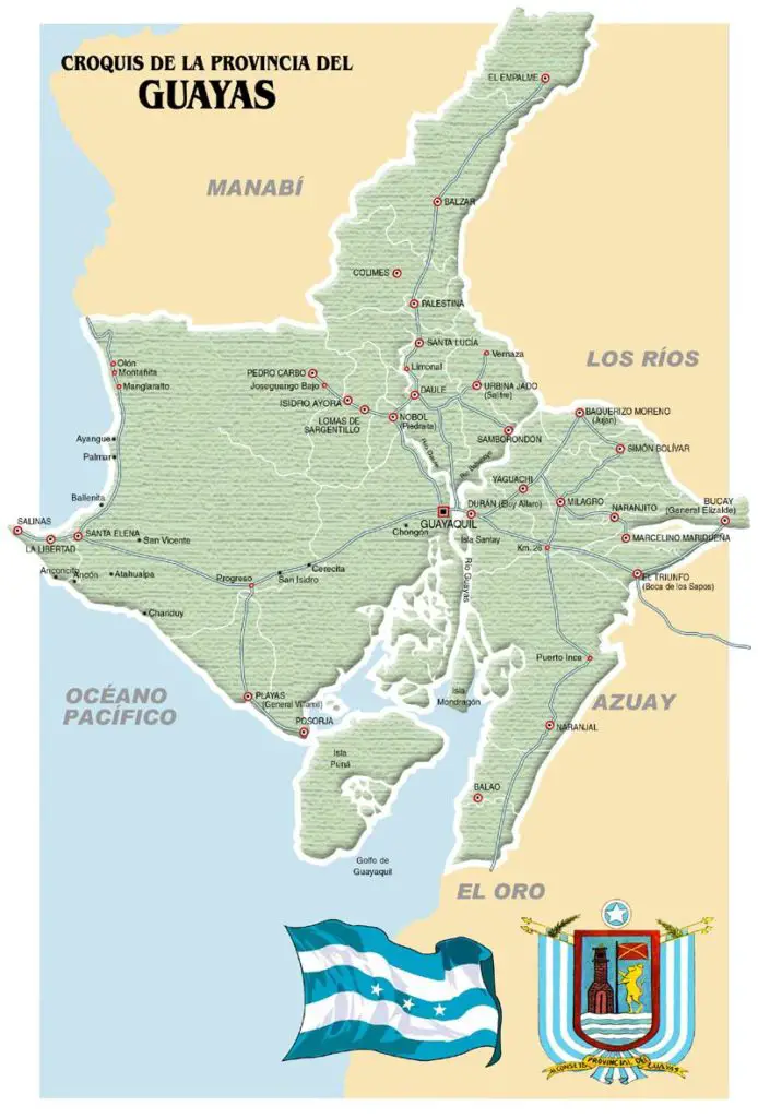
Map of the Guayas River
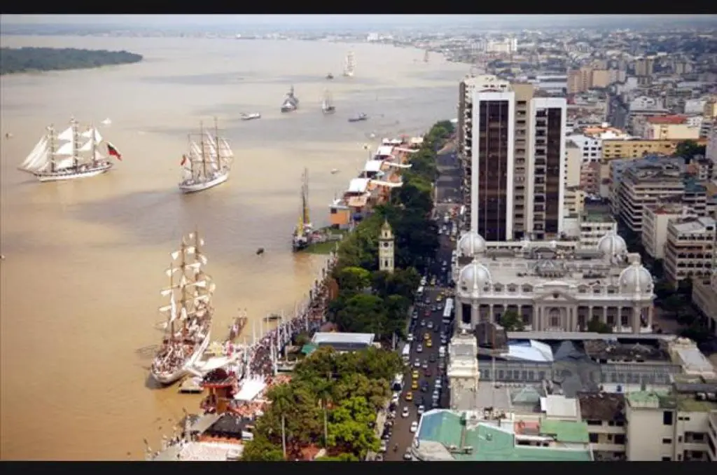
This beautiful and fertile river is located in front of the city of Guayaquil, officially called Santiago de Guayaquil, which is the main port of Ecuador and the largest and most populated city in this South American country.
Features of the Guayas River
The Guayas River is formed by the confluence of the Daule and Babahoyo Rivers, which are its main tributaries (see also Piura River).
These rivers, in turn, receive the waters of the Vinces, Puebloviejo, Zapota and Yaguachi Rivers, forming the most dense chain of rivers on the Ecuadorian coast, and also the most useful from a navigational point of view.
The Guayas River basin covers an area of approximately 53,299 square kilometres and is a potential jewel for Ecuador, as it is home to a large number of very diverse species of flora and fauna and provides valuable forest resources for commercial use, such as timber, which is renowned for its export quality.
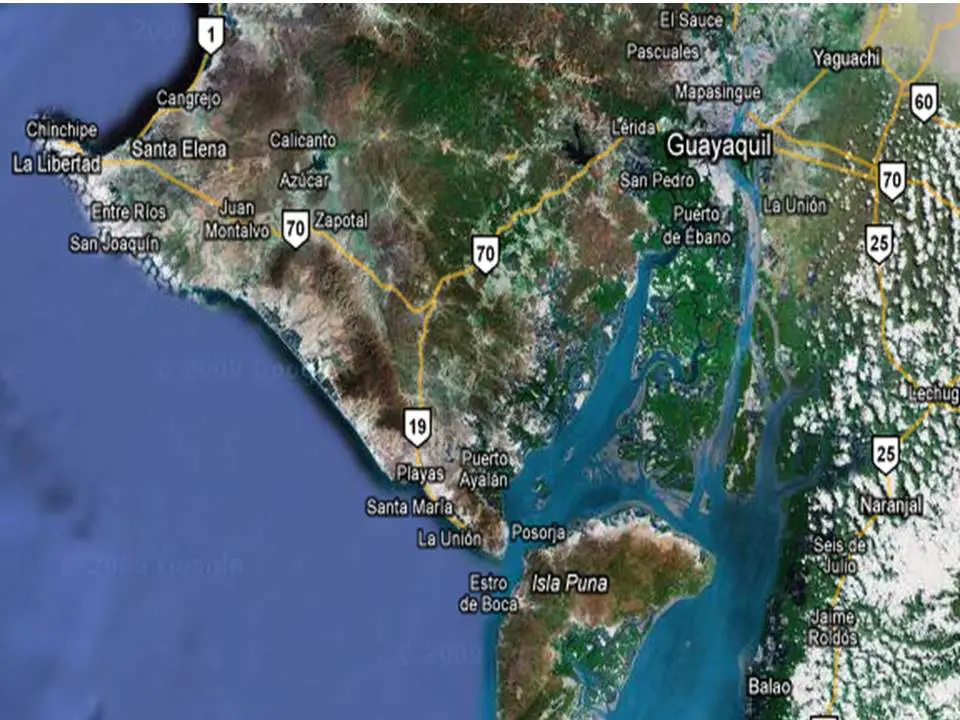
It flows into the Pacific Ocean (see Naya River), where it empties into an estuary on the eastern side of the region and joins the Estero Salado to form the so-called Gulf of Guayaquil.
At this estuary, an interesting phenomenon occurs that makes it possible to see the waters of the Guayas River flowing in two directions, one towards the Gulf of Guayaquil and the Pacific Ocean, and the other in the opposite direction, with sea currents entering the Gulf and arriving within Ecuadorian territory.
This effect can easily be seen in the city of Durán and on the Malecón in Guayaquil, which tend to be the main tourist attractions.
This combination of fresh and salt water in the Guayas riverbed is due to the diverse ecological environments that develop in the municipalities of Pichincha, Azuay, Santo Domingo de los Tsáchilas, Cañar, Manabí, Los Ríos and Cotopaxi.
Together, they produce an average of 30 billion cubic metres of water a year and, in forming the beautiful estuary of the Gulf of Guayaquil, they are bordered by 14 islands: the well-known Santa Ana, Santay, La Esperanza, Ingleses, La Caja, Bellavista, Verde, La Seca, Quiñones, Matorrilos, Escalante, Puná, Manglecitos and Mondragón.
Production in the Guayas River
The Guayas River basin and its economic production extend far beyond its banks, benefiting at least 9 provinces, mainly Manabí, Los Ríos, Santo Domingo and Guayas.
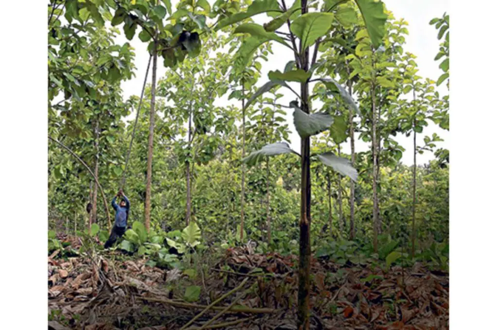
The soils of this basin are very fertile, which allows the development of a good agricultural and forestry production, where bananas, cocoa, sugar cane, fruit, cotton and rice are grown (see also Chama River).
Ecuador is the world’s largest producer of balsa wood, most of which is harvested in the Guayas River forest, which covers an area of approximately 6,000 square kilometres.
The Gulf of Guayaquil and its mangroves contain a variety of ecological riches that make life possible in different habitats within several reserves and parks, such as the famous Santay Island National Recreation Area and the Gallo, the Manglares El Monroy Wildlife Refuge, the Manglares del Salado Wildlife Production Reserve and the Manglares Churute Ecological Reserve.
Its fauna includes the red crab, the symbol of Guayaquil, as well as mammals, amphibians, molluscs, crustaceans, birds and reptiles.
In the waters of the Guayas River you can fish for catfish, mullet and corvina, among other species. The bottlenose dolphin, or Tursiops truncatus, also stands out (see also Caroní River).

Fishermen, boatmen, crabbers, shellfish collectors, farmers and locals add to the picturesque and very welcoming atmosphere of the Guayas River area. They have lived there for centuries, caring for their environment as a means of subsistence.
Tourists also share their treasures and belongings with the people of Guayaquil and the surrounding area.
Guayas River Bridge
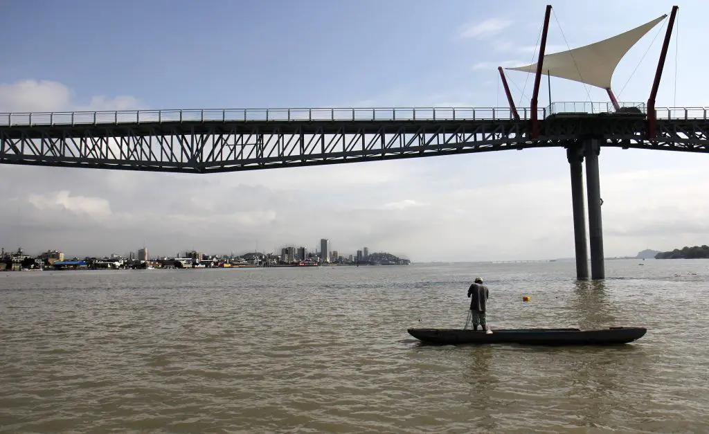
The Guayas River connects the population of Guayaquil to Samborondón and Eloy Alfaro through a series of roads called the National Unity Bridge, which consists of four bridges, two over the Daule River and two over the Babahoyo River, as well as a road that connects them to La Puntilla, and was inaugurated in 1970.
Later, in 2006, a third bridge was inaugurated and, to continue the expansion, a fourth bridge was recently installed during the government of Rafael Correa.