
The Chira River is located in northern Peru, with its mouth 100 km northwest of the provincial capital of Piura and 25 km north of the port of Paita. Its source is in the Ecuadorian Andes, near the town of Papaca, in the province of Loja.
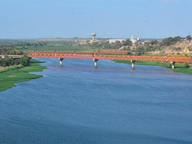
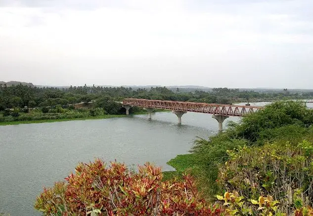
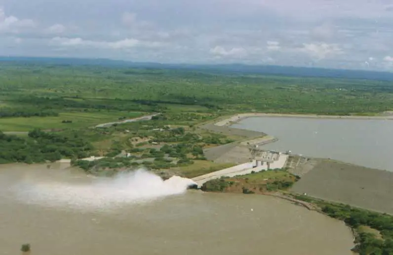
The river flows westwards for about 250 km. After crossing the border into Peru, it is dammed in the 885 million cubic metre Poechos reservoir and then passes through the town of Sullana (see article: San Miguel River).
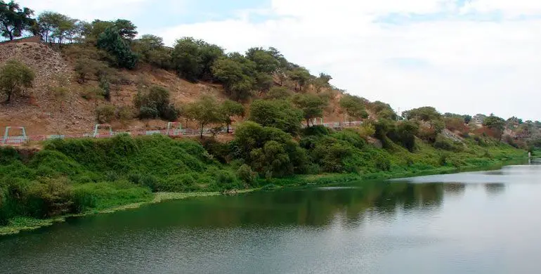
Characteristics of the Chira
The area of the River Chira has many climatic variations due to its geographical location. It is only 4 degrees south of the equator, but receives two ocean currents at the same time: the cold Humboldt current (13-20°C 55-68°F) and the warm El Niño current (20-27°C 68-80°F). This makes the river a land that is both tropical and arid, the land where the tropics meet the desert.
The coast is divided by the subtropical Peruvian desert of Sechura in the south and the savannah-like dry forests of Tumbes-Piura in the centre and north of the region. There are also small valleys with a tropical climate where rice and coconut plantations are common, especially around the Piura and Sullana rivers.
There is a high Amazonian climate (high jungle) as you move from the coast towards the highlands, and a paramo climate and cooler temperatures as you move up the sierra. The topography is smooth on the coast and rugged in the sierras. There are many arid plains in the southern region (see article: Zamora River).
The Sechura Desert, south of the Chira River, is Peru’s largest desert and one of the few examples of a tropical desert in the world; it borders tropical terrain to the north. The Bayovar depression, the lowest point in Peru and in the southern tropics, is located in this desert.
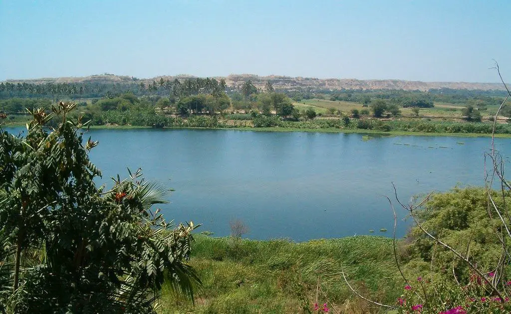
The most common morphological formations on the coast are the dry gullies, which suddenly become abundant during heavy rains, creating tropical dry forests everywhere. Other features include crescent-shaped dunes and marine terraces such as those at Mancora, Talara and Lobitos. The valleys are formed by the river terraces of the Chira River.
The rivers that cross its territory belong to both the Pacific and Amazon basins. The Chira River is the most important and flows into the Pacific Ocean. The Río Piura also flows into the Pacific, although its flow varies greatly with the seasons, drying up during severe droughts (see article on the Río Guáitara).
Climate of the Chira River
Rainfall is scarce from May to November: it only rains intermittently from December to April due to the influence of the El Niño current, but from time to time, when the El Niño phenomenon arrives, the rainfall is abundant and brings life to the dry ravines, giving rise not only to the impressive forests, but also to many floods and large landslides.
El Niño occurs when ocean temperatures reach 27°C (80°F). If the ocean water temperature rises 1 to 1.5 degrees Celsius above 26°C (79°F), catastrophic rainfall can occur.
Although ocean temperatures can drop to 19°C (66°F) during the dry winter months (May to October), they can also rise to 27°C (80°F) during the wet summer months (December to April); this requires good rainfall, but if temperatures rise 1 or 1.5°C above this, El Niño is assured (see article: Eno River).
During the summer (December to April), temperatures can reach over 40°C in the interior. At night, highs of 20 or even 30°C can be uncomfortable and people go to the river to cool off. The rest of the year has pleasant summer temperatures in the low 30s and mid 20s.
Pollution of the Chira River
Discharges of sewage and other waste into the Chira River in Peru’s capital Lima have caused high levels of pollution, according to the environmental health service Digesa, reports El Comercio (Peru).
 The river receives 80% of the wastewater from the surrounding areas, while only 20% ends up in oxidation ponds for treatment, according to study director Luis Valdiviezo Córdova. The water contains more than 24,000 faecal chloroforms per metre. The recommended limit is 5,000 per cubic metre,” says Valdiviezo.