
Brave River or Brave River of the North, the fifth longest river in North America and the twentieth longest in the world, forms the border between the state of Texas and Mexico. It rises as a clear mountain stream more than 12,000 feet (3,700 metres) above sea level between the mountains.
The Rio Bravo flows through steppes and deserts, irrigating rich agricultural regions as it empties into the Gulf of Mexico. The total length of the river is approximately 1,900 miles (3,060 km).
Exploration
In fact, the Rio Bravo basin was explored before mining and agricultural settlement, which occurred sporadically from the late 16th to the 18th centuries. The first settlements were mining communities in the upper Conchos drainage in 1563.
In between was the settlement of the upper Rio Grande area of New Mexico in 1598, and the last settlement along the Rio Grande began in 1749. With the Mexican explorations of Juan Bautista de Anza in the San Luis de Colorado Valley in 1779 (see article: Rio Balsas).
The exploration of the entire Rio Bravo basin was completed. Most of the complete exploration reports and resulting maps remained unpublished in the various Spanish government archives.
American and European historians have tended to emphasise later non-Spanish explorations, such as those of the Americans Zebulon M. Pike in 1807 and John C. Frémont in 1848-49 in the upper Rio Grande area.

Boundary demarcation
Careful scientific study of the river, accompanied by good cartography, did not begin until the first of the international boundary commissions began field work in 1853, led by a Mexican commissioner and surveyor and their counterparts representing the United States.
From the 1850s until 1874, when a great hurricane swept the river clean of all man-made structures, small steamboats navigated the lower Rio Bravo upriver to Rio Grande City and even to Rome when the river was high.
Since then, accelerated erosion, siltation and sandbar formation have hampered navigation and forced the United States and Mexico to spend a great deal of money and time adjusting the international boundary to the numerous changes in the river’s channel, as is the case with the Colorado River.
In October 1967, the United States formally returned to Mexico the area of El Chamizal, between El Paso and Juarez, which had been moved to the left (north) bank of the river by a shift in the river in 1864.
Urban communities include Monterrey, Juárez, Chihuahua, Saltillo, Matamoros, Guadalupe, Nuevo Laredo, Reynosa, and San Nicolás de los Garzas in Mexico; Albuquerque and Las Cruces in New Mexico; and El Paso, Laredo, and Brownsville in Texas.
The Rio Bravo of the United States and Mexico
From its headwaters in the San Juan Mountains of southwestern Colorado, the Rio Grande flows southeast and south for 175 miles (280 km) in Colorado, south for about 470 miles (760 km) in New Mexico, and southeast for about 1,240 miles (2,000 km) between Texas and the Mexican states of Chihuahua, Coahuila, Nuevo Leon, and Tamaulipas to the Gulf of Mexico.
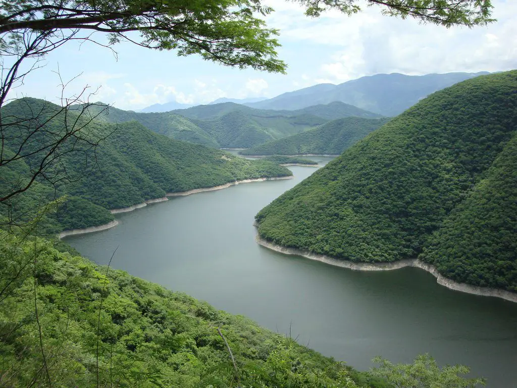
Its early course follows a canyon through the spruce and aspen forests of the broad San Luis Valley in Colorado, then cuts through the Rio Grande Gorge and White Rock Canyon in northern New Mexico and enters the open terrain of the Basin and Range physiographic provinces of the Mexican Plateau.
Characteristics of the Rio Bravo
The total area of the Rio Bravo watershed is approximately 336,000 square miles (870,000 square km). Much of the basin is arid or semi-arid desert, like the Colorado River (see article: Mekong River).
The climate
There, decreasing elevation, decreasing latitude, and increasing aridity and temperature cause a transition from a cold steppe climate with pinyon pine, juniper, and sagebrush vegetation to a warm steppe and desert climate.
Flora
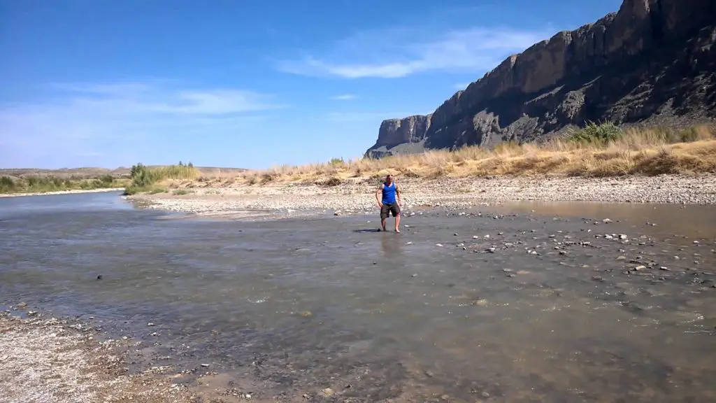
Characterised by mesquite, creosote bush, cactus, yucca and other desert plants. Just before entering the Gulf Coastal Plain, the Rio Bravo cuts three canyons between 1,500 and 1,700 feet (460 and 520 metres) deep through the fault zone occupied by the “Big Bend”, where the Texas side of the river forms Big Bend National Park.
Rio Bravo economy
Excluding the irrigated areas above the reservoirs, the river provides water for about 2,100,000 hectares (850,000 acres) of cropland; slightly more than half of the irrigated land is in Mexico.
The main crops are irrigated. They range from potatoes and alfalfa in Colorado, to cotton, pecans and grapes in southern New Mexico, the El Paso-Juarez region of Texas and the Rio Bravo region of Mexico, and citrus, cotton and vegetables in the lower Rio Grande delta valley of Texas and Tamaulipas.
After agriculture and livestock, the major industries in the Rio Grande region are mining (oil, natural gas, coal, uranium ore, silver, lead, gold, potash and gypsum) and recreation (national and state parks and monuments, tourist ranches, rafting, fishing and hunting, and summer and winter resorts), as well as the Rio San Lorenzo.
Here is a video showing the source of the Rio Bravo or Rio Bravo del Norte in its mountainous part.