Perhaps one of the most important rivers in Chile, due to its geographical location and economic influence, is the Biobío. Its name comes from the Mapuche language vuu or viu and means ‘double thread’ or ‘cord’. It is also called Rio Grande and Ribimbi or Tuihui by the indigenous people.
Indice De Contenido
Location and map
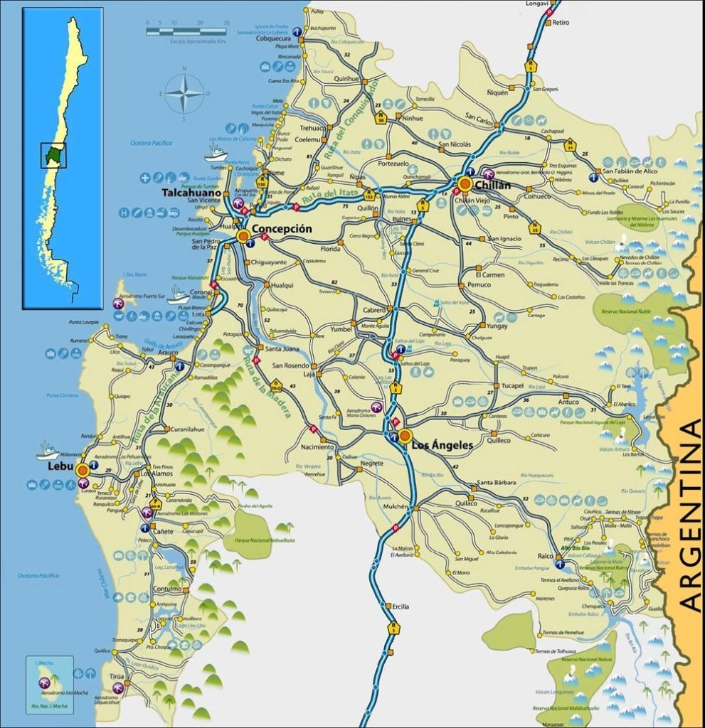
It is located in Chile, in the VIII Region. It is the second in extension and the first riverbed in importance of the third hydrographic basin of the country. It is also the widest and among its tributaries are the Laja River and the Malleco River (see: Tolten River).
Origin and history
It rises in the Andes, near the border with Argentina, in the Galletué lagoon, in the IX region. From there it flows through the central valley of the Biobío region to the city of Concepción, south of the Hualpén hills. In its middle course it is fed by the Duqueco and Boreo rivers, and on the coast it receives the waters of the Laja, its largest tributary (see: Manu River).
Bridges over the Biobío
Four bridges cross the 380 km long Biobío River: Puente Ferroviario Biobío, Puente Juan Pablo II, Llacolén and Puente Chacabuco. From 1942 to 2010 there was also the Puente Viejo, which was demolished due to the severe damage caused by the earthquake of 27 February of that year.
Historical data on the Biobío River
When the conquistador Pedro de Valdivia arrived in Biobío, he founded cities and fortresses all over the river basin. Among them were the towns of Concepción and Los Confines, where he settled to continue his conquest of the southern region. This river was the border between the Spanish and the Araucanians for 300 years. It was the border between the Mapuche and Picunche tribes.
Battle of Curalaba
In 1598, in the Battle or Disaster of Curalaba, the Spanish suffered a serious and crushing defeat at the hands of the Mapuche. This led to the Mapuche uprising of 1598 and forced the Spanish to abandon their ambitions to conquer Mapuche territory (see: Petrohue River).
Flora and fauna of the Biobío River
The Biobío River basin covers an area of 24262 square kilometres, full of vegetation and colourful landscapes thanks to its climate and the variety of species present.
Flora
From the coast to the interior you can see chaguals, docas, ferns, mutilla and culén. Among the species native to the area are oaks, boldos, hazelnut trees and laurels. If you are lucky, you can find the copihue between the towns of Canelos and Arrayanes. In the higher areas you can find alerce and mañio.
The fauna
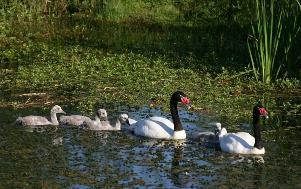
Where there is rich vegetation, there is also an abundance of diverse and endemic animals, such as the chingue, the culpeo fox and many rodents. The humid forests are home to pumas, guiñas, viscachas and grey foxes, among others. Ducks, birds of prey and owls are concentrated on the river banks, among which the Correntino duck, the black-necked swan and the condor stand out.
Pollution in the Biobío River
The region is predominantly agricultural and industrial. Forestry plays an important role, but it has had serious consequences for the river’s waters, causing high levels of pollution from the discharge of cellulose processing waste into the river.
Hydroelectric power stations
It should be noted that this river fulfils its function of generating electricity through the Ralco, Palmucho, Pangue and Central Hidroeléctrica Angostura hydroelectric plants.
Fishing and other activities in the River Biobío
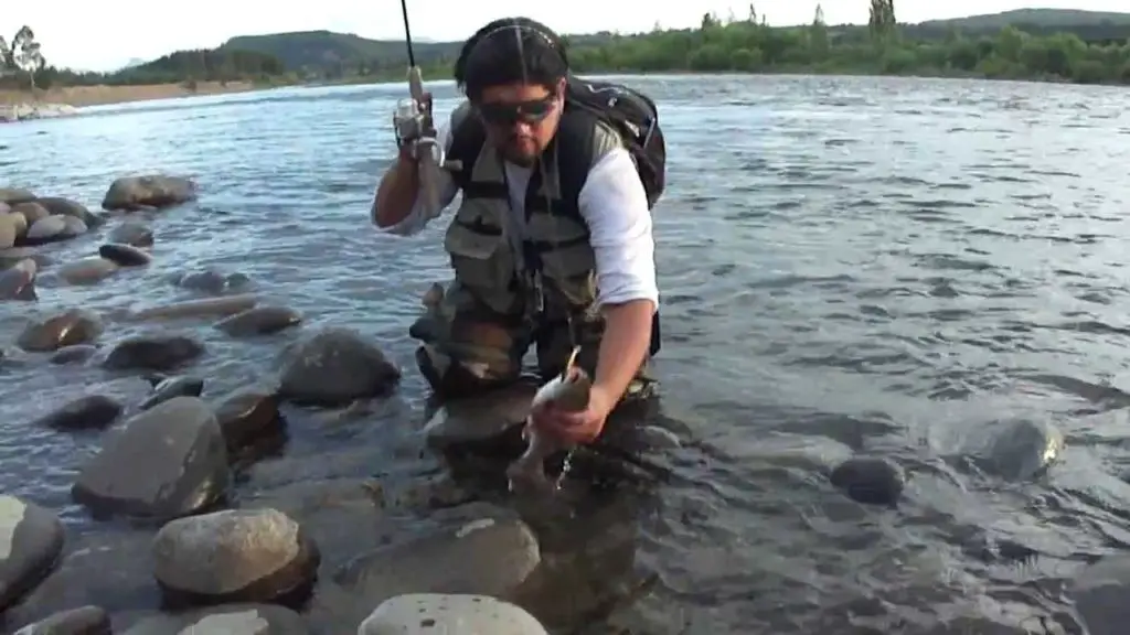
The Biobío is an attractive water for sport and commercial fishing, with rainbow trout, perch, carp and silver bream, especially in the Laguna Grande, near the town of Concepción. You can use fly fishing or trolling techniques (see: Chimehuin River).
Other activities
Rafting and kayaking enthusiasts have the opportunity to practice their favourite sports in the upper Biobío River. Sports tourists from Germany and the United States are frequent visitors.
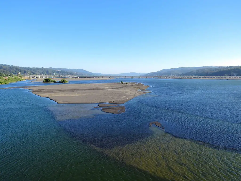
The high concentration of sand and the shallowness of its waters prevent the Biobío from being navigable. There is a project to make the Biobío River navigable, in which various ideas have been proposed, such as canalising it or, more daringly, using an air-powered boat, a hovercraft.
The most viable proposal was made by José Léniz, a professional photographer specialising in aerial photography, who drew up a route using data obtained from an aerial survey of the river, highlighting the areas with the greatest depth that would allow navigation. He proposed the construction of a boat to be submerged 35 centimetres under water, using the paddle-wheel technique similar to that used on the Mississippi.


