
In 1998, during El Niño, the Zarumilla River changed its course, moving 1 square kilometre of land on its eastern bank. The Ecuadorians took advantage of this situation, saying that the river is the natural boundary of the border and therefore gives them rights in the affected area. The Peruvians argued that the area is sovereign Peruvian territory.
Indice De Contenido
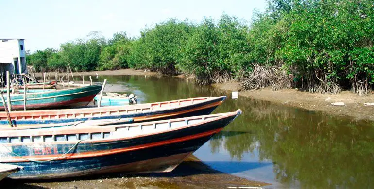
Features of the Zarumilla River
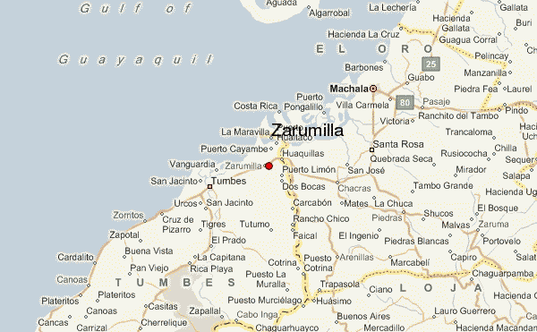
The town of Zarumilla is one of three towns in the Tumbes region of northwestern Peru. It borders the Pacific Ocean to the north, Ecuador to the south and east, and the city of Tumbes to the west. Its capital is the town of Zarumilla. Other important settlements include Matapalo and the border town of Aguas Verdes, which is linked to Ecuador by a bridge.
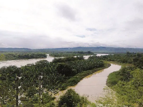
Zarumilla was created as a province on 17 November 1942. The Zarumilla River, in the eastern part of the province, marks the border between Peru and Ecuador. In 1998, during El Niño, the river changed course and shifted 1 square kilometre (250 acres) of land on its eastern bank (see article: Río reno).
The Ecuadorians took advantage of the situation, claiming that the river was the natural border and therefore gave them rights in the affected area. The Peruvians argued that the area was sovereign Peruvian territory.
Location of the Zarumilla River
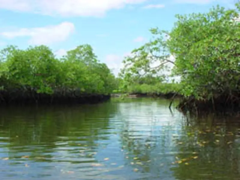
The Zarumilla River is a river in South America that marks the border between Peru and Ecuador. It is named after the Peruvian city of Zarumilla. It is part of the Guayaquil-Tumbes Gulf Sanctuary and its currents, sediments and tides strongly influence the geomorphology of the area. It flows into the Gulf of Guayaquil.
The largest towns on its banks are Huaquillas, in the Ecuadorian province of El Oro, and Aguas Verdes, in the Tumbes region of Peru; both towns are linked by an international bridge. The water flows through a canal as the river passes through these populated areas. Pollution is a problem in this part of the river as people from both countries dump their waste into the canal.
Seal in the Zarumilla River
The presence of a seal in the Zarumilla River, just 100 metres from the Bolsico Bridge in the Aguas Verdes district, attracted the attention of adults and children alike, who did not hesitate to go to the area to meet this marine mammal that provides direct assistance (see article: Rio Toa).
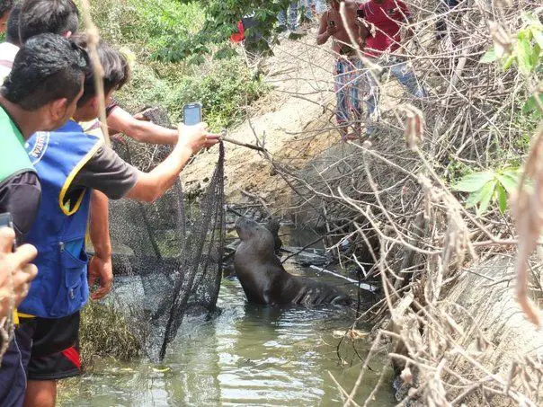
Its appearance in the limited waters of the river is unknown, but the villagers believe that the animal strayed from the area of the Mar Bendito, where it separated from its group and disappeared into the Zarumilla River.
Workers from the Regional Production and the Aguas Verdes Police Station arrived on the scene to secure the mammal and, with the help of the villagers, were able to capture it after a difficult attempt before it was returned to its habitat. The seal is approximately 1 metre long and weighs around 100 kilos (see Rio Cauto article).
Zarumilla River Project
A group of experts from Peru and Ecuador met in the Peruvian coastal city of Tumbes to discuss the creation of a binational committee to oversee the Zarumilla River basin.
The committee will be responsible for promoting, drafting and approving the necessary measures to regulate water resources in the binational river basin. The body will also formulate guidelines and projects to conserve the basin, Peru’s national water authority, ANA, said in a statement.
The committee will be made up of government officials from both countries. From Peru, participants will include officials from the ANA, the Ministry of Foreign Affairs, the Ministry of Agriculture, the Ministry of Environment, the regional government of Tumbes and others (see article: Mataje River).
Ecuadorian members will include officials from the National Water Authority, Senagua, the Department of Planning and Development (Senplades), the Ministry of Environment and the Provincial Government of El Oro, among others. The Zarumilla River basin covers 900 km2 and lies between the province of El Oro in Uruguay and the northwestern region of Tumbes in Peru.
The project is located in northern Peru, close to the Ecuadorian border, in the district of Tumbes, approximately 1,320 km from the capital, Lima. The works include the construction of embankments to protect agricultural land, residential areas and communications along the Zarumilla River.
The slopes facing the river are protected by concrete-filled geocells, while the most critical areas are protected by cut slopes (breakwaters) made of stone-filled gabion mesh. Several irrigation structures have also been built.