The River Weser, the main river in western Germany, is a major artery for Bremerhaven and Bremen. Read on to find out more.
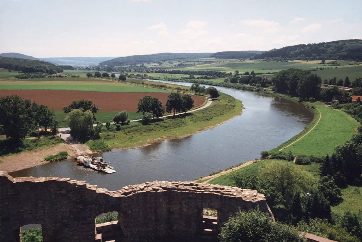
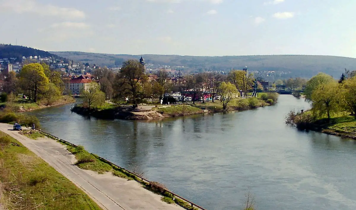
The Weser, like the Neckar, meanders through the Saxon countryside, where riverside meadows, unspoilt villages, Renaissance palaces and medieval castle ruins give the impression of a land forgotten by time.
At the end of the 16th century, however, the Weser valley was immensely rich thanks to its grain production, as evidenced by some of the merchants’ houses of the period.
Indice De Contenido
Map and geography of the Weser
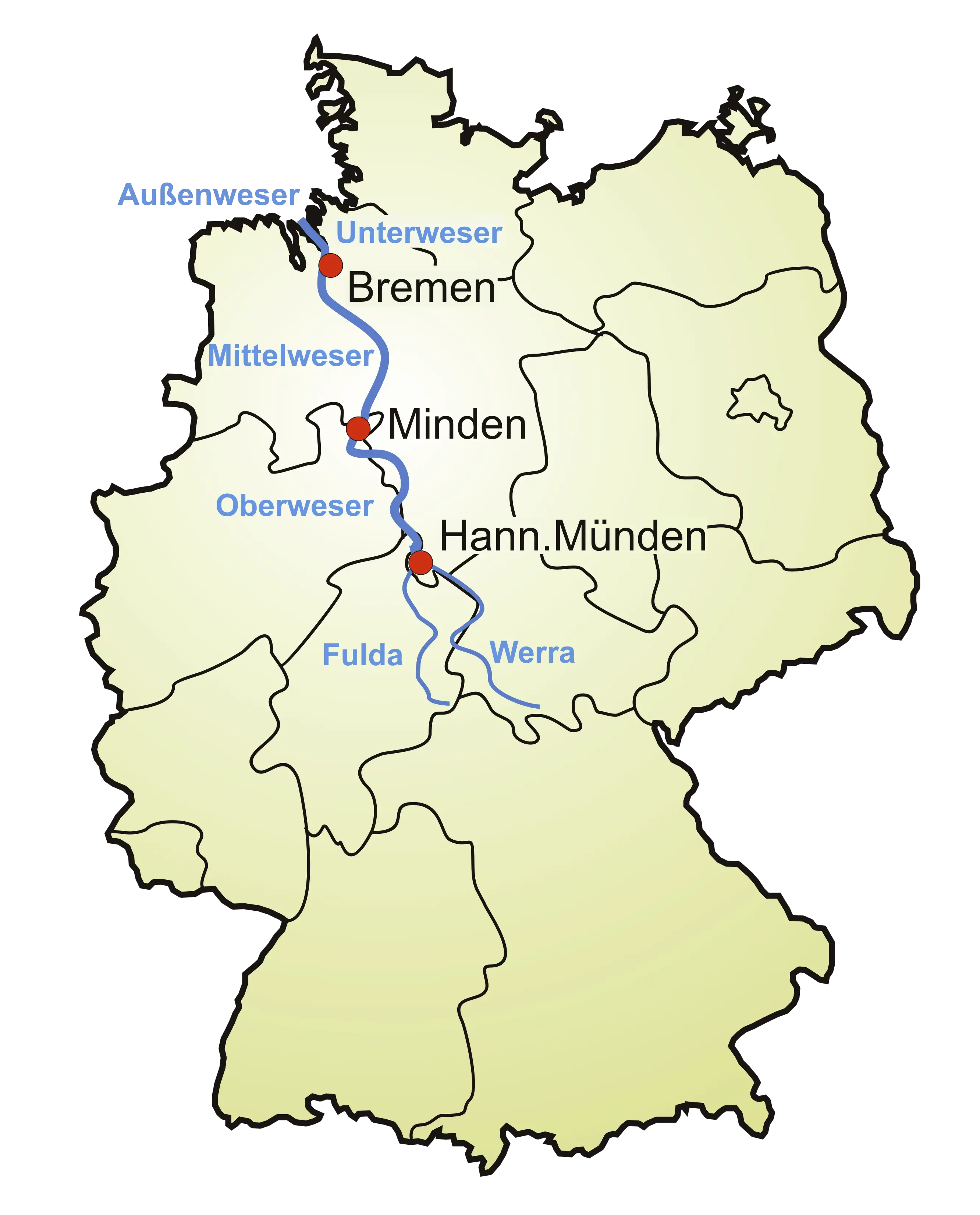
The Weser River is formed near the town of Münden by the confluence of two main rivers: the Fulda and the Werra. The Weser flows 273 miles (440 km) northwards through northern Germany to the North Sea. The main tributaries of the Weser are the Aller, Lesum, Geeste, Diemel, Ochtum and Hunte.
On the opposite (west) bank is the town of Nordenham, at the foot of the Butjadingen peninsula, so the river’s mouth is in Lower Saxony. The Weser has a total length of 452 km (281 miles). Together with its tributary the Werra, which rises in Thuringia, its length is 744 km (462 miles).
The Weser is the longest river to reach the sea and, like the Rhine, is entirely within Germany.
The upper part of its course runs through a mountainous region called the Weserbergland. It runs from the confluence of the Fulda and Werra rivers to Porta Westfalica, where it crosses a gorge between two mountain ranges, the Wiehengebirge to the west and the Weserbergland to the east.
Between Minden and the North Sea, man has largely canalised the river, so that ships weighing up to 1,200 tonnes can navigate it. There are eight hydroelectric dams along its length. It is linked to the Dortmund-Ems Canal by the Coastal Canal and to the River Elbe by another canal at Bremerhaven.
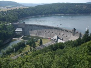
A large reservoir on the River Eder, the main tributary of the River Fulda, is used to regulate the water level in the River Weser to ensure sufficient depth for year-round navigation.
Built in 1914, the dam was bombed and severely damaged by British aircraft in May 1943, causing massive destruction and about 70 deaths downstream, but was rebuilt within four months. From 2013, the Edersee reservoir, a major summer resort, will provide significant hydroelectric power.
The River Weser, like the River Thames, flows into the North Sea at the southernmost part of the German Bight. In the North Sea it divides into two arms representing the former river bed at the end of the last Ice Age.
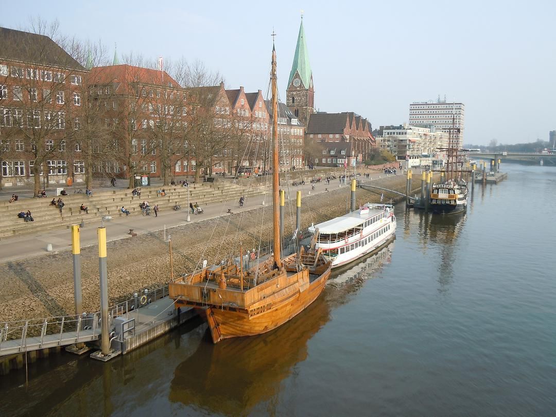
These sea arms are called the Old Weser and the New Weser. They represent the main waterways for ships heading for the ports of Bremerhaven, Nordenham and Bremen. The Old Weser Lighthouse marks the northernmost point of the River Weser. This lighthouse replaced the historic and famous lighthouse
by Roter Sand in 1964.
Experience the calm waters of the Weser in this video:
Etymology of the name Weser
Linguistically, the names of the two rivers, Weser and Werra, can be traced back to the same source, the difference being caused by the former linguistic border between Upper and Lower German, which touched the region of Hannoversch Münden.
The name Weser parallels the names of other rivers, such as the Wear in England and the Vistula in Poland, all of which ultimately derive from the root * weis- “to flow”, giving the Old English/Old Frisian wāse “mud”. It is also derived from Old Norse “exudate”, Old Norse “slime”, “stagnant pond”, Dutch “mist”, mist; “damp earth”, Old Norse “waso”, wet ground, “mud”, Old High German “rain”, and Old French “devaso, mud”.
See what the Weser looks like at night in this video:
Sailing on the River Weser
The Weser would be a very attractive destination for boaters, but unfortunately there is no infrastructure along the water.
Not even large towns such as Hameln, Höxter or Bad Karlshaven have quays. This is in stark contrast to the Oder, which is perfectly navigable.
In the case of Bad Karlshaven (where the construction of the Karls Canal began in Kassel in 1700 but was never completed), this is particularly annoying, as the town has had a large harbour connected to the Weser by a closed canal for almost 300 years, but is not allowed to use it.
Nowadays the upper Weser is mainly used by waders and has a small fleet of excursion boats.
In this last video you can see a section of the Weser that is navigable for small boats:
https://www.youtube.com/watch?v=d53vh1xSCEY

