
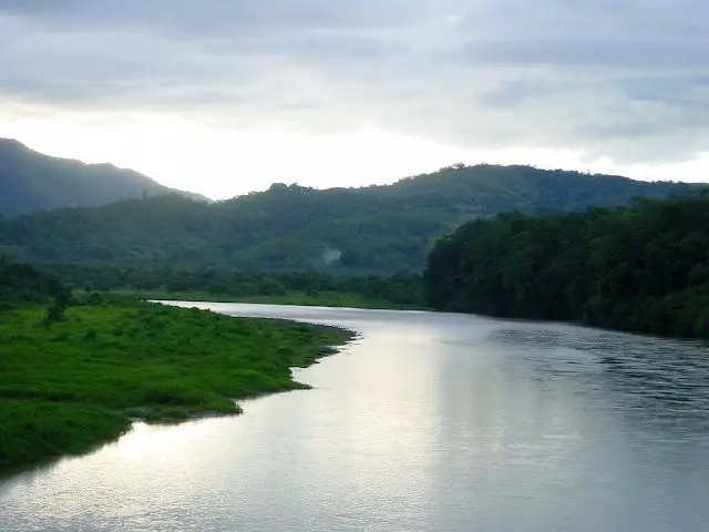
Located in the southern region of Brunca, Costa Rica, the Terraba River is the largest river in the country. The indigenous Boruca language is Diquís, which means ‘great river’. Its basin covers 5,085 square kilometres and is 160 kilometres long, covering ten per cent of the country.
Indice De Contenido
Térraba history
The Térraba are a warrior people who trace their roots back to the pre-Columbian Chiriquí civilisation that dominated Costa Rica. When the Spanish conquistadors arrived in the early 16th century, they found Costa Rica to be a harsh land with few resources to exploit. Compared to other pre-colonial civilisations, there were few indigenous people to work with (see article: Nelson River).
The Spanish brought Catholicism and smallpox, and many tribes did not survive either. Despite the Spanish influence, the Térraba can trace their history back to specific events in the 17th century.
Despite Spanish occupation and Catholic influence, the Térraba were able to maintain their culture, traditions and language. They have recorded an extensive oral history to preserve it for future generations.
The civilisation of Chiriqui dates back 10,000 years, with evidence of caves, rock shelters and fixed camps corresponding to hunter-gatherer groups. Social and cultural development began then and reached its peak in 600 AD until the arrival of the Spanish in the early 16th century (see article: Río de la Paz).
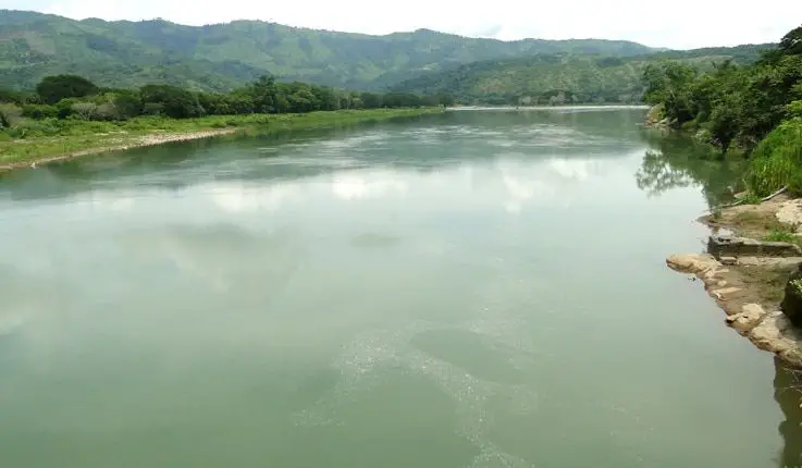
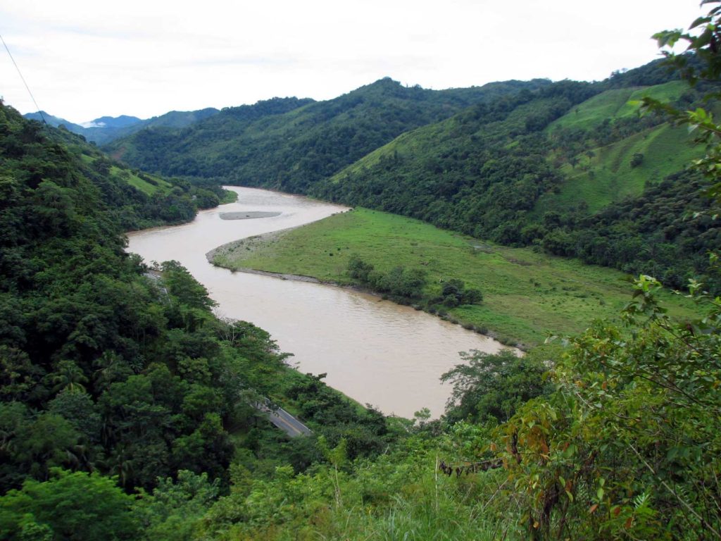
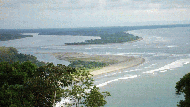
Térraba River Basin
It is a tributary of the General River and the Coto Brus River. Pineapple plantations occupy 10,815 hectares in the basin, representing 21% of national production. Mangrove cockles (Anadara tuberculosa and Anadara similis), known locally as piangua, are harvested from the mangroves and mud at the mouth of the Rio Grande de Térraba. The proposed Diquís hydroelectric project is expected to cover 6,000 hectares and will require the relocation of 1,100 people.
The site is entirely state-owned and managed by the Ministry of Environment and Energy. The wetland reserve is a bird and nature tourist attraction and is an important habitat for many species of birds, fish (55 species), shellfish (10 commercially exploited species), mammals and reptiles.
Resident and migratory bird species commonly found in the Terraba River include herons, egrets, herons, cotingas and Pandion haliaetus. Common mammals include Agouti paca and Lutra annectens; and reptiles include Caiman crocodilus, Crocodylus acutus and tree boas. Many of these species depend on this ecosystem for their entire life cycle; reproduction, growth and feeding.
Terraba River Ecosystem
The Terraba River Wetland is characterised by a forested ecosystem with periodically flooded swamps and mangroves, palm swamp forests, sandy beaches and cliffs that cover the mouths of the Terraba and Sierpe rivers and the adjacent Sierpe and Porvenir lagoons (see Fraser River article).

The Terraba River is the main source of fresh water in the estuary system, draining a watershed of about 5,000 square kilometres. Its main tributary is the General River with its tributaries. The Sierpe River, which forms the boundary of the mangrove forest, also has tributaries and streams.
The mangrove vegetation of the Terraba River plays a fundamental role in protecting against erosion, both run-off and wind erosion, and in maintaining water quality. Rainwater and run-off are stored in the wetland. Terraba and its area of influence are geologically formed by materials from the Cretaceous, Tertiary and Quaternary periods.
The materials are of volcanic, erosional or alluvial origin. Most of the soils on the site have a high water content, variable salinity and low oxygen content. These soils are semi-fluid, poorly consolidated, grey or black in colour, reflecting a high sulphate content.
The alluvial soils, with good to poor drainage, are derived from volcanic sediments and ash. The site is periodically flooded by the tides, which transport fine silt rich in organic matter. The average total tidal range is about 2 metres. The climate is very hot and humid, with abundant rainfall from May to November. The average annual rainfall is 3,638 mm (see article: Rio Sapo).
Economy of the Terraba River
Within the mangroves of the Terraba River, products are extracted by organised groups, families and individuals. The main income-generating activity in the area is the harvesting of the Anadara tuberculosa shell, commonly known as “piangua”.
Small-scale artisanal fishing is also allowed in the Terraba estuary. The “pianguas” and mangrove bark – Rhizophora harrisonnii – found here have been harvested by the indigenous Terraba people for about 1200 years.
The wetland is also used by tour operators to promote the beautiful scenery, flora and fauna. Very few people live in the Terraba mangroves and the main human settlements are in the surrounding communities of Sierpe, Palmar and Cortes.