The Segundo River, also known as the Xanaes River, has its source in the foothills of the beautiful Achala Mountains, in the sierras of the province of Córdoba, Argentina.
Indice De Contenido
Features of the Segundo River
At about two thousand metres above sea level, between the confluence of several rivers in the middle of the Sierra Grande, this river begins its course to the south of America (see also Iguazú River), which also bears the name given to it by its indigenous inhabitants, Xanaes.
The word Xanaes comes from the indigenous ethnic group of the Comechingón, the Hênîa and the Kâmîare, who, before the Spanish conquest, inhabited the Pampean sierras of what are now the provinces of Córdoba and San Luis.
Although it is said that it could also be the result of occasional incursions by the Chanáes aborigines, who came to the river from the eastern side.
This aboriginal name, whose original pronunciation would have been similar to “Janaes” or “Shanaes”, was almost forgotten until the alternative form was used in the 1980s, but to this day the majority of the population still refers to it as Río Segundo.
In the Paravachasca Valley the rivers De la Suela, San José, San Pedro, Los Espinillos, Medio, Los Reartes, Los Molinos, Anizacate and Los Condoritos, which flows through the National Park of the same name, converge.
From there, the Segundo River is formed, practically from the confluence of the Los Molinos and the Anizacate Rivers, near the village of Despeñaderos, which become the main rivers of the upper basin of the Xanaes.
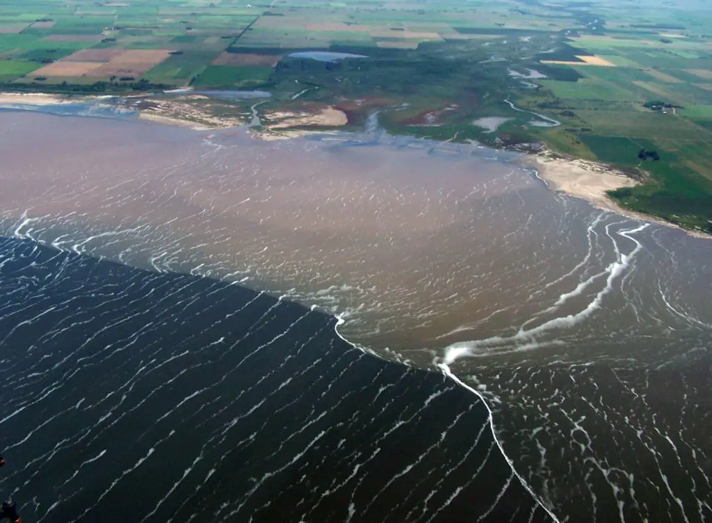
This basin is endorheic, which means that it has no outlet to the sea, but flows into the Mar Chiquita or Ansenuza lagoon, at an altitude of 68 metres above sea level.
The Segundo River has an approximate length of 340 kilometres, with an average flow of 14.5 cubic metres per second.
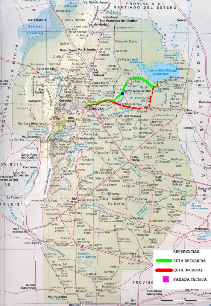
After passing through the town of Despeñaderos, the Segundo River leaves the mountain range and continues its journey across the vast and colourful Pampean plains, first in a west-east direction and then in a south-west-northeast direction, until it divides into two main branches, one of which, known as the Pujunta Canal, leads to the Mar Chiquita Lagoon, where it joins the Primero or Suquía River and the Dulce River to form the great endorheic basin of central Argentina.
During its long course, the Xanaes passes through several towns such as Río Segundo, Pilar, Costa Sacate, Rincón, Villa del Rosario, Tránsito, Arroyito, El Tío, Concepción del Tío, Marull, Balnearia and Altos de Chipión.
The waters of the Segundo River are used for human consumption, coffee processing, irrigation and electricity generation.
Map of the Segundo River
Climate of the Río Segundo
The artificial lakes created by the dams (see also Nazas River) contribute to the beauty of the mountainous landscape with their blue water mirrors, but at the same time they alter the original natural conditions of the region.
The evaporation of the lake water increases the humidity of the environment and changes the rainfall pattern.
This new situation makes large areas of previously barren land suitable for cultivation, allows the introduction of plant and tree species that did not previously exist in the area, and creates better living conditions for domestic and wild animals.
Tourism in the Segundo River
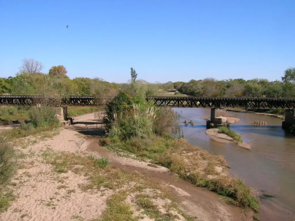
The Segundo River is surrounded by cultivated fields that form images of multiple tonalities and cattle passes that offer an excellent option for tourism in the region, with its rural and serene air.
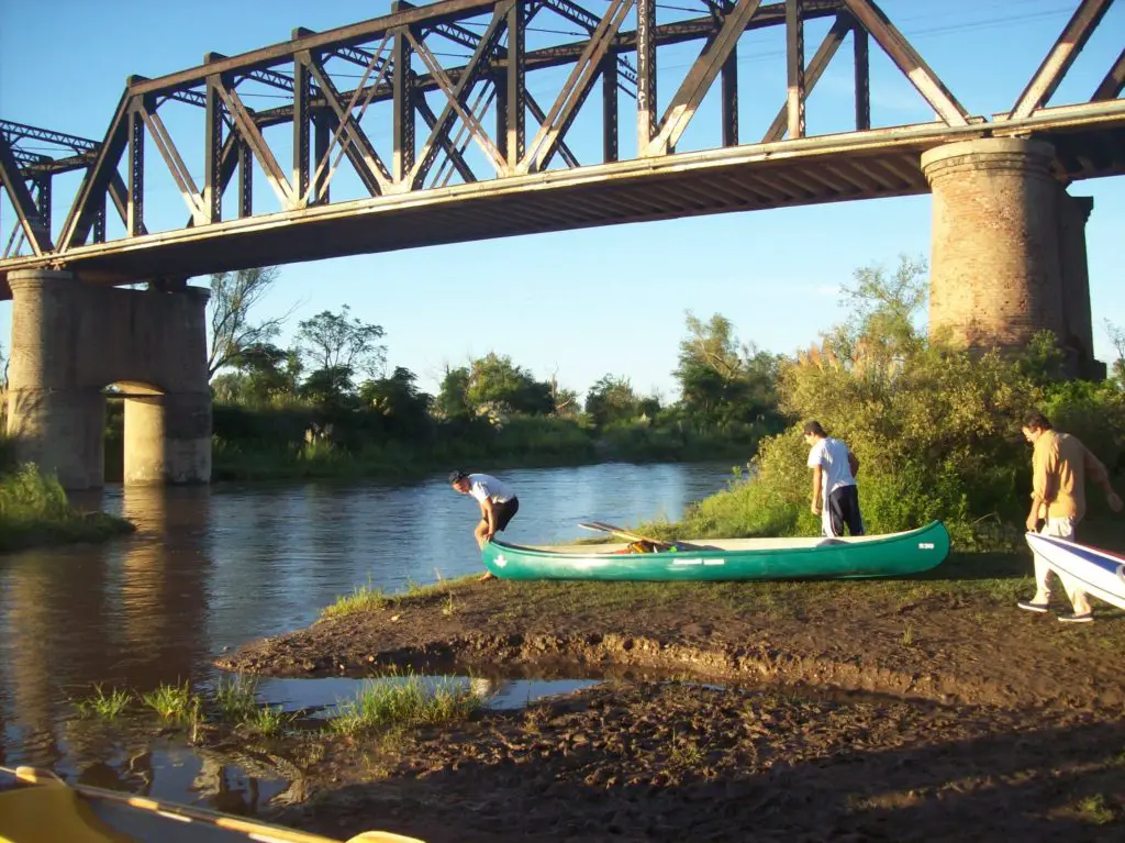
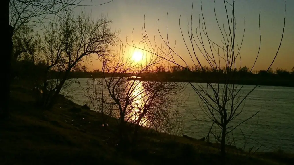
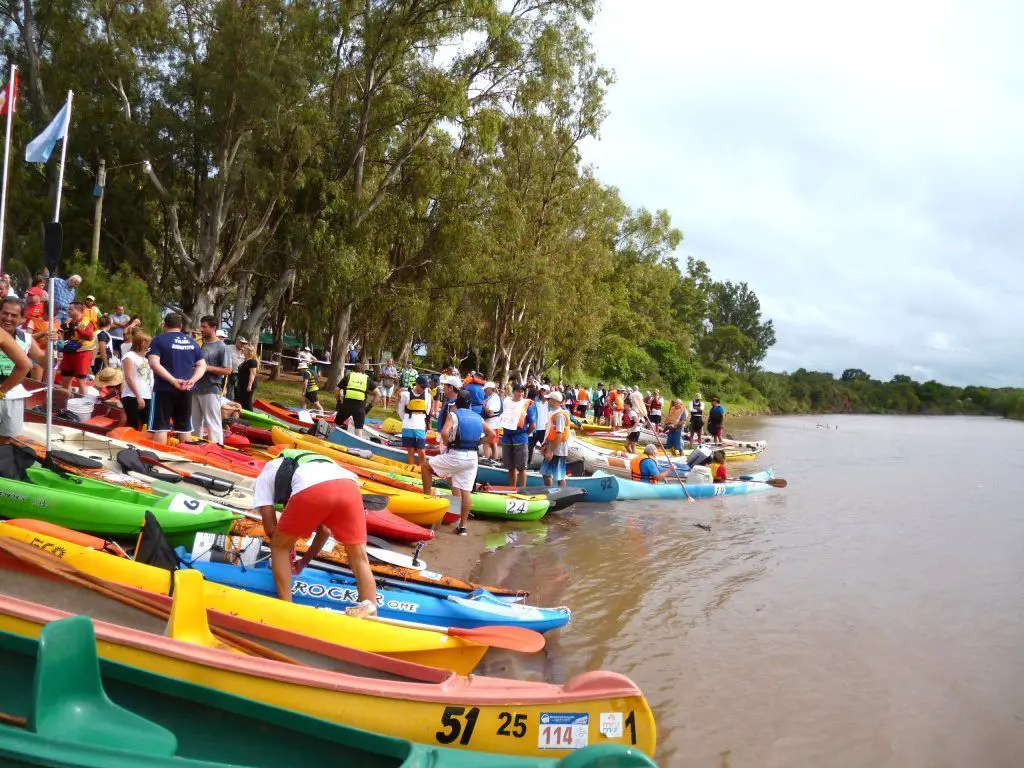
The rural culture of the area allows you to enjoy sunsets, walks, bicycle rides, canoeing and photographic safaris, which, together with the beauty of the landscapes, the great variety of fauna and flora present, provide enough for incredible sensations.
During the summer, the Segundo River is the protagonist, with beautiful beaches of calm waters and for its contribution to fishing, with very diverse species such as silversides, bogas, carps, mojarrones and tararira, among others.
On the other hand, there are the reservoirs, which, in addition to their primary purpose of supplying drinking water to the population, carrying out irrigation works to increase the cultivable area and generating electricity, have in recent years become a key factor in local tourism, since they can be used for bathing and nautical activities.
At the mouth of the River Segundo, the Mar Chiquita lagoon also offers health tourism activities that take advantage of the mineral properties of the water, such as fangotherapy, anti-stress walks and relaxing massages, making this lagoon a real “spa”.

