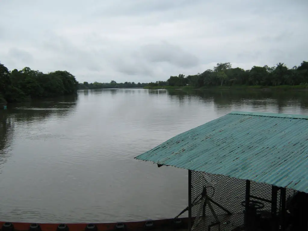
Discover the Mira River, a very important waterway, international in scope as it shares a natural border with Ecuador and Colombia, so important and emblematic that its name has been adopted by a musical group, Rio Mira Marimba del Pacifico.
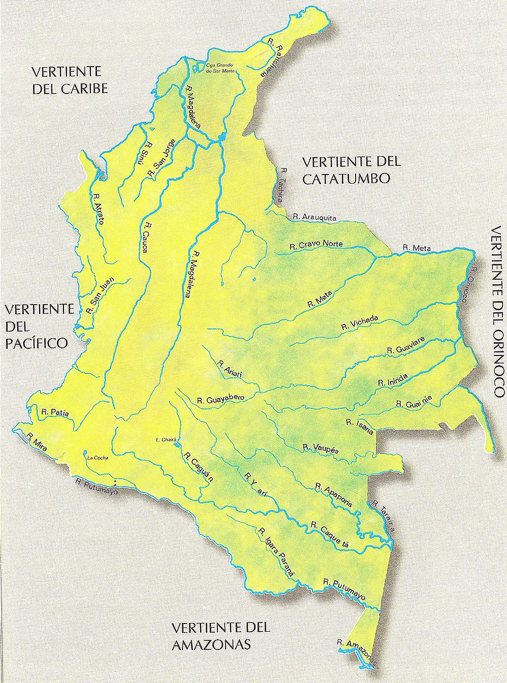
Location and map of the Mira River
The Mira River is an emblematic river that originates in the eastern mountain range of Ecuador and then makes a long journey to reach Colombian lands, originating from the confluence of the Chota and Lita rivers in the province of Imbabura (see article: Upia River).
We can find it more easily if we go north-west towards the equator and south-west towards Colombia. It covers a distance of three hundred and eight kilometres, crossing the equatorial provinces of Carchi and Esmeraldas, and then entering Colombian territory, where it crosses the department of Nariño, ending its journey at Cape Mangroves, in the Bay of Tumaco, on the Pacific Ocean.
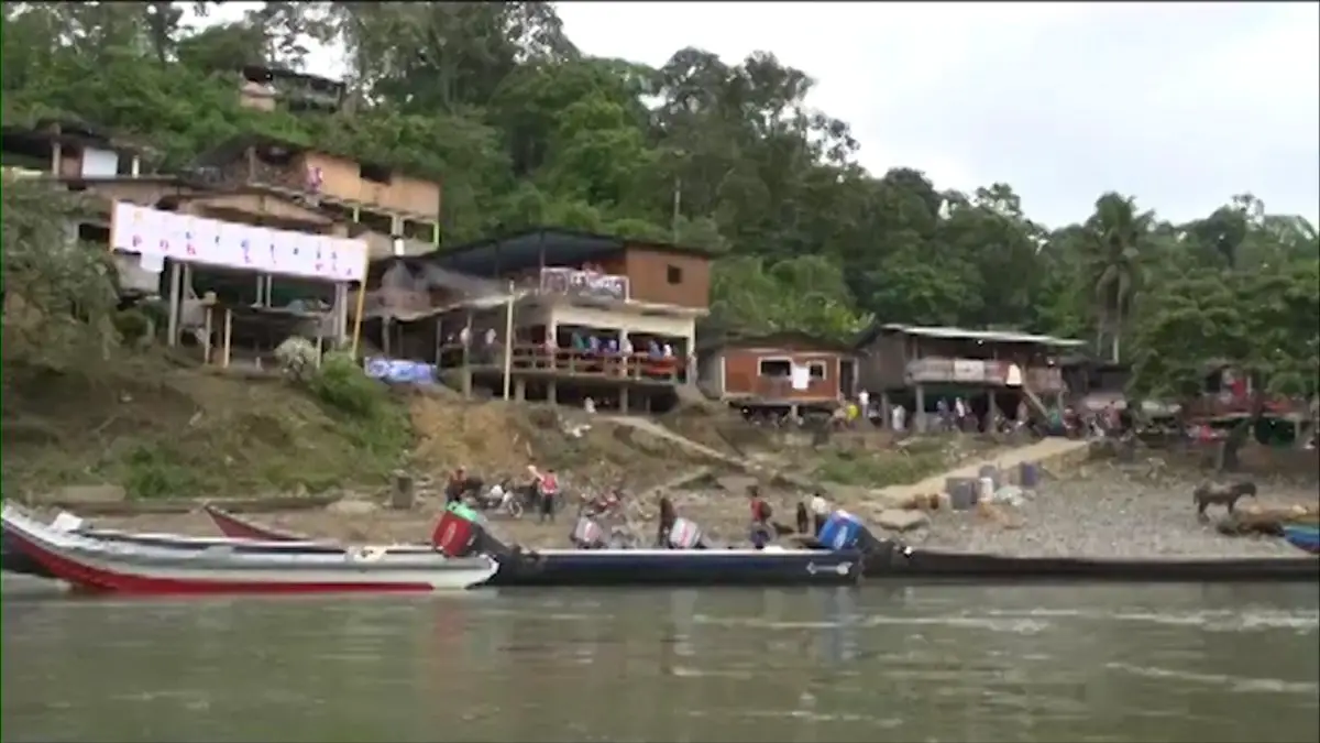
It is in the lower basin of the Mira River that the river’s greatest wealth is to be found. It is this area that supplies water to the Tumaco aqueduct and is used to irrigate an extensive area of crops and livestock. And it provides the best fishing for the inhabitants, both for subsistence and for commercialisation, the catfish being the main fish found there (see article: Porce River).
Due to its location, we can find three thermal levels, on the coast, the beaches or meadows, the so-called foot-mountains, which originate from seismic faults, and the high mountain, for this reason the climate varies according to the area in which it is located. On the beaches there is a semi-arid climate, in the central part, in the salt flats and the conception area, the climate is a little colder, and the rest of the area has a humid tropical climate.
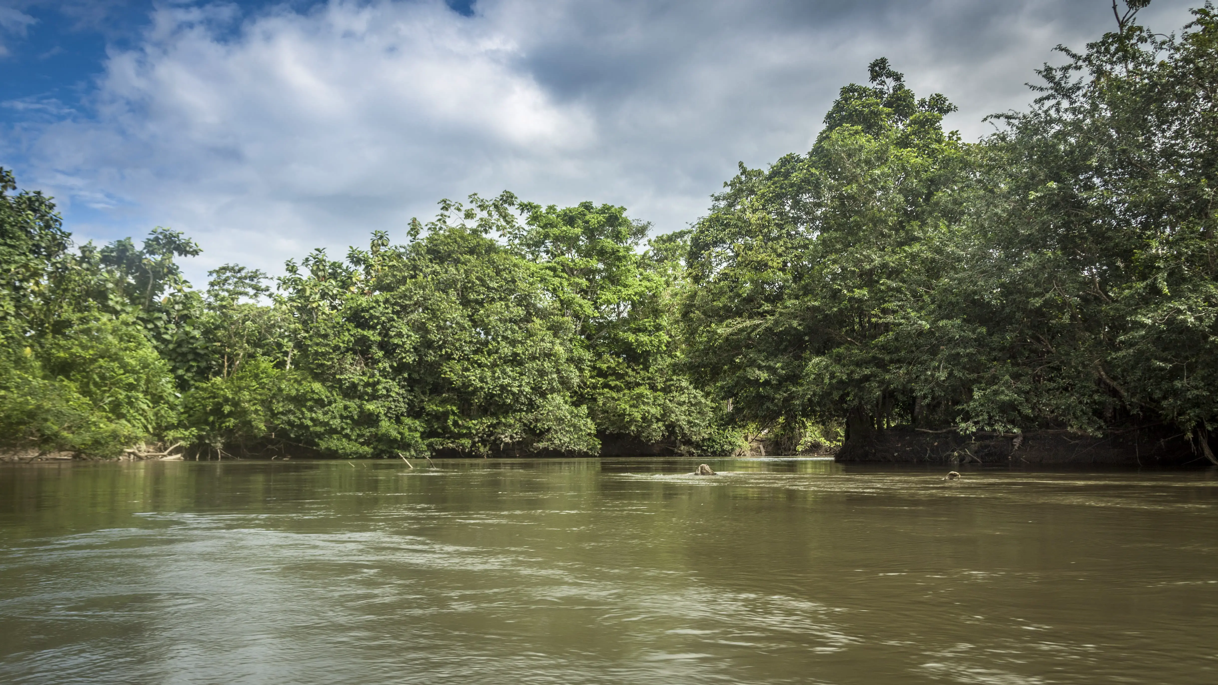
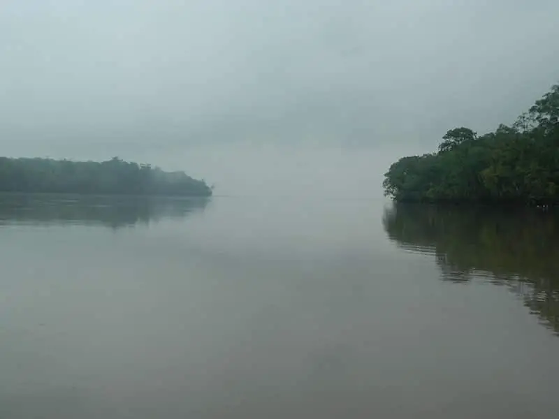

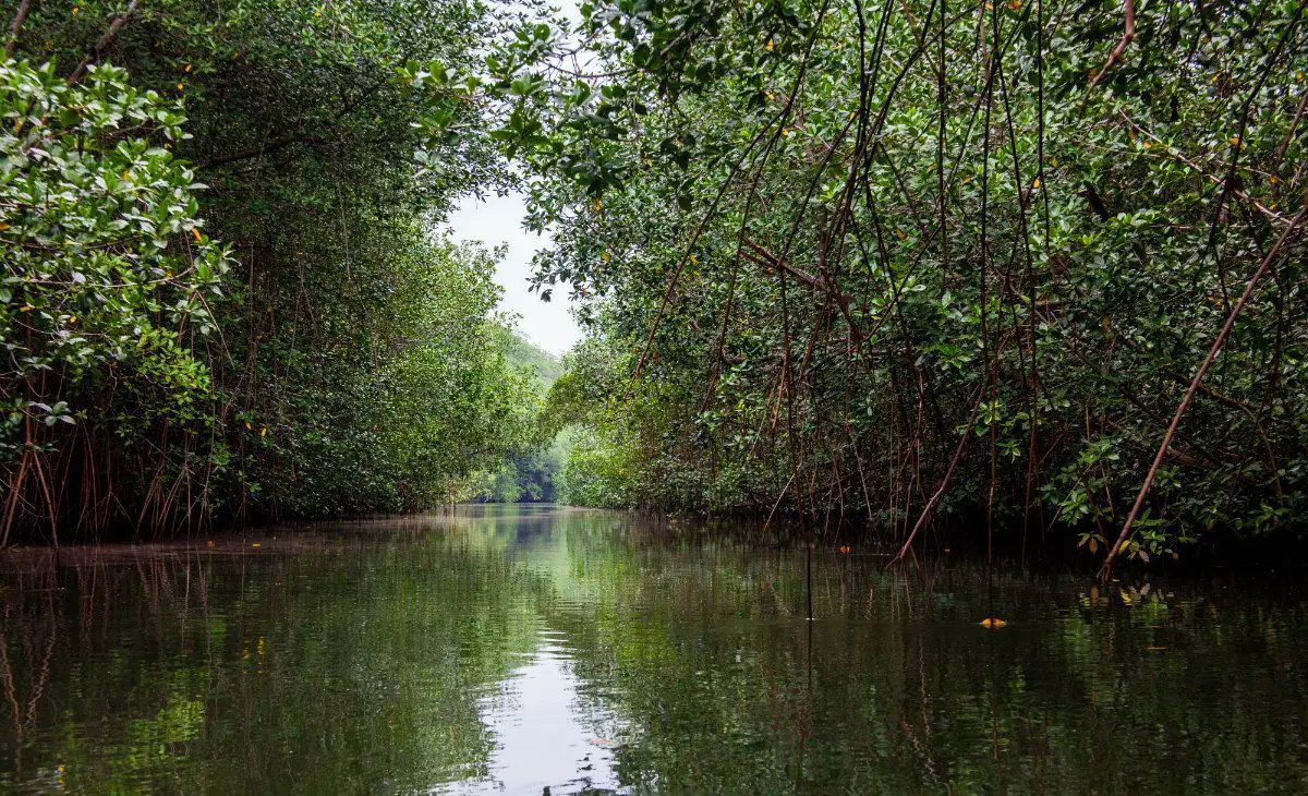
In the Mira River basin, in the department of Nariño, near the city of Tumaco, there is a protected area that was declared a National Natural Park in 2016, becoming the sixtieth in Colombia.
It has an estimated extension of two hundred and five thousand hectares, in which you can observe seven types of mangroves, such as the red mangrove, the nato, the jeli, the white, the shell and the feeder.
This area is the preferred nesting place for turtles, there are more than twenty species of birds, a large number of species of fish, molluscs and reptiles. The Mira River is about eighty kilometres long.
In the city of Esmeraldas, Ecuador, near the Mira River, the musical group Rio Mira – Marimba del Pacifico was formed to revive the music of the slaves brought from Africa, and this group has been awarded the status of Cultural Heritage by UNESCO. Their music has crossed borders, it is a very catchy rhythm made up of two marimbas, an instrument similar to the xylophone that comes from Africa, which they combine with the sound of drums and vibrators, and together with the voices of its members, create a very pleasant Latin dance rhythm.
In this video you can see a little of what this emblematic musical group is all about and enjoy their rhythm, as well as a brief description of the Mira River.

