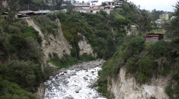
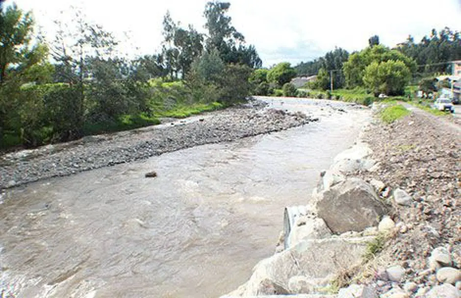
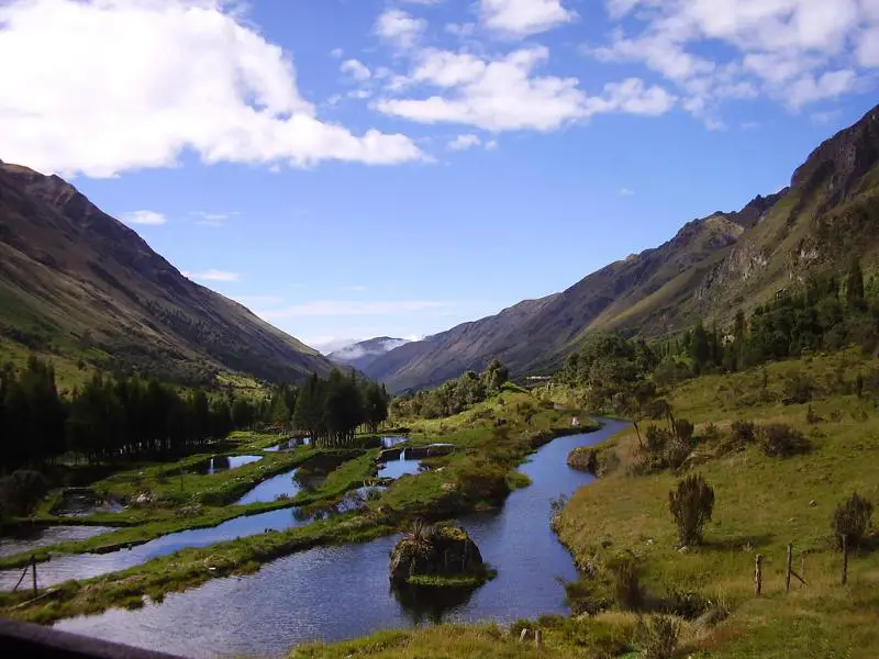
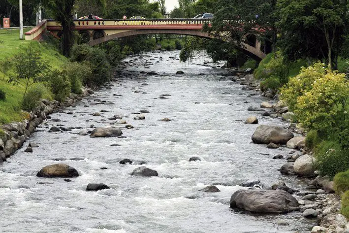
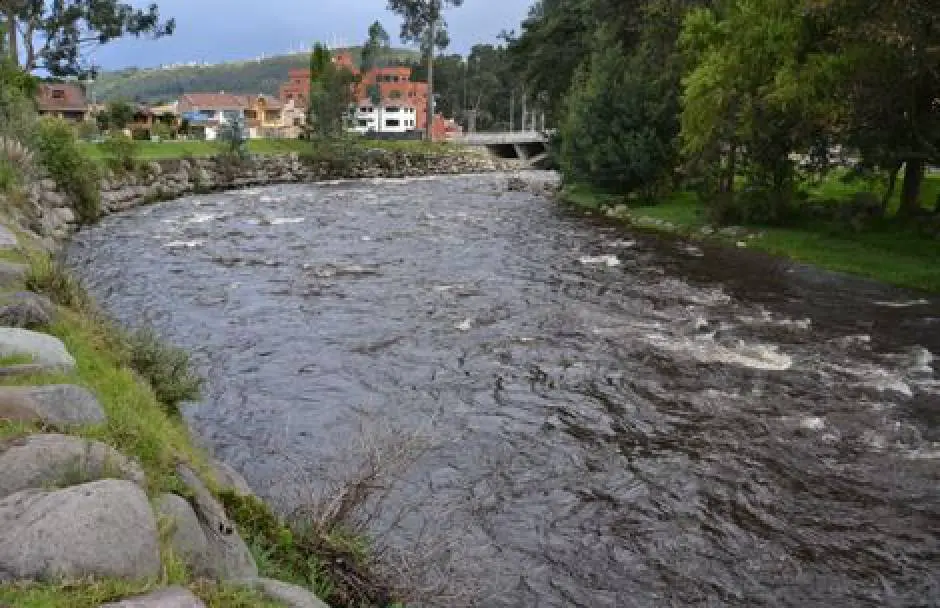
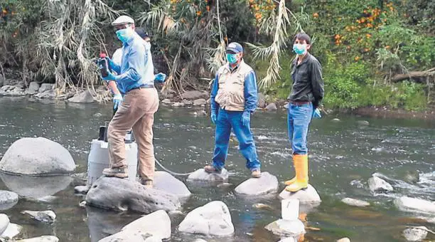
The Machángara River is located in the Republic of Ecuador. It originates in the El Cajas National Park in the Machangaracocha lagoon and flows through the province of Cuenca, along with three other important rivers.
Indice De Contenido
History of the Machángara River Quito
Before the creation of the Machángara River Basin Council in 1998, the basin was an area of resource exploitation where a sectoral perspective and use of water prevailed. The electricity sector, the public drinking water and sanitation sector and the irrigation sector used water for different purposes as they saw fit, with little coordination between them, which became a source of competition and conflict.
Description of stakeholders
The stakeholders listed below are members of the Machángara River Basin Council:
– ETAPA is the municipal public utility company of the city of Cuenca: it uses the waters of the Machángara River, which currently supplies 800 lts/sec, to provide water for human consumption and drainage services to 40% of the population concentrated in the city of Cuenca (505,500 inhabitants), the city with the third largest population in Ecuador.
– ELECAUSTRO S.A., Empresa Electro Generadora del Austro, has two hydroelectric plants in the basin. The SAUCAY plant consumes 9,000 lts/sec and the SAYMIRIN plant consumes 7,200 lts/sec. All of this energy contributes to Ecuador’s national hydroelectric production. In addition, ELECAUSTRO has two regulating dams with a storage capacity of 23 million cubic metres of water.
The source of the Machángara River Quito
Most of the Cajas National Park consists of subalpine forest, commonly known as páramo. Its banks provide about 60% of the drinking water for the city of Cuenca. Two of Cuenca’s four rivers originate in the Cajas, as does the Machángara (see article: Río Paute).
The highest point is Cerro Arquitectos (Architects’ Hill) at 4,450 metres and the elevation of the roads reaches over 4,310 metres. There are about 270 lakes and lagoons in the Cajas Páramo.
Luspa is the largest of these lakes, covering 78 hectares with a maximum depth of 68 metres within a perimeter of 5,161 metres. Like the other lakes, it is of glacial origin and the glaciers shaped the landscape of Cajas, leaving U-shaped valleys and ravines. Cajas provides about 60% of the drinking water for the region of Cuenca.
Hydrography of the river Machángara
Environmental flow is a management tool used to mitigate the impact of a dam on ecosystems. Ecuadorian law requires environmental flows to be maintained at 10% of the average annual flow in former hydroelectric plants, but developments in this area suggest that this is not sufficient (see article: Chira River).
The objective of this study was to evaluate the effects of a 10% release and to establish environmental flow recommendations in the Machángara rivers dammed by the Chanlud and El Labrado hydroelectric plants in the Machángara river basin (southern Ecuador).
Physical and chemical parameters and aquatic macroinvertebrates were recorded for twelve months. Analysis revealed significant differences in some parameters, indicating a decline in ecosystem condition, and relationships were found between flow, macroinvertebrate diversity and dissolved oxygen (DO) concentration.
However, it is difficult to determine whether these impacts are unacceptable as there are no established criteria for required ecological condition in Ecuador. This degradation of ecological condition can be minimised by applying more modern methods of environmental flow assessment, such as the Baseflow Method (BFM), which takes into account the variability of river flow.
For the Machángara River (3000-4000 m a.s.l.), BFM indicated an environmental flow of 27-51% of the mean annual flow for the rainy season and 29-42% for the dry season. For the Chulco River (3000-4000 m a.s.l.), the environmental flow was 15-45% of the mean annual flow in the wet season and 15-36% in the dry season (see article: Potomac River).
Pollution of the Machangara River
The Machángara is Quito’s main river, receiving 75% of the city’s sewage as well as large amounts of garbage and debris, which also pollute it. The overall plan for cleaning and reclaiming the Machángara River will prevent the discharge of sewage by constructing sewers on both sides of the river, leading to the treatment plant(s) and the final discharge into the Guayllabamba River.
ASTEC carried out the final designs for sections 1, 2 and 3, for all elements of catchment, collection, separation and conveyance of wastewater to the interceptors and conveyance lines (see article: Thompson River).
The work was carried out in two phases:
Phase 1: As-Is Assessment, Preliminary Design of Identified Alternatives and Selection of Alternatives.
Phase 2: Final design of the selected alternative, including
- Hydraulic and sanitary design of the catchment system.
- Separation of conveyance and discharge flows.
- Study of soil mechanisms at the locations where the main facilities will be implemented.
- List of materials and unit prices, final budget and schedule.
- Technical specifications of materials and construction.
- Environmental impact study.

