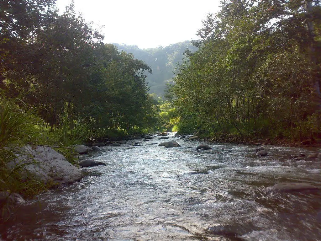
The Jamapa River in Mexico, in the state of Veracruz. It rises at an enormous height and fills up as it goes. Want to know how it grows?
Indice De Contenido
Jamapa River
The Jamapa River is located in Mexico, in the state of Veracruz. Part of it flows into the state of Puebla.
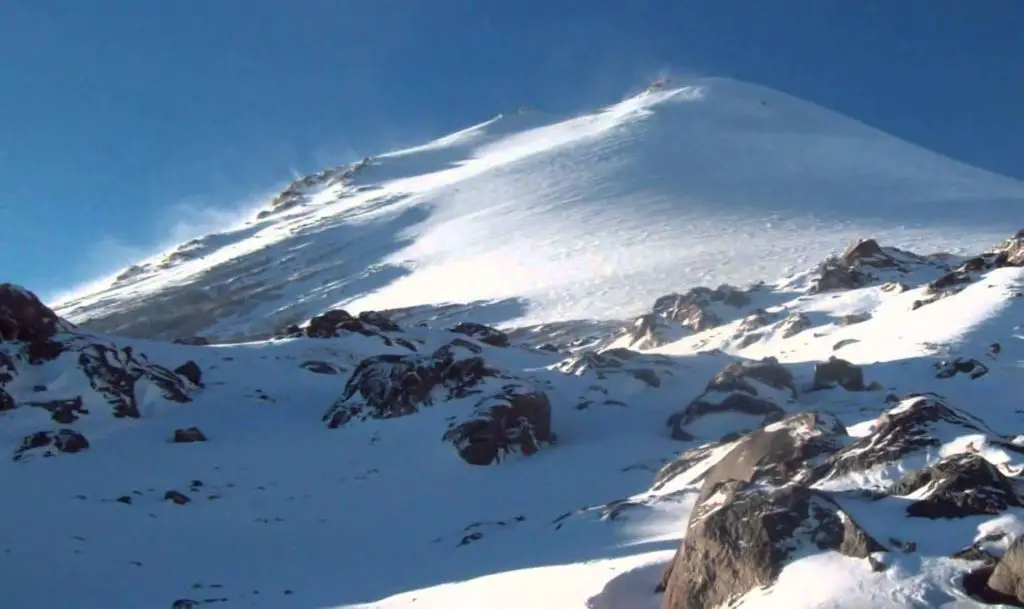
It is fed by snowmelt and snow from the Pico de Orizaba, which accumulates on its slopes.
This occurs at an altitude of about 5,000 metres in the glacier called Jamapa.
The Jamapa River is 368 kilometres long. Its basin covers an area of 4,061 km2.
Cañada del Jamapa
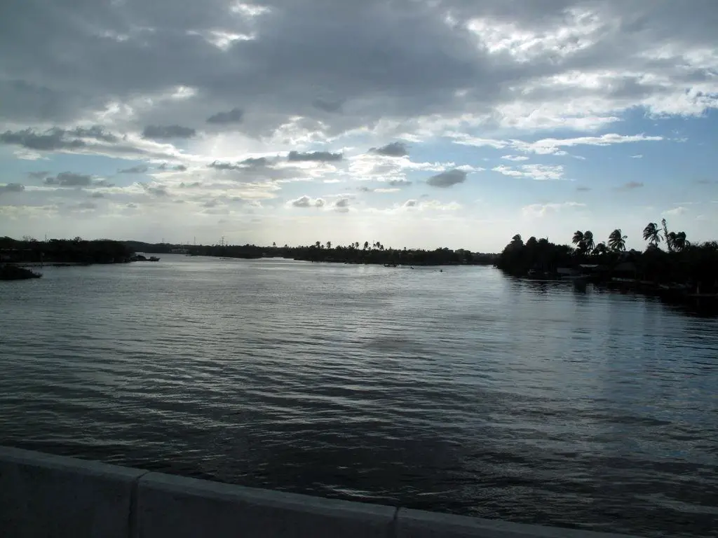
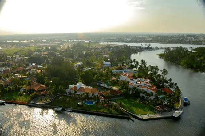
After passing through the states of Puebla and Veracruz. It ends its journey and delivers its waters in a place called Boca del Río, located on the shores of the Gulf of Mexico.
Hydrological basin of the Cotaxtla – Jamapa River
In Mexico, river basins have been subdivided and given different names and numbers.
In this way, they are classified according to the usefulness and use of the water sources. The same applies to the areas and populations covered by these basins.
For example, the Jamapa River is included in the Cotaxtla-Jamapa River Basin.
Characteristics of the Cotaxtla-Jamapa basin
This basin has an extension of 3912 km2. Its average annual discharge is 4.216 million dl (decilitres).
It is located between the La Antigua basin and the Papaloapan basin.
It is conformed by two streams that are known at their confluence and are called the Cotaxtla River, which is considered the general collector, and the Jamapa River, which is considered the collector of tributaries.
So we have the Jamapa River, which rises in the border area between Puebla and Veracruz at about 4,700 metres above sea level. The second longest river in Mexico is the Rio Grijalva.
It rises in the Barranca de Cosc-zmatepec, a collection of streams that form to the north of the Pico de Orizabe.
It also flows to the south-east of the Cerro de la Cumbre, where it joins the Rio Jamapa at Huatusco, the Rio Paso de los Gasparines and the Rio Xicuitla. The latter has its source in a place called Tlatetela.
Continuation of the Jamapa River route
Approaching the town of Paso del Macho, the Ixcualco stream joins the Jamapa and Palmito rivers, whose source is 12 kilometres from Soledad de Doblado. It flows along the right bank. One of the most important is the River Nazas.
It then passes through the town of Medellín de Bravo, to join the Cotaxtla 5 kilometres downstream from the El Tejar hydrographic station.
The Jamapa River now keeps the name Cotaxtla. It continues to flow northwards through flat and cultivated land, forming numerous meanders.
It then makes a detour to the east, where it receives water from both banks of the Moreno River and Laguna Mandinga Grande.
It then continues towards Boca del Rio, where it empties its waters into the Gulf of Mexico.
Mouth of the Jamapa River
Flooding of the Jamapa River
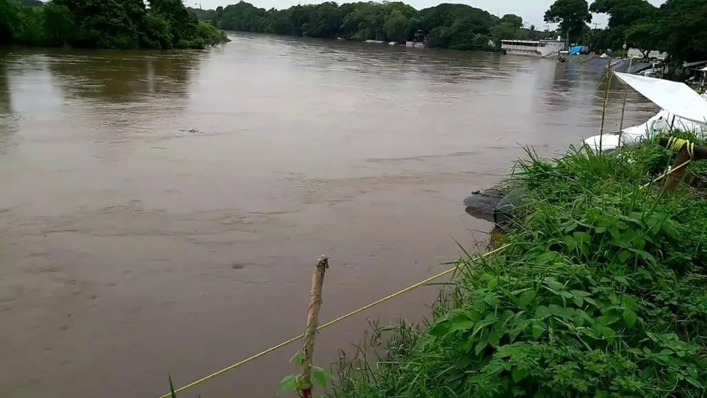
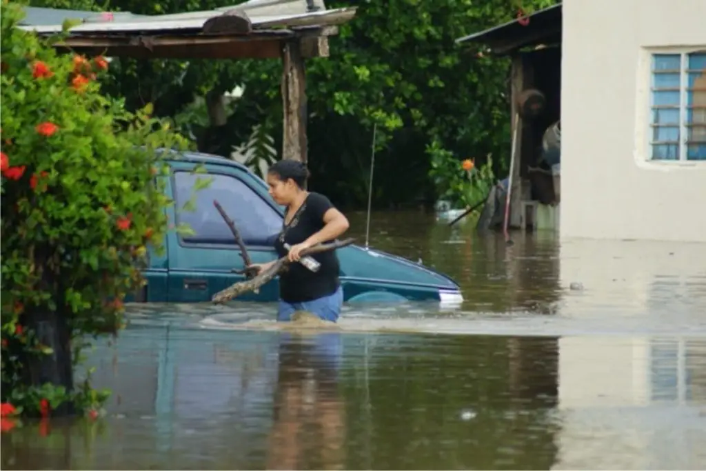
One of the most dangerous aspects of the Jamapa River is the flooding of the surrounding communities.
The river receives so much water during the rainy season that it rises disproportionately, and with so many people living in its vicinity, they have suffered the effects of these unfortunate events.
September 2017
The Jamapa River floods
Curiosities
The source of the Jamapa River is the famous Orizaba Peak. With a great history in which this peak has a lot to do with the development and survival of those who live in the areas that have access to it.
The ecosystem that surrounds us must not be destroyed, because if it is, human life itself will be destroyed.
Here is a short documentary about what is happening in and around Pico Orizaba. It aims to raise awareness of the need to take care of the environment that surrounds us and gives us life.
The Orizaba Peak, under threat
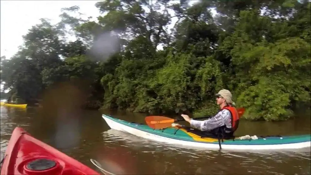
Kayaking is another activity enjoyed by water sports enthusiasts. It can be enjoyed in the waters of the Jamapa River in its quiet moments.
Kayaking on the Jamapa River – Veracruz

