
Coming from the central plains of Venezuela, the Guárico River flows through its bed with water that feeds reservoirs used for different purposes. Would you like to know what they are? Read on and you will be interested.
Indice De Contenido
Guárico River
The Guárico River is located in the central plains of Venezuela, where its main function is to feed reservoirs used for crop irrigation and to supply drinking water to the capital, Caracas, through the Camatagua reservoir.
It is 525 km long. It is located in the municipality of Urdaneta, in the state of Aragua, on the southern slope of the Serranía de Interior. Its characteristic feature is the mountainous landscape that dominates the foothills.
The predominant climate is tropical savannah. The average annual temperature is 26o. The average annual rainfall is 1,245 mm.
It rises in the interior of the Cordillera de la Costa at an altitude of 770 metres, near the city of Belén.
Historical data on the characteristics of the Guárico River in the past suggest that its waters were probably navigable for a long time, given that it flows into the Orinoco River.
Tributaries of the Guárico
The Pao and Caramacate, Tucunemo and Zuata rivers are the first to fill the Guárico River, before it reaches the Camatagua reservoir. When it begins to cross the plains, the Taguay and Paya rivers are the first to deposit their waters, which flow into the Guárico reservoir. On its right bank are the Rivers San Juan and Palma.
From there it begins its journey in Calabozo, with a large number of meanders that do not exceed 100 metres in altitude, until the waters of the Orituco River are deposited in it. Before the end of its journey, its inflow is confused with that of the Apure River. Until it reaches the end, where it gives its waters to the Orinoco, as well as to the Caura and Arauca rivers.
The Guárico River Basin
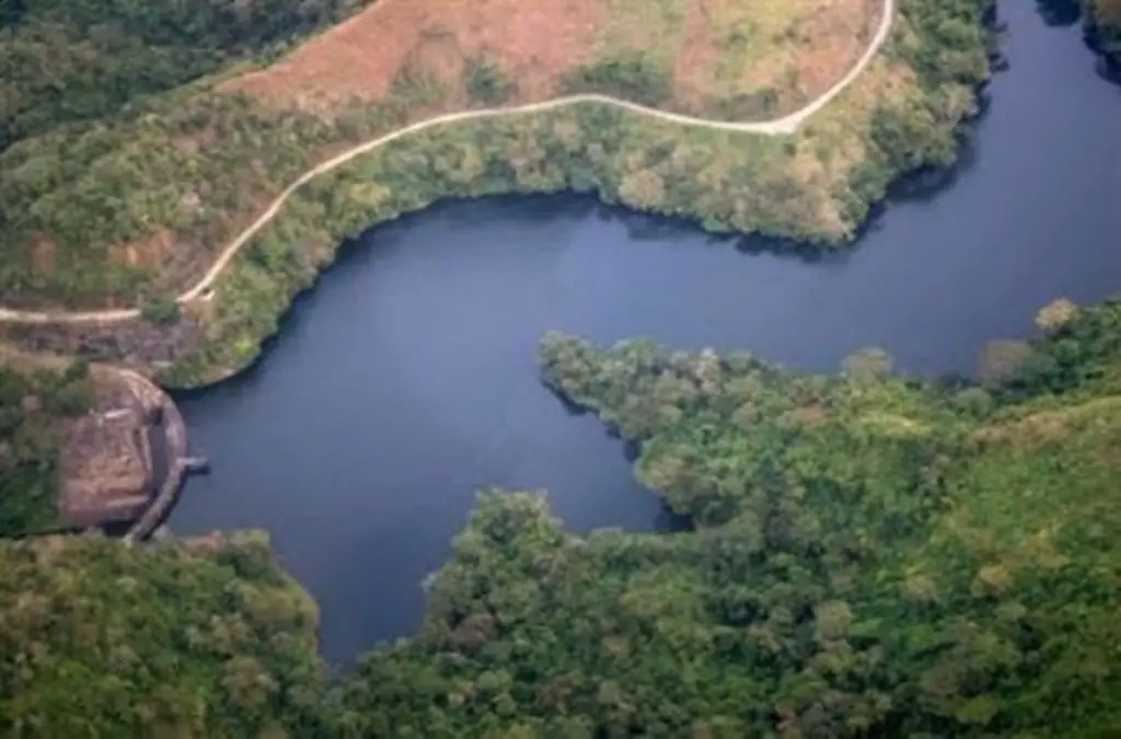
It covers an area of about 8,000 km2. It has been incorporated into the water supply system of the so-called Metropolitan Region, and the waters of the Guárico River are conveyed through a system called Tuy III or Camatuy.
After being treated, the water is sent to supply the capital.
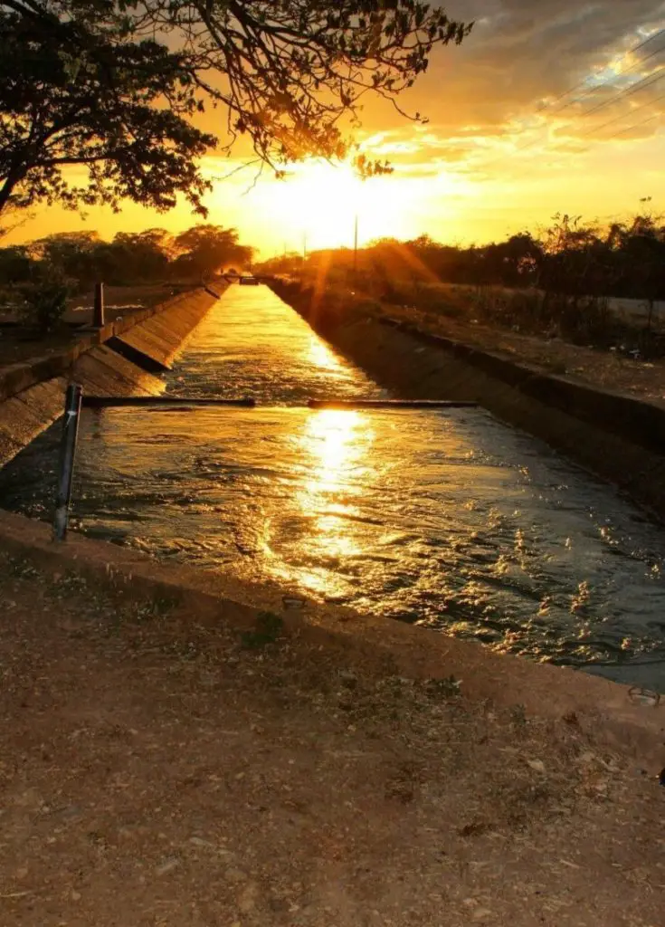
Another reservoir system is the Sistema de Riego del Río Guárico. This system is located in the municipality of Francisco de Miranda, Calabozo, in the state of Guárico. There are two components that make up its structure:
- It is the structure that collects the water coming from the Guárico River.
- The second is the one that distributes the collected water, which comes out through an energy dissipation box and a network of irrigation channels.
The Guárico River reservoir was built for three specific purposes, namely
- Flood control
- drinking water supply for the population, and
- Irrigation
In terms of storage and irrigation capacity, it has become one of the most important reservoirs in the country, along with the River Portuguesa.
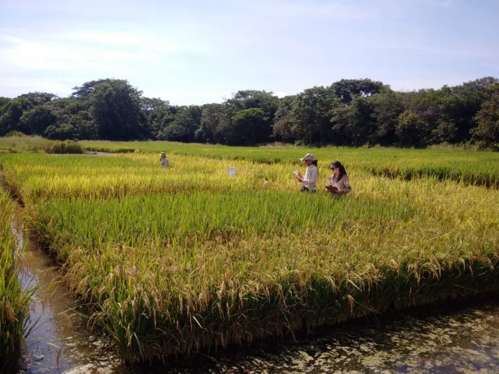
The irrigation system of the Guárico River stands out due to its importance in the development of rice cultivation in the region. It occupies 60,000 hectares of irrigable land, of which 45,260 hectares are under irrigation. The average irrigated area is 35,000 hectares.
Ecosystem Environment
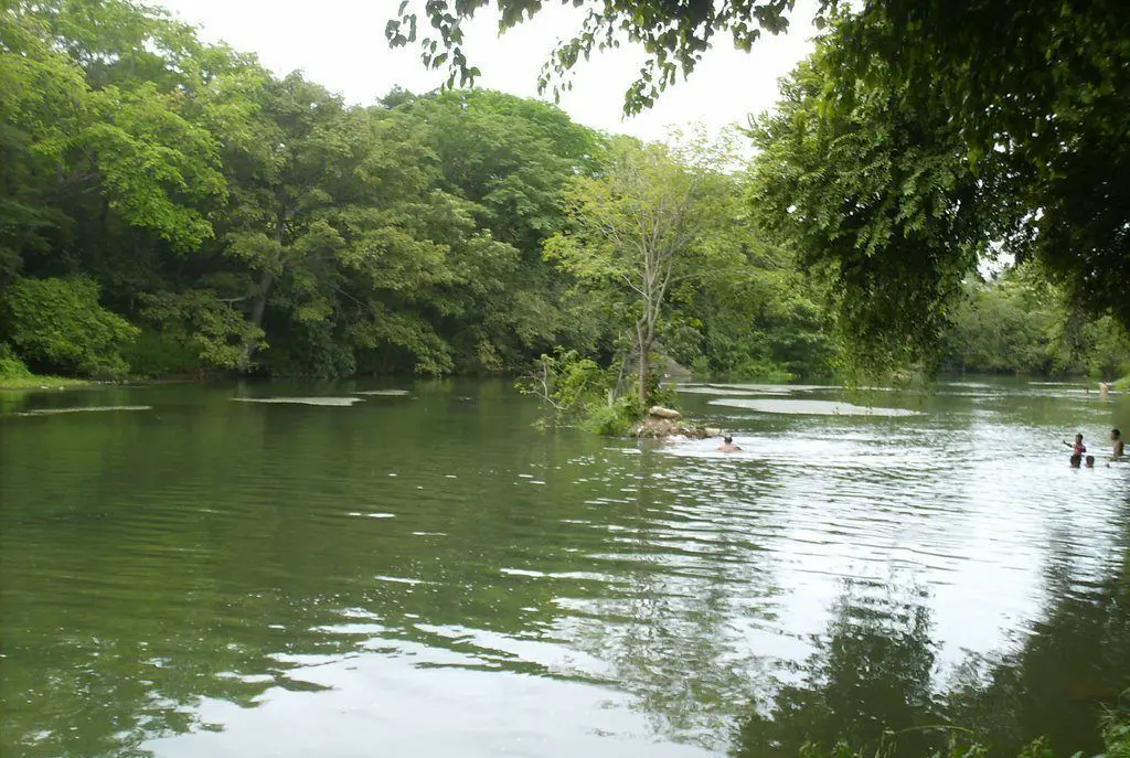
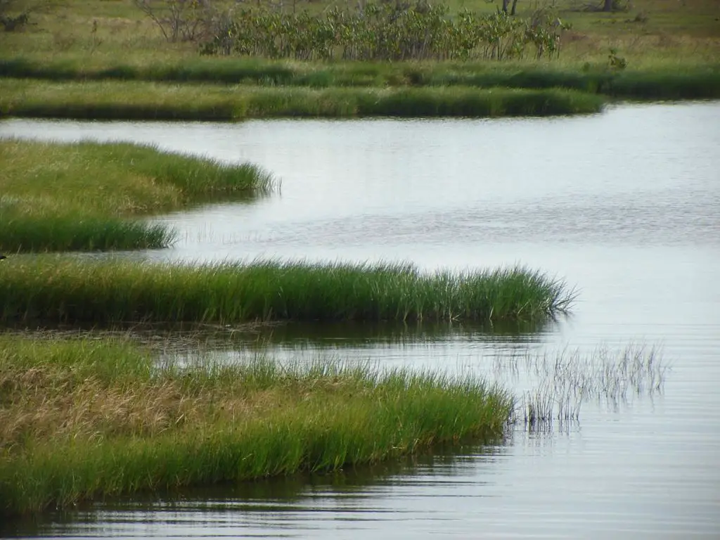
The vegetation on the slopes consists of tall forests with 2 to 3 dense tree layers of medium height. Narrow gallery forests and low, sparsely wooded savannahs with predominantly gramineous vegetation can be found along the course of rivers and streams. Another spectacular ecosystem is that of the Capanaparo River.
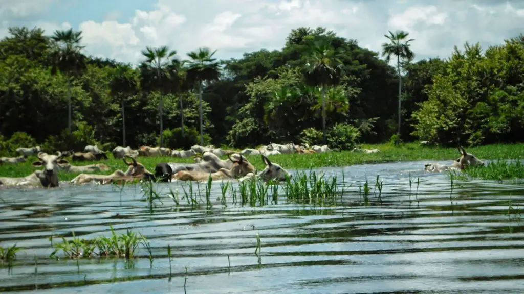
Economic activity
Livestock and agriculture are the main economic activities on the banks of the Guárico River, due to its mostly flat geography and the abundance of rivers and springs in its geographical area, which make it easy to develop.
It has witnessed the emergence of a modern, entrepreneurial agriculture structured by irrigation. This has had the advantage of increasing the production of rice, maize and sorghum, in an area of more than 424,000 hectares.
The population
From the basin of the Guárico River to the vicinity of the Camatagua Reservoir, there are several important population centres, including the following
- Belén
- Part of Villa de Cura
- San Juan de los Morros
- San Casimiro
- San Sebastian
Curiosities
Warning about the state of the dam. To be considered.