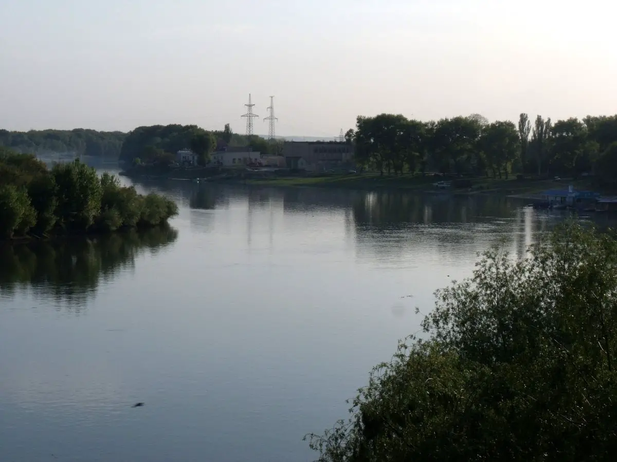
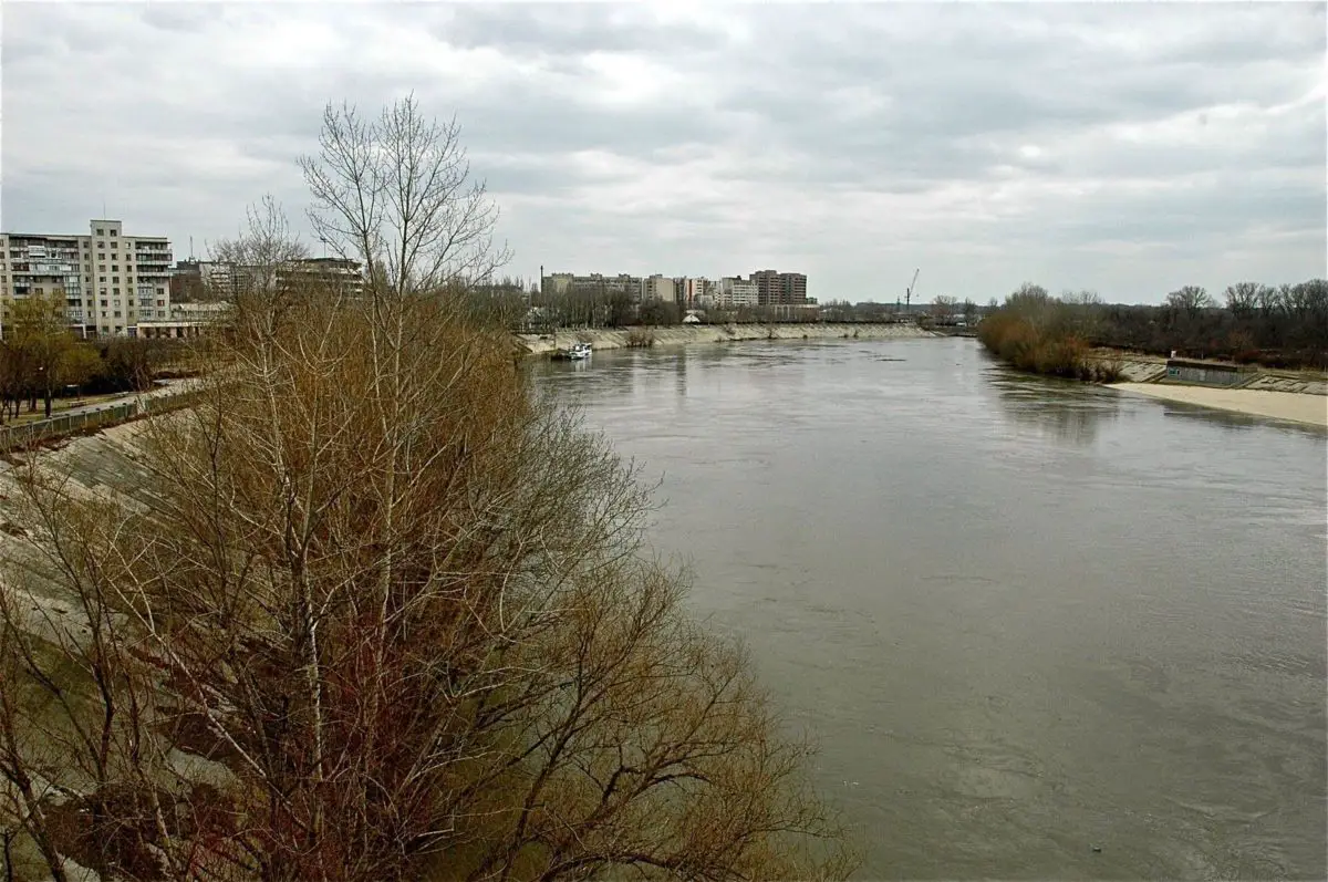
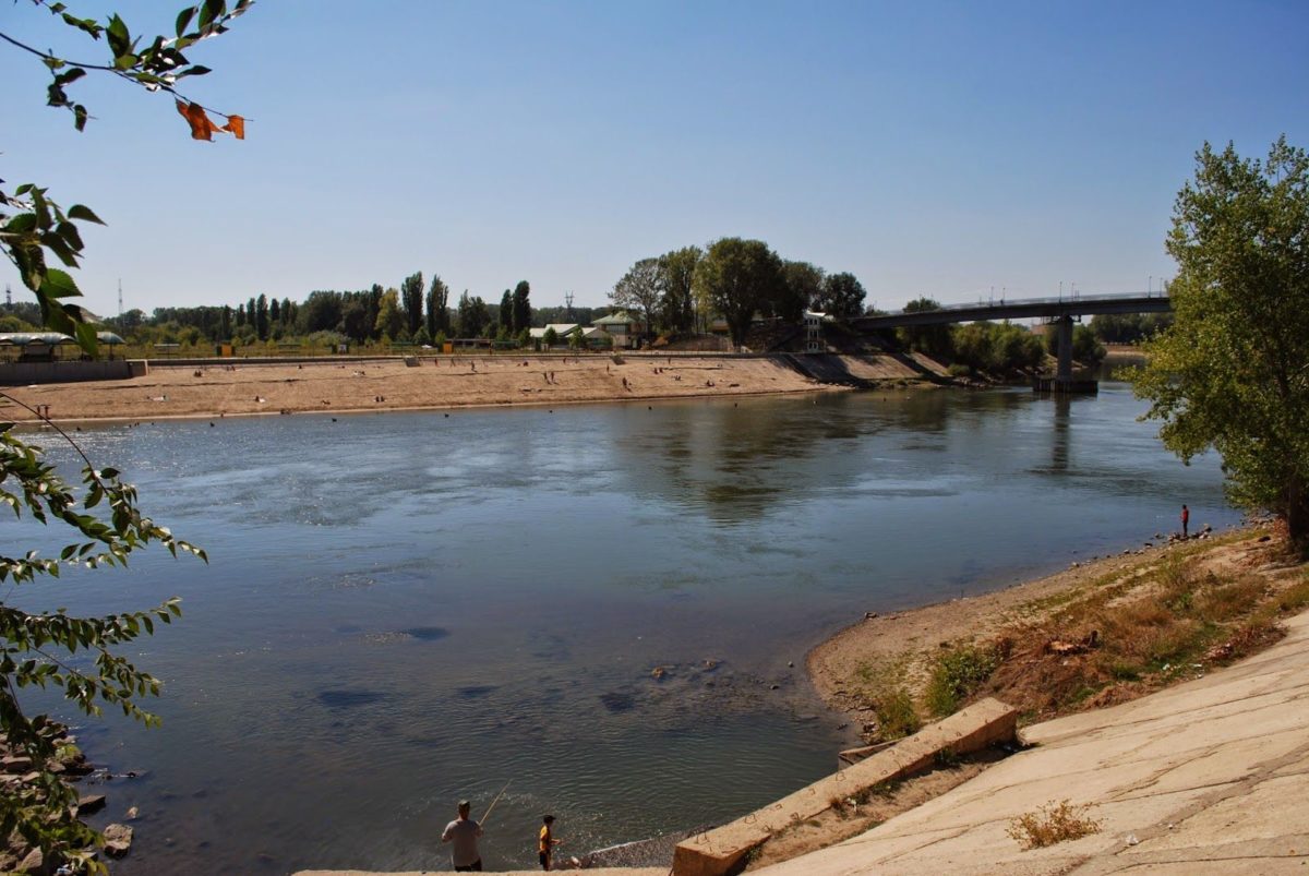
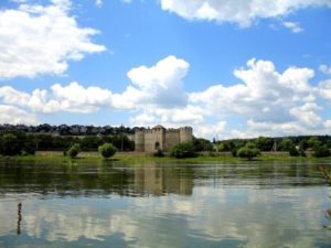
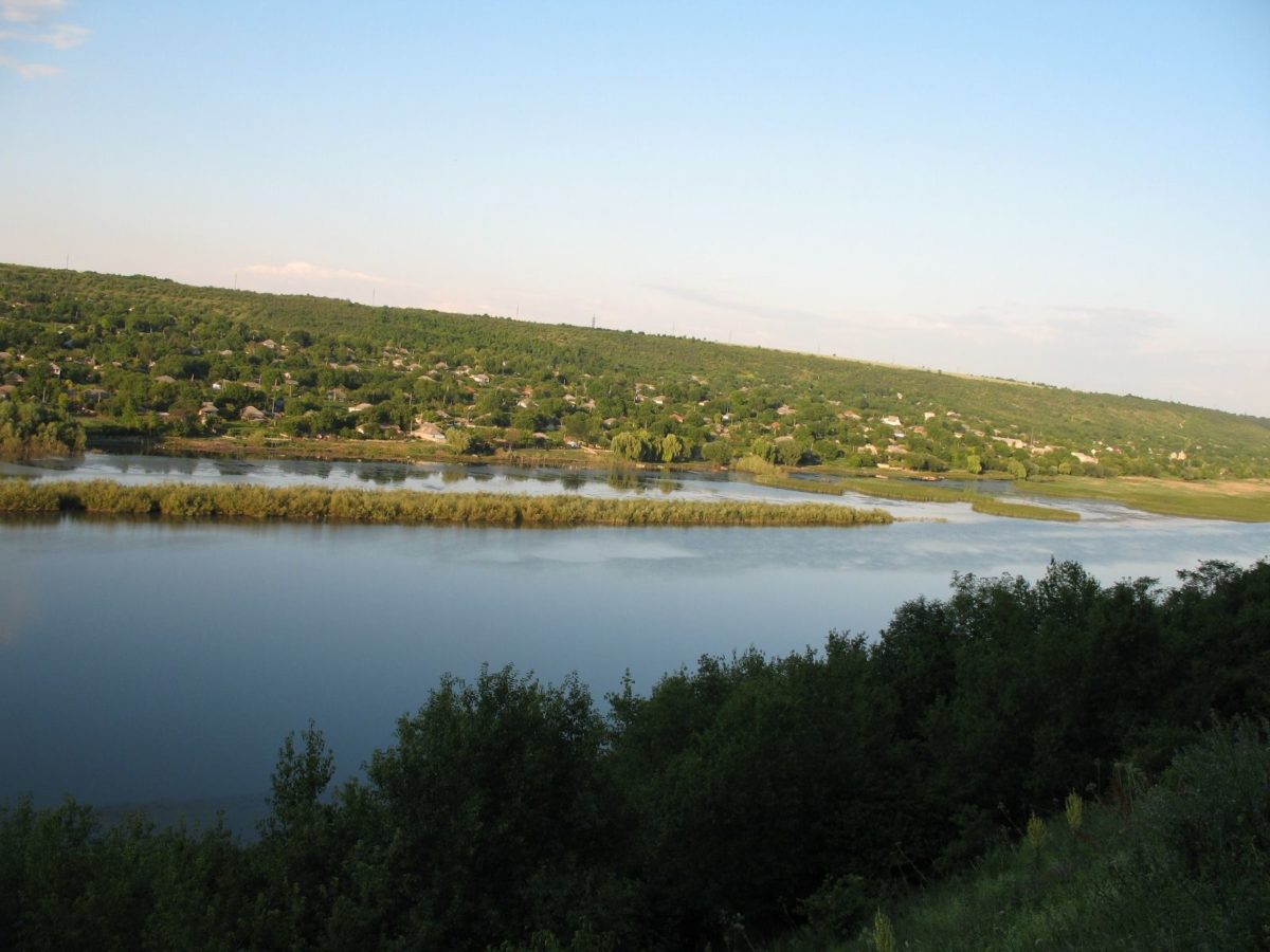
Get to know through our article the Dniester River which is located in Ukraine, Eastern Europe, we know you will like it.
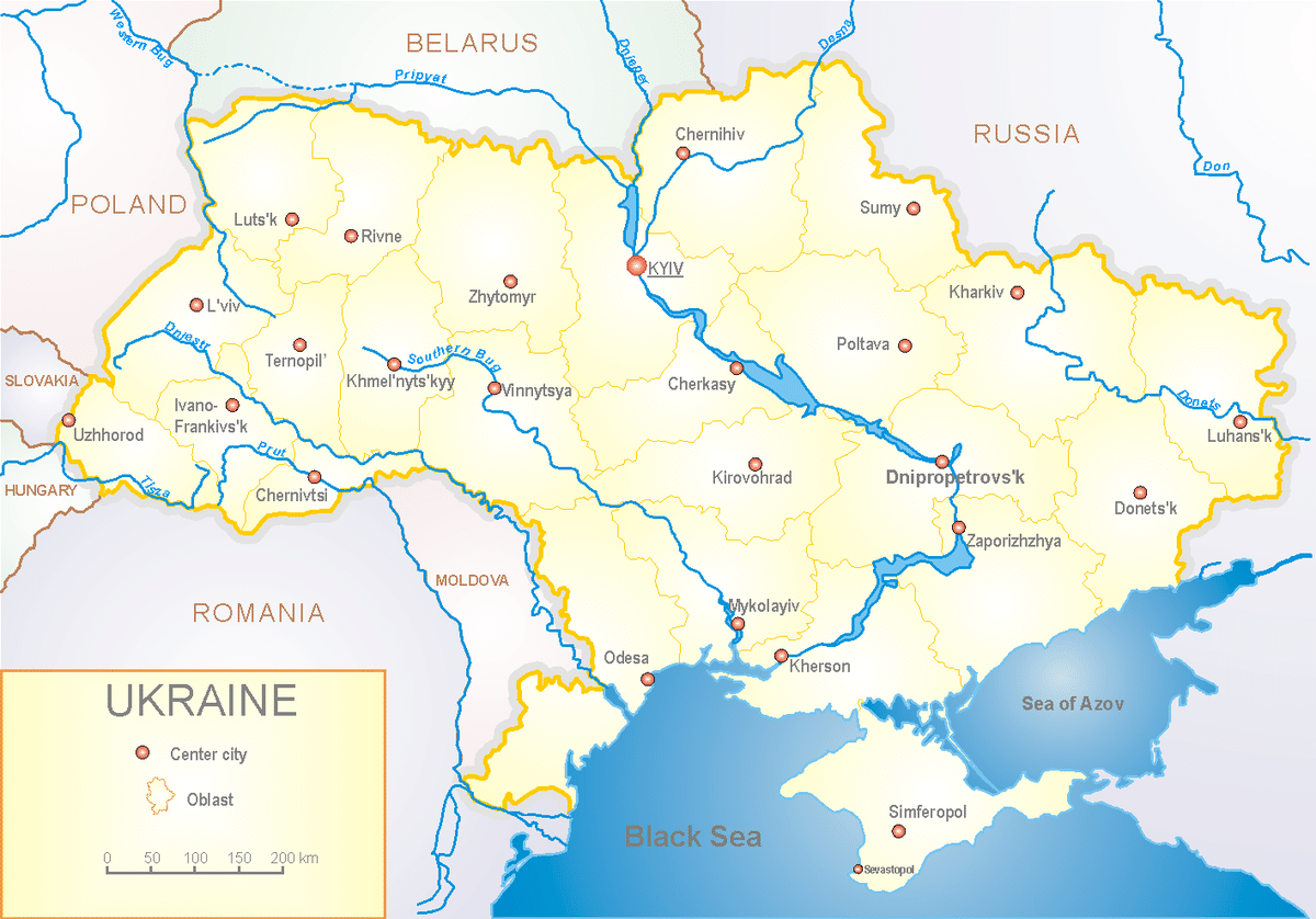
The Dniester is a river in Eastern Europe. It rises in Ukraine, then flows through Moldova (from which it separates the breakaway territory of Transnistria), and finally flows back into the Black Sea on Ukrainian territory.
It is the second longest river in Ukraine. It is 1,360 km long, almost as long as Russia’s Pechora. The Dniester used to flow alone through Ukrainian territory.
But after the ancestors of the Romanians settled in the lands east of the Carpathians (from the late 14th century), and after Bessarabia became Romanian, the Dniester from Mohyliv-Podilskyi to its mouth (about a third of its length) marked the Ukrainian-Romanian ethnic border.
The Dniester basin covers an area of 72,100 km2, the same size as the Seine.
Watch the video below to see how the Dniester River is crossed:
https://www.youtube.com/watch?v=QFAtS_J49u0
Indice De Contenido
Origin of the name Dniester
The name Dniester comes from Sarmata dānu nazdya, which means “the nearby river”. The Dnieper, also of Sarmatian origin, derives from the opposite meaning, “the river on the opposite side”.
The ancient Greek name of the Dniester, Tyras ( Τύρας ), comes from the Scythian tūra, meaning “swift”. The names Don and Danube also come from the same Indo-Iranian word dānu, meaning “river”.
Classical authors also called it Danaster. Edward Gibbon, in his History of the Decline and Fall of the Roman Empire, refers to the river as both the Niester and the Dniester.
Map geography of the Dniester
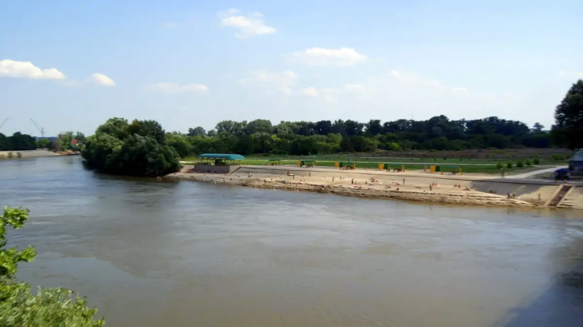
The Dniester rises in Ukraine near the town of Drohobych, close to the Polish border, and flows into the Black Sea. Another river flowing into the Black Sea is the Dnieper.
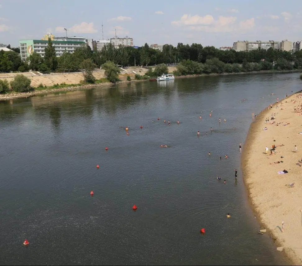
It forms part of the border between Ukraine and Moldova, then flows through Moldova for 398 km (247 miles), separating the main territory of Moldova from the breakaway region of Transnistria.
It later forms another part of the Moldovan-Ukrainian border, then flows through Ukraine to the Black Sea, where its mouth forms the Dniester Liman.
Along the lower half of the Dniester, the western bank is high and undulating, while the eastern bank is low and flat. The river represents the de facto end of the Eurasian steppe. Its main tributaries are the Răut and the Bîc. The Dniester is a very navigable river, like the Rhine.
Watch this video to see another part of the Dniester:
History of the Dniester
During the Neolithic period, the Dniester River was the centre of one of the most advanced civilisations in the world at that time.
The Cucuteni-Trypillian culture flourished in this area from about 5300 to 2600 BC, leaving thousands of archaeological sites.
Its settlements had up to 15,000 inhabitants, making it one of the first large agricultural communities in the world.
In antiquity, the river was considered one of the main rivers of European Sarnatia and was mentioned by many classical geographers and historians.
According to Herodotus, it originated in a large lake, while Ptolemy located its sources in Mount Carpatho (the modern Carpathians) and Strabo said they were unknown.
It flowed eastwards along with the Ister (lower Danube) and formed part of the border between Dacia and Sarmatia.
It entered the Pontus Euxinus to the north-east of the mouth of the Ister, the distance between them was 900 stadia, about 210 km, Scymnus (Pater 51) describes it as easily navigable and rich in fish. Ovid (ex Pont.Iv.10.50) speaks of its swift course.
According to Constantine VII, the Varangians used boats on their trade route from the Varangians to the Greeks, along the Dniester and Dnieper and along the Black Sea coast.
Navigation along the western Black Sea coast included stops at Aspron (at the mouth of the Dniester), then Conopa, Constantia (sites now in Romania) and Messembria (now in Bulgaria).
From the 14th century until 1812, part of the Dniester formed the eastern border of the Principality of Moldavia.
Between the world wars, the Dniester formed part of the border between Romania and the Soviet Union. In 1919, on Easter Sunday, the bridge was blown up by the French army to protect Bender from the Bolsheviks. During the Second World War, German and Romanian forces fought Soviet troops on the west bank of the river.
After the Republic of Moldova declared independence in 1991, the small area east of the Dniester that had been part of the Moldavian Soviet Socialist Republic refused to join and declared itself the Pridnestrovian Moldovan Republic, or Transnistria, with its capital in Tiraspol on the river.
In this last video, we leave you with images of the different rivers of Ukraine, so that you can admire their beauty.

