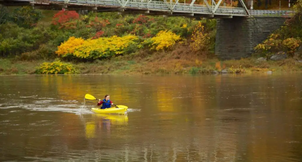
Much of the Delaware River has been designated Wild and Scenic, covering 30,000 acres of natural parkland in the eastern United States.
Indice De Contenido
Location of the Delaware River
The mighty Delaware River begins its journey in the state of New York and flows south for about 670 kilometres, completing its length.
Along its course it forms the natural boundary between several places, first between Pennsylvania and New York, then between New Jersey and Pennsylvania, and then between Delaware and New Jersey. It then flows into Delaware Bay and the Atlantic Ocean (see Potomac River).
The source of the Delaware River is two streams that come from the western slopes of the Catskill Mountains and join to form the river. The first is the West Branch, which comes from Schoharie, and the other is the East Branch, which comes from Grand George; they meet near Hancock, New York.
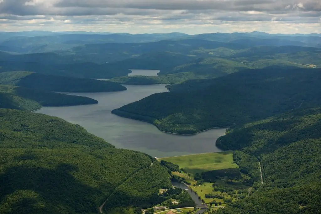
Delaware River Basin
The Delaware River Basin covers an area of approximately 36,568 km2 and includes 42 counties and 838 municipalities in the states of New York, New Jersey, Pennsylvania, Maryland and Delaware.
Its 216 tributaries, including rivers and streams, contribute to its ranking as the 33rd largest river in the United States and the first in terms of the daily tonnage of its waters used for fishing, energy, transportation, recreation, residential and industrial purposes, among others.
The Delaware is one of the nineteen Great Waters recognised by America’s Great Waters Coalition, and in 1978 a 74.3km stretch of its upper reaches was designated a National Scenic & Recreational River.
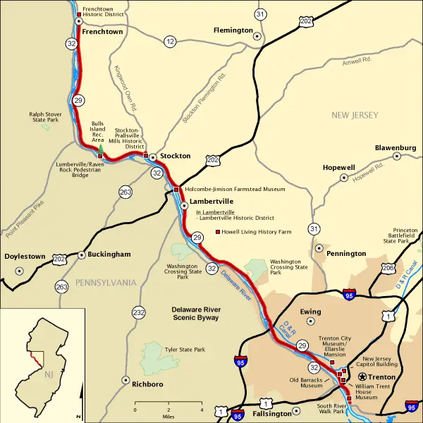
The course of the Delaware River
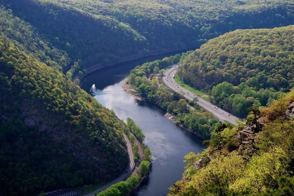
In its first stretch, the Delaware River flows between the Pocono Mountains and the northern Catskill Mountains, then through a broad Appalachian valley, past Hawk’s Nest Overlook, on the Upper Delaware Scenic Byway. It continues southeast for about 80 miles (125 km) through rural areas between New York and Pennsylvania to reach Port Jervis and the Shawangunk Mountains.
In the Minisink Valley it turns off to the end of the ridge at Walpack Bend in the Delaware Water Gap National Recreation Area, skirts the Kittatinny Ridge between stone walls and passes through farms, forests, plateaus and cliffs, then crosses the Appalachian Plain.
It climbs again through beautiful hills and meets the Lehigh River at Easton, Pennsylvania. Further on, at Trenton, it forms a 2.4 metre high waterfall (see James River).
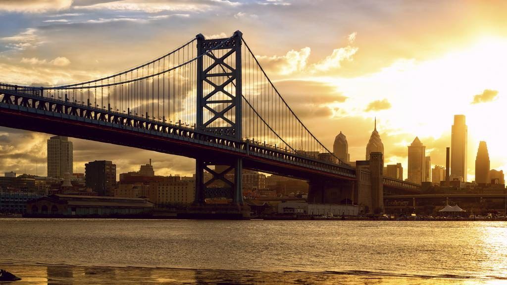
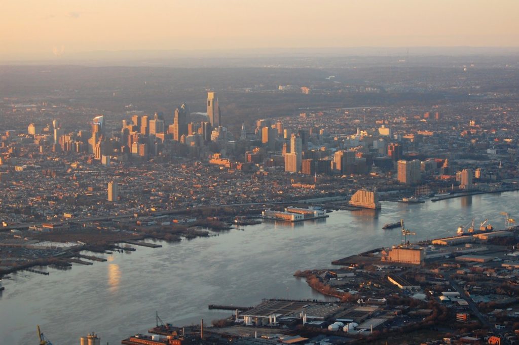
As it descends, the Delaware River flows through Philadelphia and New Jersey, becoming a wide, calm, seaward river surrounded by marshes and a wide estuary known as Delaware Bay.
History of the Delaware River
The Englishman Henry Hudson was the first expeditionary on the waters of the Delaware River in 1609, seeking a route to what is now China, and instead began the colonisation of North America by the Dutch, who with the Swedes called the waterway the “Southern River”, in comparison to the Hudson, which they called the “Northern River”.
The English later took control of the land and named the river the Delaware in memory of the first royal governor of the colony of Virginia, Sir Thomas West, Baron De La Warr.
Throughout the 18th century, cities such as Camden, Philadelphia, New Castle, Wilmington and Trenton grew up along the Delaware River, using its waters for commerce and other everyday uses.
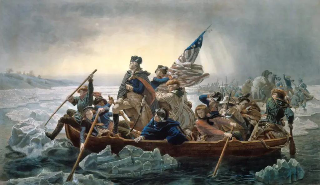
During the American Revolutionary War, on 25 December 1776, George Washington crossed the Delaware River from Pennsylvania to surprise enemy troops caught off guard at Trenton, New Jersey.
This successful and powerful strategy resulted in a great American triumph and the site of the event has been declared a National Historic Landmark.
Canals on the Delaware River
There are several canals on the Delaware River that have been consolidated due to the growth and importance of commerce in the region.
These include the Delaware Division of the Pennsylvania Canal, which runs with the river from Easton to Bristol; the Delaware and Raritan Canal, from Bulls Island to Trenton, which connects its waters with the Raritan River and supplies water to the state of New Jersey; the Morris Canal, now abandoned; the Delaware and Hudson River Canal, connecting these two rivers; and the Chesapeake and Delaware Canal, connecting our waterway to the waters of the Chesapeake Bay.
A model park on the Delaware River
The failed plan to build a dam (see Reno River) on Tocks Island on the Delaware River to control flooding and generate electricity led to the creation of the Delaware Water Gap National Recreation Area.
About 5,000 homes and historic sites were demolished, about 15,000 people were displaced, and due to safety and funding concerns, the area was turned over to the National Park Service, which, with the help of the federal government and surrounding towns, created recreation areas and preserved architectural history.