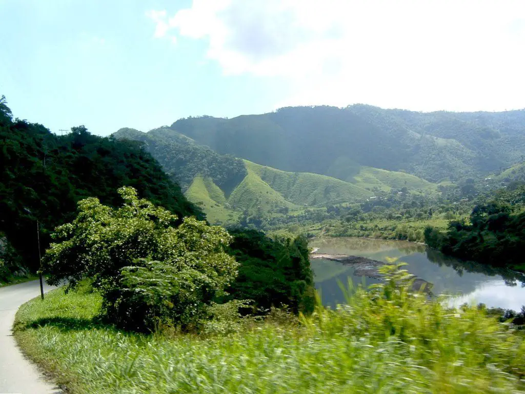
The Chamelecón River in Honduras, Central America, is a fast-flowing river. Along its 200-metre course, its waters irrigate Copán, Santa Bárbara and Cortés, three of the country’s eighteen departments. It is currently at high risk from pollution.
Indice De Contenido
River basin. Source and mouth. Course.
It flows through narrow areas, which means that it is not a fast-flowing river, but it has shallow waters and fairly fast currents. Its length is over 200 kilometres, as is the surface area of its basin. It is susceptible to rainfall, which causes its water level to rise considerably (see: Huallaga River).
Source
Its source is known to be in the department of Copán, in the west of the country. Its basin is known as the Cuenca Hidrográfica del Río Chamelecón.
The route
From its source, the Chamelecón River runs for 200 km in its basin from the eastern side of the Merendón mountain range, through Santa Rosa de Copán, its source, and flows through the departments of Copán, Santa Bárbara and Cortés, to run parallel to the Santiago River along the slopes of Mount Omoa, separated by a line of hills, to the south, and from there to its mouth at the lowest point of the Sula Valley, Laguna de Alvarado, towards the Caribbean Sea.
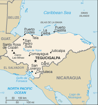
The map
See its route on this small map. Santa Rosa de Copán, source and Laguna de Alvarado in Puerto Cortés, its mouth.
You can also see the different localities of the Republic of Honduras, highlighting its capital, the Central District, made up of Tegucigalpa and Comayagua.
Cerro Las Minas is the highest mountain in the country, at 2870 metres above sea level.
Estuary
The Alvarado Lagoon, in Puerto Cortés, is a jewel for birdwatchers to photograph, draw and video, as it has an extensive variety of birds that can be seen on the trees and mangroves.
The Sula Valley is home to important Honduran cities such as San Pedro Sula, El Progreso, Puerto Cortés, Villanueva, as well as the Ulua and Chamelecon river basins, which make it a high-risk area for flooding during the rainy season.
Importance of the Chamelecon River
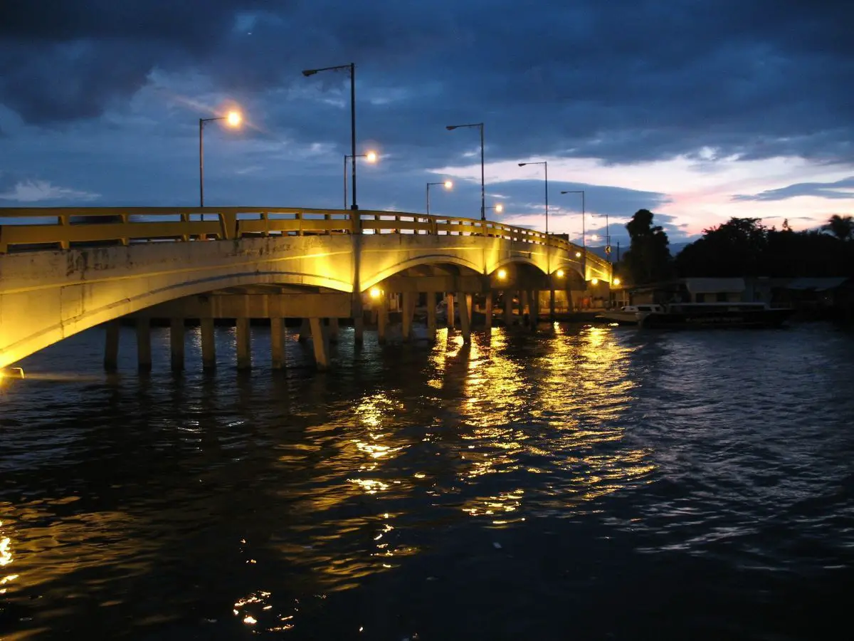
The Chamelecon River is navigable. This has an impact on the importance of the river for the commercial sector, both industrial and private. Motor boats of various sizes and canoes can navigate it. Its waters irrigate valleys and banana plantations, one of the country’s potential export products. It also covers protected areas such as the country’s nature reserves. (See: Guadalquivir River).
Another of its advantages, and the most important one, is that it supplies drinking water to important cities such as San Pedro Sula, one of the most populated. Most of the water consumed comes from the aquifers, which in turn are used for agricultural plantations, human, vegetable and animal consumption.
Flora and fauna
Located in Honduras, its natural environment is made up of forests, which cover an area of 43,352 square kilometres. There are different types: Rain forest, cloud forest, dry forest, mangrove forest and pine forest. Around the Plátano River there is a rich variety of flora and fauna (see: Río Lempa).
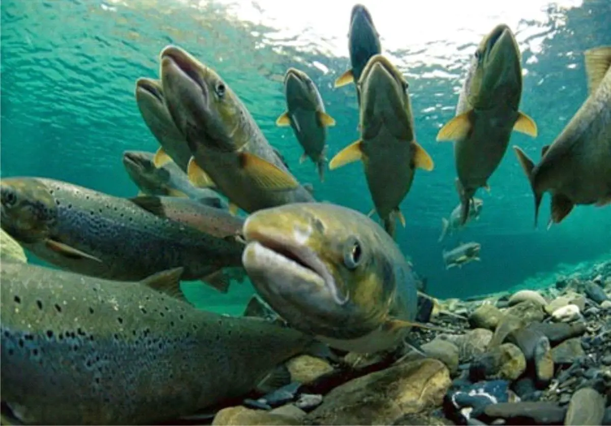
Coffee and tobacco production is important in the Copán area, as is cattle ranching on a smaller scale. Towards the Sula Valley, the fishermen of Barra de Chamelecón yearn for the fishing they used to do almost 20 years ago, before the industrial textile industry was installed in their waters. They say they used to catch catfish, tuna, sardines, coalfish and even salmon for their own consumption and for sale. (See: Río Maule).
Pollution
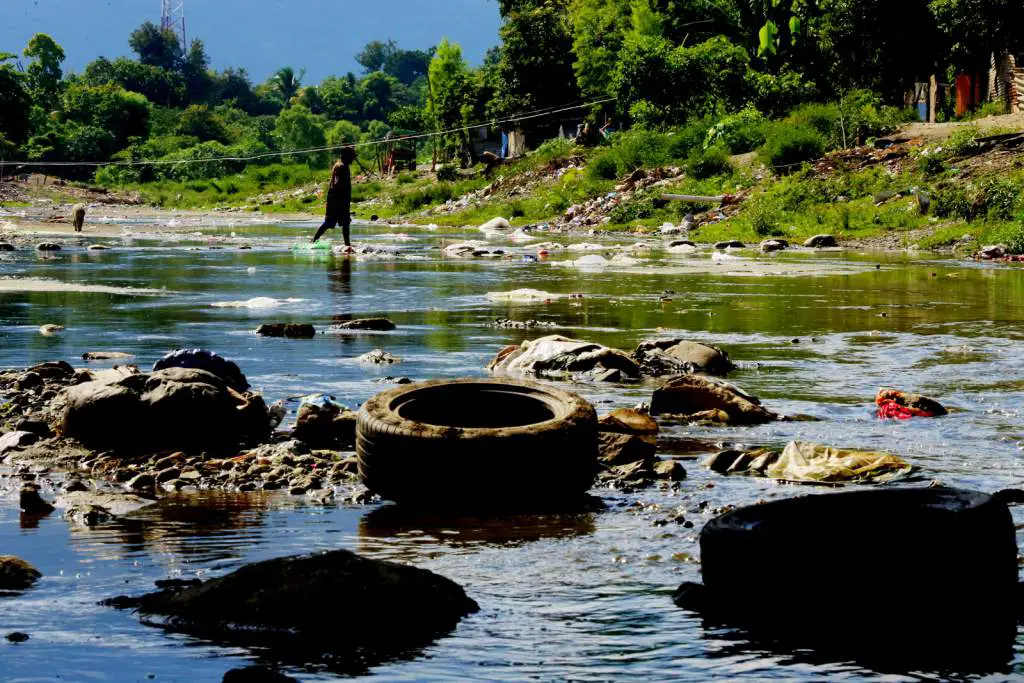
Unfortunately, as in many countries of the Americas and the world, its serious problem is the misuse and exploitation of water; the rivers are dumping grounds for domestic and industrial waste, pesticides and pollutants of all kinds. Sewage is dumped uncontrolled into the river (see: Río Rin).
San Pedro Sula, to name but a few, has turned the Chamelecón River into a sewer, due to its accelerated and uncontrolled population growth, the lack of culture of its inhabitants and the absence of an essential sewage treatment plant. The bad smells and the unpleasant sight for tourists make it an urgent matter to save the tourism sector and, above all, the drinking water.
https://youtu.be/C4UVhWg7pDY?t=93
Flooding
Less than a month ago, in October 2017, a 24-hour yellow alert was activated in several localities in Honduras that would be affected by the flooding of the Ulúa and Chamelecón rivers. As a precaution and warning, residents were warned to report any abnormalities in their homes, such as cracks, risk of landslides and rising water levels in the river near their homes.

