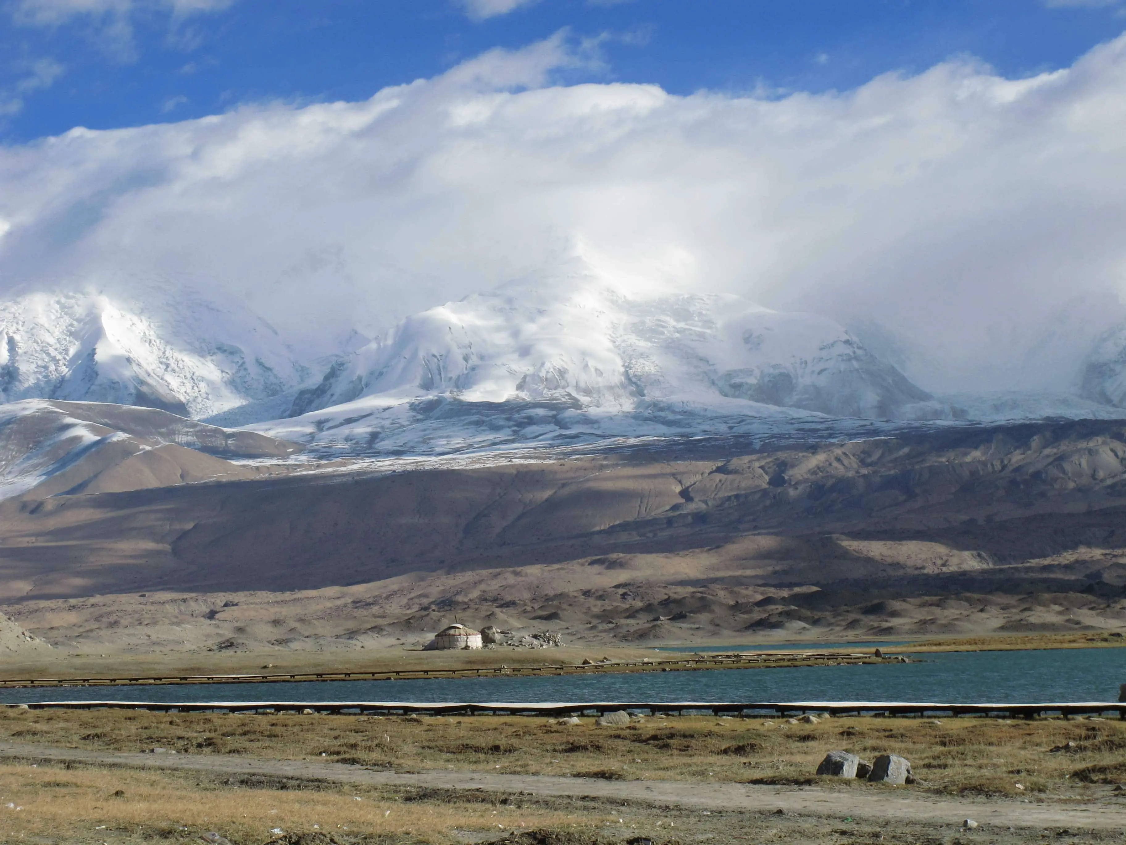
Its name in the Indo-European or Sanskrit language means “the son of Brahma” or “the son of God” in our language. The Brahmaputra begins its journey at Mount Kailash in the Himalayas on the Asian continent, flows through part of India and ends in the Bay of Bengal in the Republic of Bangladesh in South Asia (see: Ganges).
Its name means “son of Brahma”, the god of Hinduism, a polytheistic religion of Indian origin. The river is also worshipped by Buddhists and Jains. It is called the Yarlung Zangbo in Tibet and the Jamuna in Bangladesh.
But who could fail to pay homage to this spectacular natural jewel? Set against the backdrop of the Himalayas, it is a divine and sacred gift from God. They see it as a symbol of unity, peace and brotherhood among the people living in the lower reaches of the river. The Brahmaputra starts in China, Asia, and flows towards India and Bangladesh, Asia.
Indice De Contenido
Location and course
After leaving the Himalayas, the Brahmaputra flows through Tibet on the south-eastern side, at an average altitude of 4,500 m above sea level, to reach India from the north-east. It is worth noting that this journey of approximately 1,200 km may be the highest river journey in the world (see: Mekong River).
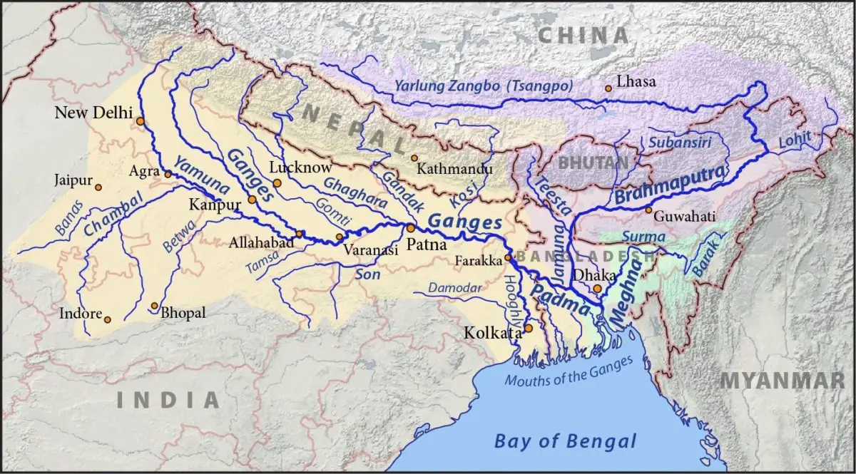
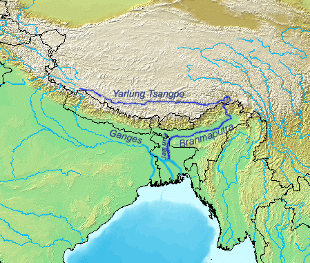
Brahmaputra River Map
In this map you can see several rivers in Asia and in particular the Brahmaputra, which has different names depending on the region it flows through.
Brahmaputra River Basin
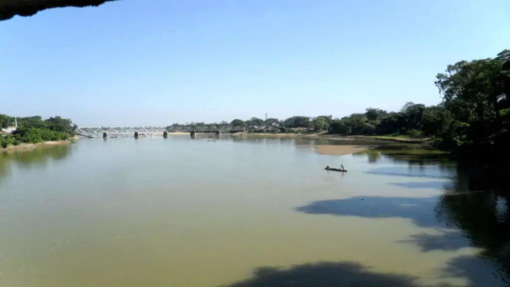
The Brahmaputra River is a spectacular natural landscape with dazzling flora and fauna, attracting thousands of tourists every year for boat rides, car rides and even elephant rides!
Wildlife
Rhinos, elephants, water buffaloes and even wild and ferocious tigers are a common sight in the Assam Valley, while deer, river dolphins, land turtles and many birds are a little less intimidating. The river is navigable, allowing long boat trips and cruises along its banks. In the very cold, icy areas you can see Tibetan black bears, flying squirrels…
Flora
In the Ganges delta there are mangrove forests, home to the Bengal tiger. In the wetter areas, bamboo, acacia, mango and palm trees predominate (see: Grijalva River).
Crops
Barley, peas, jute, wheat, rice, sugarcane, mustard, mango and papaya trees are grown throughout the basin. Bamboo is found along most of its length.
Brahmaputra River Delta
As it flows through India, where it is the largest river in existence, it joins the Ganges and the Meghna to form the world’s largest river delta in the Bay of Bengal, Bangladesh. Known as the Sundarbans National Park, it covers an area of approximately 1,400 square kilometres and is a World Heritage Site. The delta has an area of about 60,000 square kilometres.
Threats to the Brahmaputra
As a result of deforestation in the upper reaches of the basin, the Brahmaputra has gained erosion-prone land, which is beneficial for the formation of fertile sandbanks, but has the downside that silt or sediment, when mixed with high tides and tropical cyclones, can cause severe flooding.
The Himalayas: Origin of the Brahmaputra
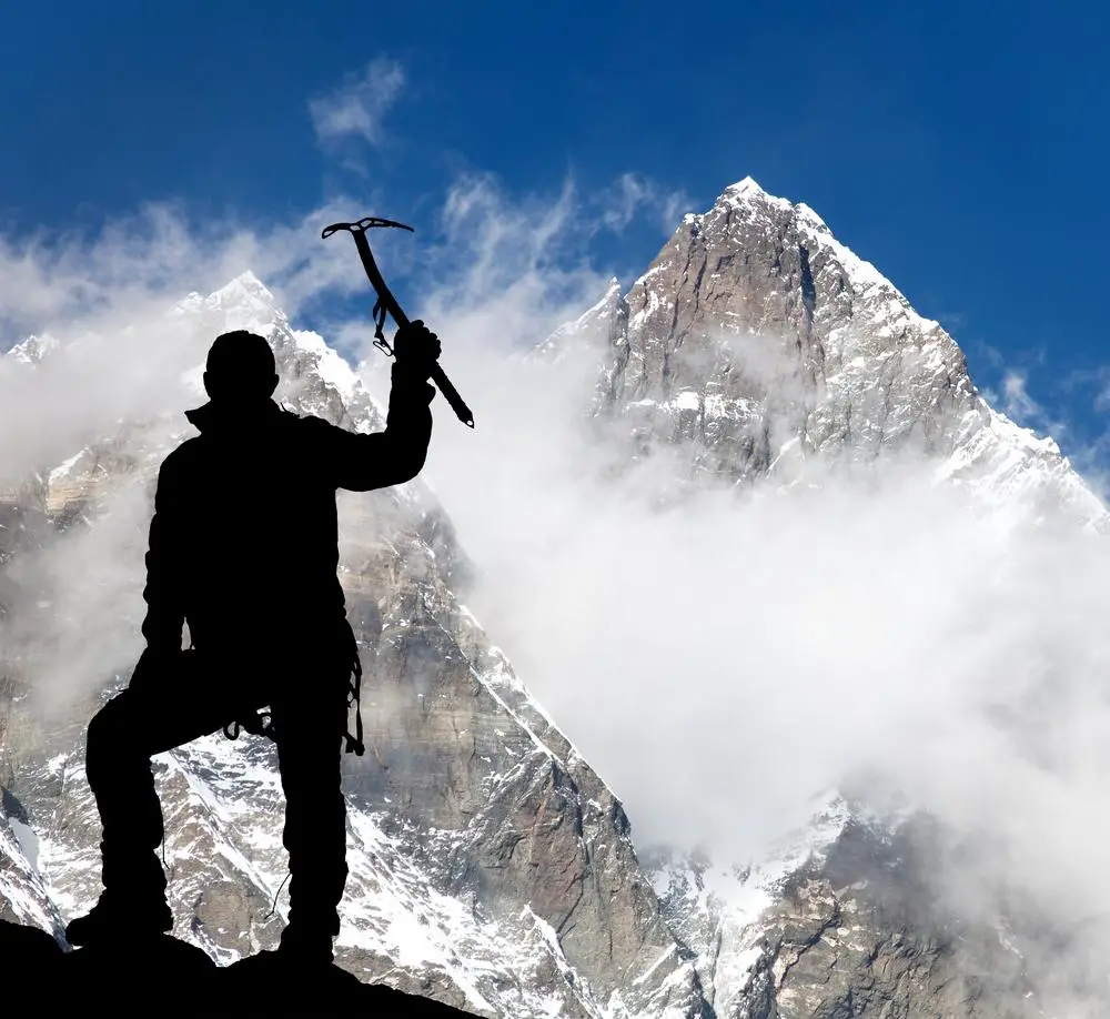
The word comes from “Hima”, meaning snow, and “laya”, meaning place, in the Sanskrit language. It is a group of more than one hundred (100) mountains over 7,000 metres and a further fourteen (14) peaks over 8,000 metres above sea level. The most prominent of these mountains is Everest Peak at 8,848 metres, the highest in the world (see: Yellow River).
The longest known rivers, such as the Ganges, Indus, Brahmaputra, Yamuna and Yangtze also originate here. Many of these mountains are revered by Buddhists and Hindus. The mountains are snow-capped all year round and are surrounded by glaciers, including the world’s largest, the Siachen, and others no less important, such as the Gangotri and Yamunotri, which give rise to the Ganges and Lamuna.
Bay of Bengal: where the Brahmaputra ends
The Bay of Bengal lies in the north-east Indian Ocean. It has an area of more than two million square kilometres (2,000,000 sq mi) in a triangular shape. It is drained by the Brahmaputra and the Ganges, two of the most important and powerful rivers in Asia.
It has in its history the episode of being attacked by the Japanese during the Second World War. The port of Calcutta is located on its banks and fishing can be practised in its waters.

