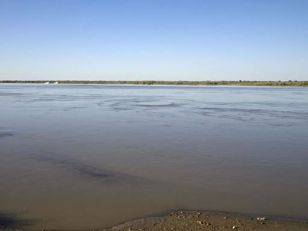
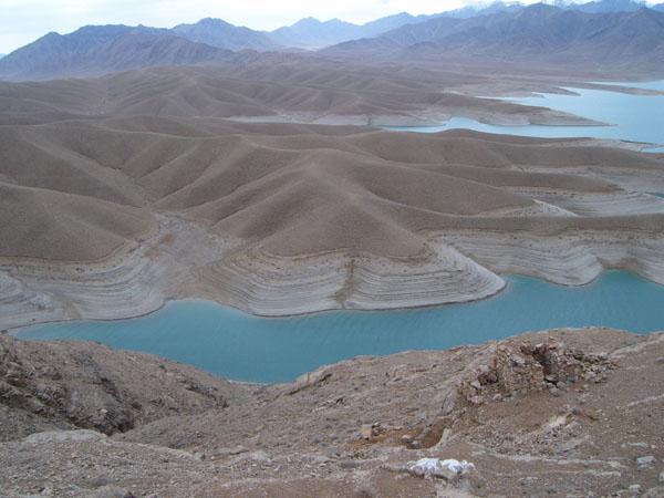
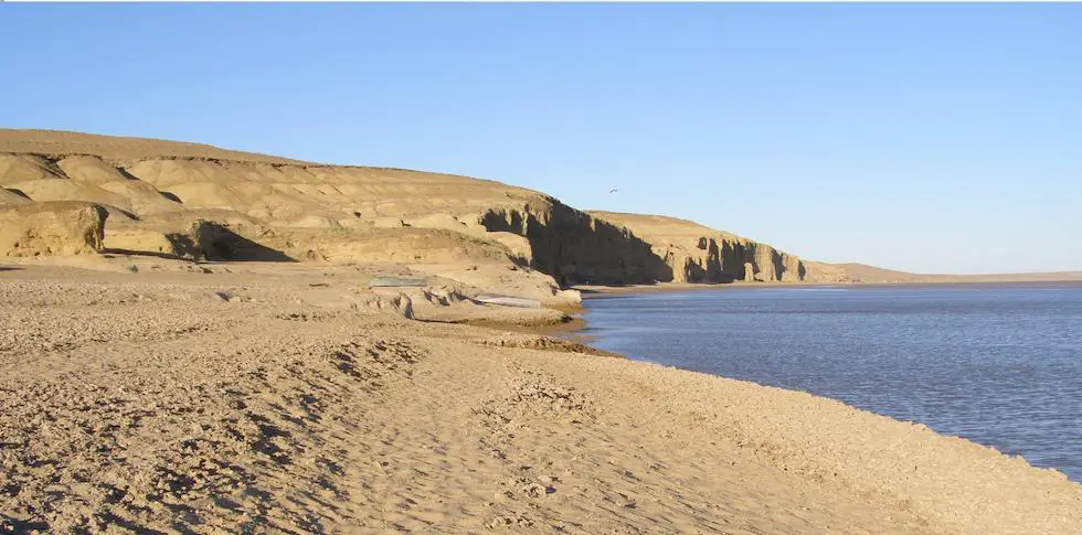
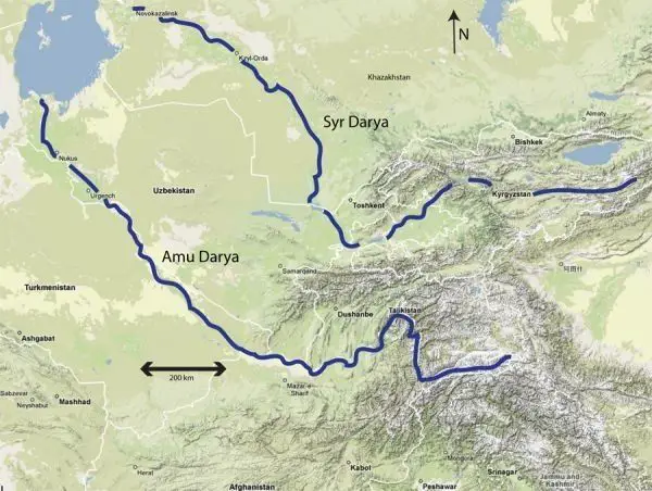
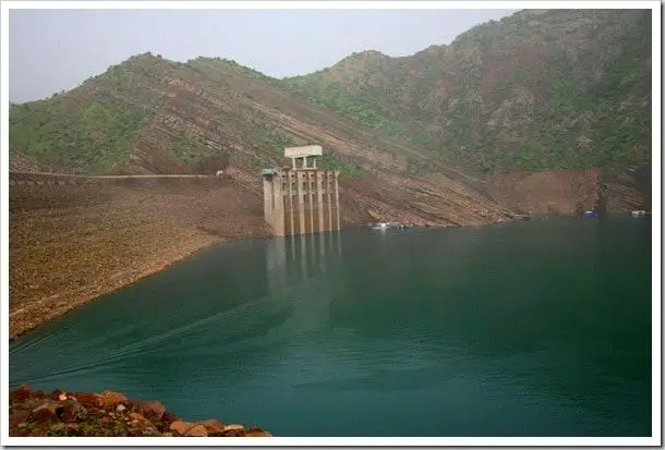
The Amu Darya, a river of Turkmenistan Amyderya, Uzbek Amudaryo, formerly known as the Oxus, is one of the longest rivers in Central Asia. The Amu Darya was traditionally known in the Western world in Greek and Roman times as the Oxus, and the Arabs called it Jayhun.
Indice De Contenido
History of the Amu Darya
Before the 1970s, the Amu Darya branched into a number of tributaries that flowed through an extensive delta into the Aral Sea. However, the Soviet government began diverting massive amounts of water from the river in the 1950s to irrigate cotton and other crops in the lower reaches of the river (see article: The Third River).
The main section of the Karakum Canal was completed in the 1960s to carry water from the Amu Darya at Kerki, Turkmenistan, westwards to Mary and Ashgabat. The diversion of water from the Amu Darya for irrigation reduced the amount of water entering the Aral Sea, which began to shrink as a result.
Increased irrigation in the hot, dry floodplains of the Amu Darya and adjacent regions led to evaporation, leaving salt deposits that made the soil infertile. Surface runoff transported these salts to surface waters, increasing the salinity of the Amu Darya.
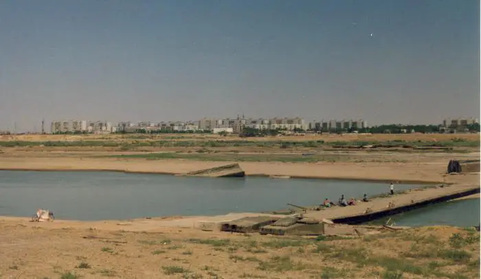
By the first decade of the 21st century, the southern shore of the Aral Sea had receded many miles from the former Amu Darya delta. The lakes and wetlands fed by the river in the delta area were reduced to a small percentage of their former size.
Etymology of the Amu Darya
The river is thought to derive its present name from the city of Amul, which is said to have occupied the site of modern Türkmenabat (formerly Charyev) in Turkmenistan. However well known it was in ancient times, the river received little attention in Europe until the reign of Peter the Great, Tsar of Russia (see article: Good River).
Although the first relatively authentic map of the river was made in 1734, systematic exploration of the region did not begin until the late 19th century. In the late 1920s, a map of the entire Amu Darya basin was published in Tashkent.
The Amu Darya River Basin
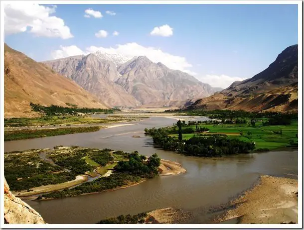
The Amu Darya River is formed by the confluence of the Vakhsh and Panj (Pyandzh) Rivers (at which point it is known as the Amu Darya) and flows west-north-west. In its upper reaches, the Amu Darya forms part of Afghanistan’s northern border with Tajikistan, Uzbekistan and Turkmenistan (see article: Tuxpan River).
It then flows through the desert of eastern Turkmenistan and in its lower course forms part of the border between Uzbekistan to the north-east and Turkmenistan to the south-west. The Amu Darya is 879 miles (1,415 km) long, but its length is 1,578 miles (2,540 km) when measured from the sources of its main tributary, the Panj River in the Pamir.
Historically, the Amu Darya flowed into the Aral Sea, but the diversion of water from the river for agriculture in the 20th and 21st centuries has contributed to the shrinking of the Aral Sea and ensured that the river no longer reaches its historic terminus.
Not far below the confluence of the Panj and the Vakhsh, the Amu Darya is joined by three other tributaries: from the left (south) by the Qondūz and from the right (north) by the Kofarnihon (Kafirnigan) and the Surkhan.
After leaving the highlands, the river turns northwest to cross the arid Turan Plain, where it forms the boundary between the Karakum Desert to the southwest and the Kyzylkum Desert to the northeast. The Amu Darya loses much of its water in this region through irrigation, evaporation and seepage.
The Amu Darya basin extends 600 miles (950 km) from north to south and over 900 miles (1,450 km) from east to west. It is bounded by the Sir Daria Basin to the north, the Tarim Basin to the east, and the Indus and Helmand River basins to the south.
Of the basin’s total area of 179,700 square miles (465,500 square km), only half lies within its headwaters, the Pamir and Hindu Kush mountain ranges to the east.
Hydrology of the Amu Darya
The flow of the Amu Darya increases from March to May as snow melts in the plains and rainfall increases, and the flow increases further in summer as ice and snow melt in the mountain ranges. The flow gradually decreases from September to February (see article: Volcano River).
In winter, ice forms on the banks of the upper reaches of the river and the lower reaches can freeze over for more than two months. When the ice floes begin to disperse in February and March, they block the river in its lower reaches, forming a natural dam.
These dams sometimes burst catastrophically, causing major flooding. The river’s flow is stable in its upper reaches, but much less so in its lower reaches. The river has a high sediment load.

