Ecuador has more than 2,000 rivers that flow through its territory between mountains, forests and plains, making it a natural paradise with beautiful tourist attractions. The Aguarico River is one of them.
Indice De Contenido
Location and map of the Aguarico River
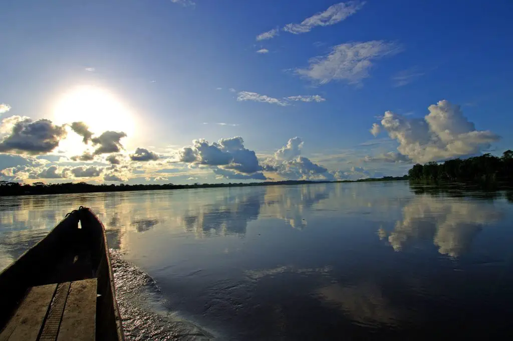
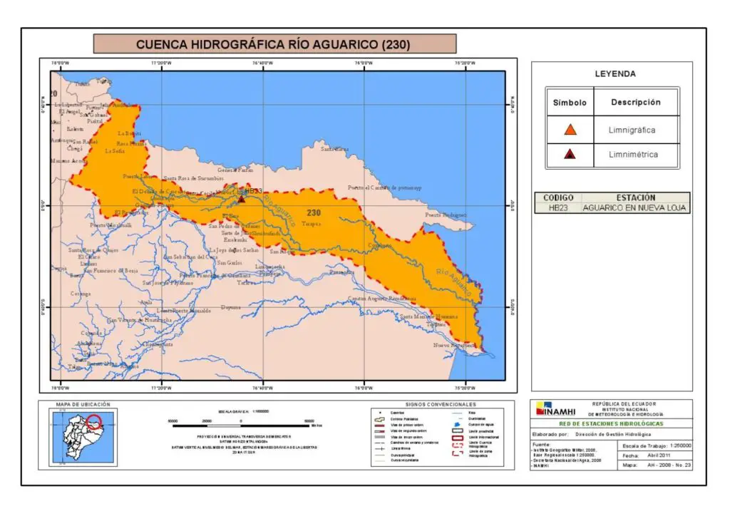
The Aguarico River is a whitewater river that flows between Ecuador and Peru. It rises in the province of Sucumbios, in the Pamampiro mountain range, at an altitude of 4,000 metres above sea level, in the Ecuadorian Amazon, a few metres from the Zancudoconcha lagoon in the canton of Cuyabero.
It is 390 kilometres long and crosses the province of Sucumbios in northern Ecuador, the last 50 metres of which form the natural border between that country and Peru, in the department of Loreto and near the Cuyabero Fauna Production Reserve, to reach the town of La Pantoja.
The Aguarico River, from its source in the eastern mountain range to its mouth in the Napo River, is fed by the waters of the Chingual, Due and Lagarto-Cocha Rivers, and then receives the current of the Cuyabero River. During the rainy season, between January and April, it grows and, at the end of its course, causes damage to some of the surrounding areas.
This river has an excellent climate, with temperatures between 25º and 30º C. Its riverbed descends from 4,000 metres to 1,200 metres and even reaches 600 metres in some areas of the Chufan, in the municipality of Durino.
Ecosystem of the Aguarico River
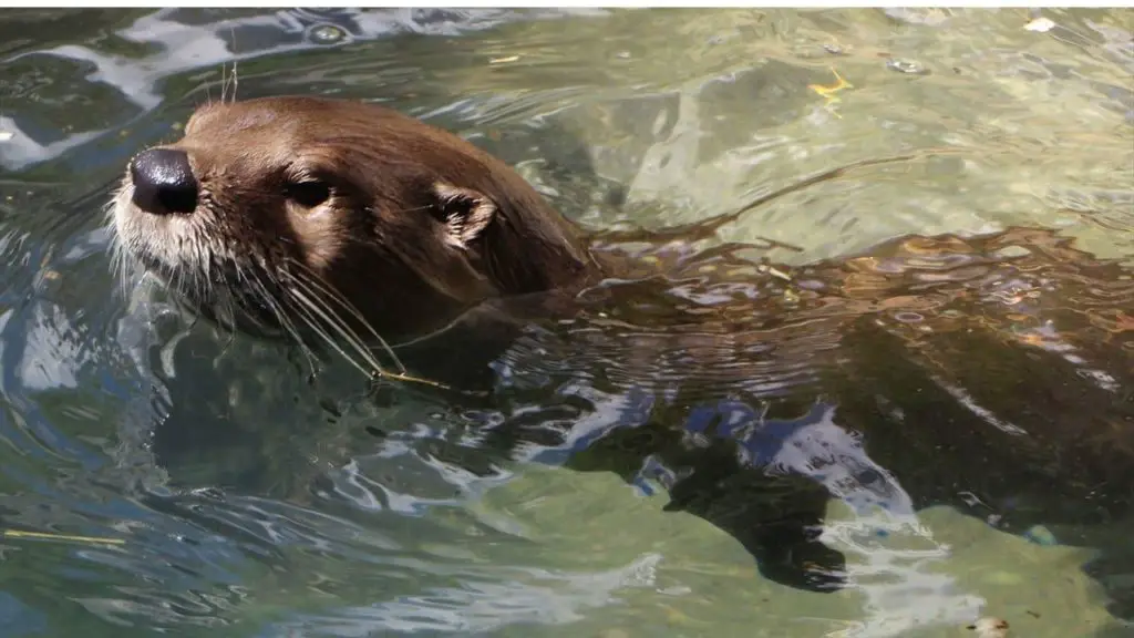
Located in a jungle area, the Aguarico River has a very varied fauna, which includes a large number of colourful and scattered birds (see also Saladillo River), butterflies, the pink Amazon dolphin, which is the main attraction of the place, the manatee, giant otters or river otters, bats, pumas, jaguars, giant anteaters, tapirs and ocelots, among other autochthonous and striking species.
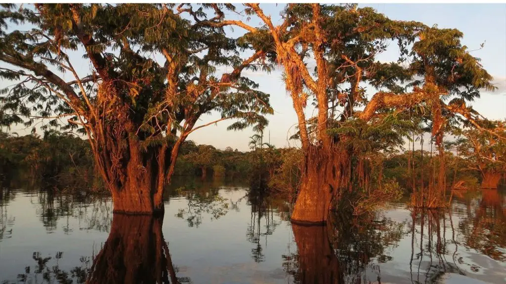
The region of the Aguarico River has an enormous forest with trees and shrubs such as cedar, guayacán, guarumo, ceibo, moral, caripona, guacamayo caspi, laurel, platanillo, caña brava, higuerón, pambil, guabas, morete, sangre de gallina, hunguragua, many of which are used for industrial, medicinal and horticultural activities.
Cuyabeno Fauna Reserve
The fauna that lives on the banks of the Aguarico River is protected by the Cuyabeno Fauna Production Reserve, considered to be the largest lake system in Ecuador. It concentrates the waters that flow down from the plains, as well as from the lagoons and other nearby floodplains.
Activities on the Aguarico River
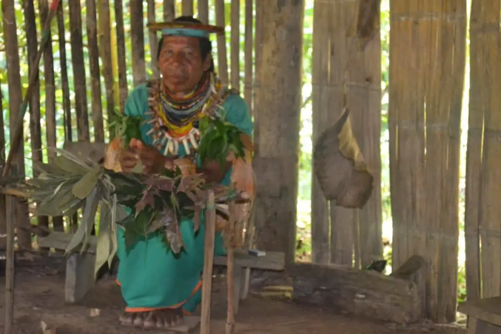
It is worth mentioning that Ecuador still has a large number of indigenous communities (see also Jiboa River), in this case the descendants of the Siona ethnic group, whose official language is Paicoca and Spanish. There are around 51 indigenous families who hunt and fish, while others live in the neighbouring villages along the Aguarico River.
On the other hand, the main towns along the Aguarico River are Sucumbios, Santa Cecilia, Aguarico, Televe, Dureno and Nueva Loja, the latter being a large city with important commercial activities due to oil extraction. The last stretch of the river crosses the province of Orellana to the border with Peru, at Pichincha, Progreso and Castaña, above Pantoja.
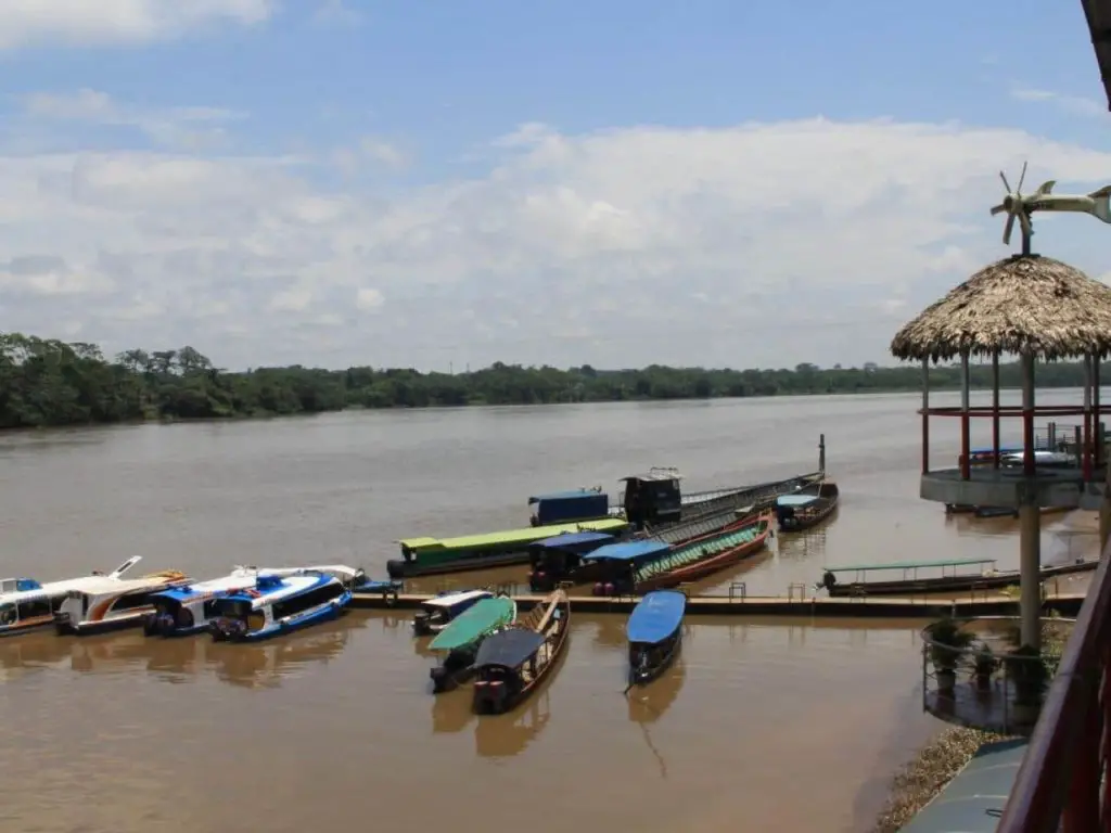
The Aguarico River is used by large vessels of various types, especially those carrying tanks and heavy machinery used by oil companies, the main industry and mainstay of Ecuador’s economy.
In other stretches, the quiet and beautiful sandy beaches of the Aguarico River make this a true tourist paradise, with lush vegetation and a warm climate for those seeking relaxation. Located in the Ecuadorian Amazon, they are ideal for swimming, kayaking, jet-skiing and canoeing competitions, which are an excellent tourist attraction for locals and foreigners visiting the area.
Chonta Festival
It is traditional for the inhabitants of the Aguarico River to celebrate the Fiesta de la Chota in April, an ancestral ceremony to honour their ancestors and give thanks for the provision of food. It is the occasion for the matache, or oldest elder, to appear and, with herbs and prayers in his native language, ward off evil spirits from the place.
Aguarico River Bridge
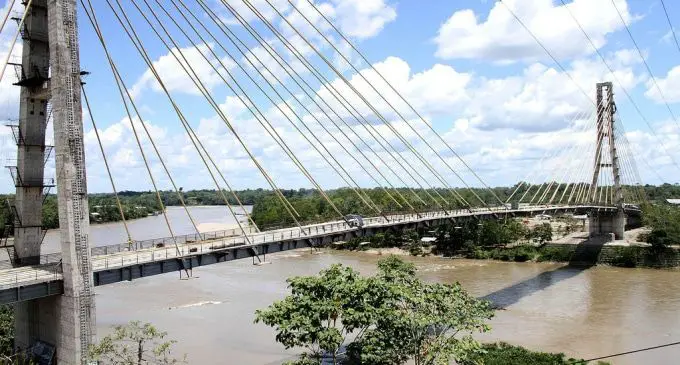
The construction of the cable-stayed bridge over the Aguarico River is the work that the inhabitants of the region have been waiting for, as it now connects the towns of Sucumbíos, Orellana, Napo and their surrounding villages (see also Guayas River) in just a few minutes.
This work of great importance to the region has a total length of 440 metres and was completed in 2013 at a cost of approximately 25.3 billion dollars.
Pollution
One of the problems we are constantly dealing with is pollution. Although we try to educate the locals as much as possible, with leaflets and so on, we are not able to eliminate the problem completely. This includes not only the river, but also the indiscriminate cutting of wood.
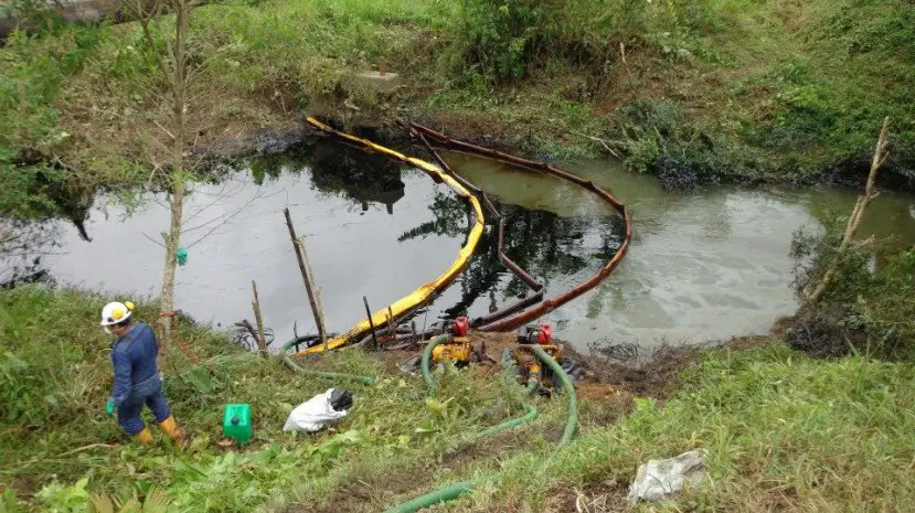
In 2014, an accident caused a large spill of oil barrels that had contaminated part of the tributary. Thanks to the hard work of professionals in the area, a large part of the problem has been eliminated.

