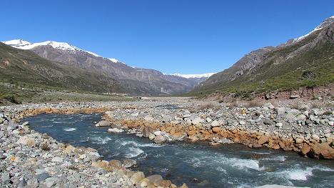
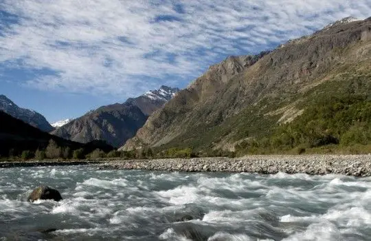
The Tinguiririca River begins as the Las Damas River near the border with Argentina. The headwaters of the Tinguiririca / Las Damas were made famous by a Uruguayan rugby team that crashed on the glaciated slopes of the Tinguiririca volcano in 1972. After a few days they ran out of food and had to resort to cannibalism.
Their epic story of survival was captured in the film and book ¡VIVO! The Tinguirica volcano is still active, having last erupted in 1917, and the region is seismically active. Across the border in Argentina is the famous ski resort of Las Leñas (see article: Río Cachapoal).
Indice De Contenido
History of the Tinguiririca River
From the Tinguiririca River to the south bank of the Maule River, cultural differences were observed between the groups who inhabited the coast, valleys and mountains, as well as those who moved seasonally through these areas.
When the Spaniards arrived in central Chile, the indigenous resistance was aimed at maintaining control of the valleys and plains by positioning groups of warriors in strategic, well-fortified points; this war of the forts or pukaras was particularly intense between 1541 and 1544 (see article: Río Huasco).
During this period, local chieftains formed alliances to fight the Spanish conquest, and their people took refuge in the fortresses with the necessary provisions. The removal of crops and livestock from traditional indigenous lands to fortified mountain outposts limited the food available to the Spanish in these places.
As the Spanish resisted the Pukara wars waged against them by chiefs Michimalonko, Tanjalonko, Vitacura and Cateloe, more indigenous groups moved south into the Maipo Valley, increasing the threat of a full-scale attack.
To prepare for such an event, the colonists made political alliances with other indigenous chiefs, such as Quilicanta, who offered Valdivia four hundred warriors to fight against Michimalonko.
Location and map of the Tinguiririca River
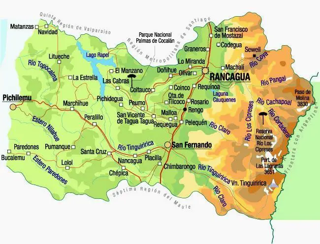
The Tinguiririca River is a river in Chile, located in the region of General Libertador Bernardo O’Higgins. It rises in the Andes at the confluence of the Las Damas and Del Azufre rivers. From its source it flows northwest for about 56 km to the vicinity of the city of San Fernando (see article: San Pedro River).
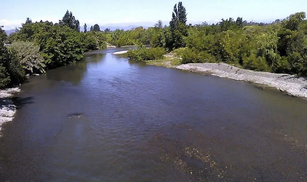
In this part of its course the river receives the waters of the tributaries Clarillo and Claro. The river then flows southwest and then turns northwest to empty into Lake Rapel.
Features of the Tinguiririca River
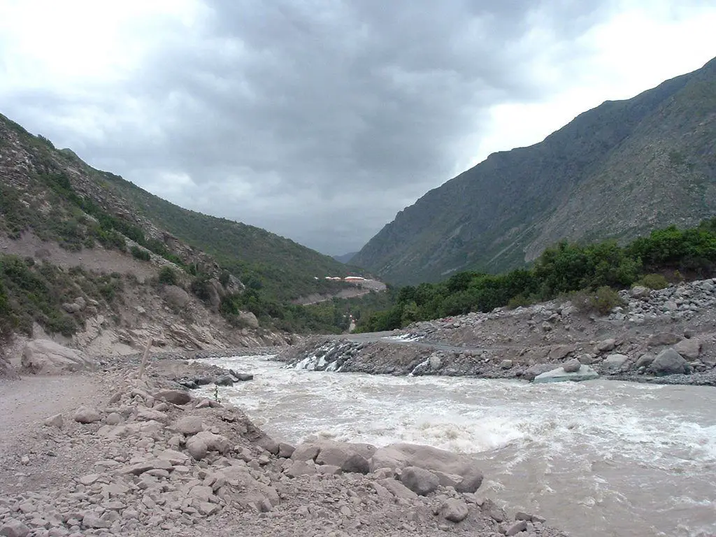
The Tinguiririca River is (was) a classic Chilean whitewater river, offering a section for virtually every level of ability. Unfortunately, the upper reaches of the Tinguiririca, below Termas del Flaco, are undergoing extensive hydroelectric development.
The Tinguiririca state is currently uncertain as a whitewater stretch, as it is undergoing extensive remodelling and water diversion. Like many projects in Chile, it is designed to exploit the country’s natural resources (see article: Mendoza River).
It is also creating an environmental disaster area, resulting in heavy fines for the developer, Pacific Hydro of Australia, and its Norwegian partner, SN Power of Norway. The two companies were looking for more dam sites further up the Tinguiririca valley to exploit the river’s hydroelectric potential.
The Tinguiririca site is 120 miles (200 km) from the centre of Santiago, with the Lower Tinguiririca exit on the Pan-American Highway (Route 5), 120 km south of Santiago. The Tinguiririca sections are marketed as day trips by operators based in the capital.
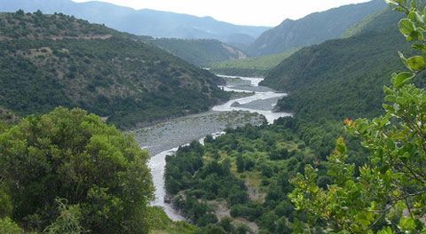
The scenery in the upper and middle Tinguiririca is spectacular, resembling a mini Grand Canyon in the La Confluencia region. The high volume river is deep in a steep gorge with limited access by road.
There are several sections of the Tinguiririca, plan to explore these falls and portage if necessary. The Upper Tinguiririca is undergoing extensive hydroelectric development with the diversion of the river through canals and tunnels.
The impact of these diversions on this kayaking waterway remains unknown. Construction of the La Higuera dam, which began in 2005, is nearing completion. The La Confluencia dam and diversion project is less advanced. Beware of man-made changes and obstacles along the entire upper reaches of the river.
Fishing on the Tinguiririca
The Tinguiririca River has a great variety of fish, and the pejerrey in the Rapel Lake will delight everyone from the tourist apprentice to the professional. Here the professionals compete in sport fishing for Chilean salmon.
Finally, on the beaches of the O’Higgins region, sea fishing concentrates on corvina, sea bass and sole. It is important to note that in some parts of Pichilemu Bucalemu and Matanzas, underwater fishing is also practised.

