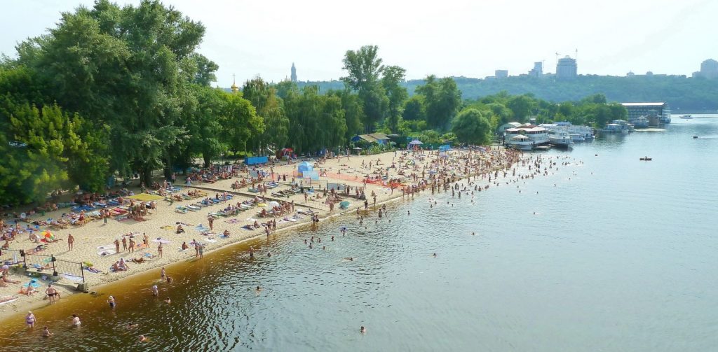
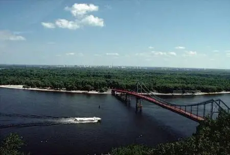
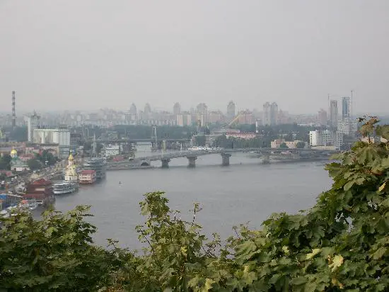
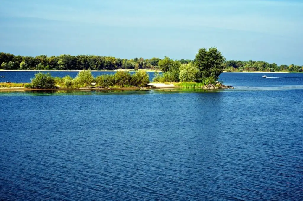
The Dnieper rises to a height of about 720 feet (220 metres) on a small hillside south of Russia’s Valdai Hills, about 150 miles (240 km) west of Moscow, and flows south through western Russia, Belarus and Ukraine to the Black Sea.
For the first 300 miles (480 km) it flows through the Smolensk Oblast (region) of Russia, first south and then west; near Orsha it turns south again and for the next 370 miles (600 km) it flows through Belarus.
Finally, it flows through Ukrainian territory: south of Kiev, southeast from Kiev to Dnipropetrovsk, and then south-southwest to the Black Sea.
Indice De Contenido
History of the Dnieper
The Dnieper basin has been inhabited since ancient times. It played a central role in the history of the peoples of Eastern Europe, particularly in the establishment of the ancient state of Kiev (see article: The Rhine).
Along this waterway, a system of waterways developed between the 4th and 6th centuries as the “Varangian to Greek route”, connecting the Black Sea to the Baltic and linking the Slavs to the Mediterranean and the Baltic.
Half of the Dnieper (about 700 miles [1,100 km]) flows along or through Ukrainian territory, and the river is a national symbol for Ukrainians in the same way that the Volga is for Russians (see article: Douro River).
The first historical information about the Dnieper is recorded by the Greek historian Herodotus (5th century BC); the river is also mentioned later by the ancient writers Strabo and Pliny the Younger.
In 1932, as part of the Soviet Union’s electrification plan, the river’s hydroelectric power station was completed in Zaporizhzhya, in the area of the rapids. It was the largest power station in Europe until the huge power stations on the Volga were built in the 1950s.
Completely destroyed by the German army during the Battle of the Dnieper, the dam was rebuilt in 1947 and its capacity increased. Hydroelectric power stations and reservoirs have also been built on the Dnieper at Kiev (completed in 1966), Kaniv (1973), Kremenchuk (1961), Dniprodzerzhinsk (1965) and Kakhovka (1958).
Characteristics of the Dnieper
The Dnieper Basin includes the Volyn-Podilsk Plain, the Belarusian Ridge, the Valdai Hills, the Central Russian Highlands and the Smolensk-Moscow region. The centre of the basin consists of extensive lowlands (see article: Turia River).
The basin is covered with moraine and fluvioglacial deposits in the forest area and partly in the forest-steppe zone, and with loess in the steppe. In some places, where the basin borders on the Bug and West Dvina river basins, there is a flat marshy area.
This made it easy to cut water connections from the Dnieper to the neighbouring rivers in ancient times. In the late 18th and early 19th centuries, the Dnieper was connected to the Baltic Sea by several canals (see article: Ohio River).
The Dnieper-Bug canal, which ran along the Pripet, Bug and Vistula rivers; the Ahinski canal along the Pripet and Neman rivers; and the Byarezina water system through the Byarezina and western Dvina rivers. These canals later became obsolete.
Physiography
The Dnieper is usually divided into three parts: the Upper Dnieper to Kiev, the Middle Dnieper from Kiev to Zaporizhzhya (Ukraine), and the Lower Dnieper from Zaporizhzhya to the estuary.
The upper Dnieper catchment is mainly forested, with peat-podzolic soils (replaced by podzolised grey forest soils in the southern part of the upper reaches).
The upper Dnieper is characterised by excessive moisture and large swamps. The river network is well developed in this area, where about four-fifths of the basin’s annual runoff flows, and the longest tributaries with the highest runoff (Byarezina, Sozh, Pripet, Teteriv and Desna).
Flora and fauna of the Dnieper
The Dnieper has a diverse aquatic flora and fauna. In its upper reaches, the plankton consists mainly of diatoms and protococci algae, rotifers and bosmina. The blue-green algae come from the Pripet estuary.
In its lower reaches, the amount of plankton decreases sharply under the influence of the reservoirs. More than 60 species of fish live in the Dnieper. Commercially important species include pike, roach, chub, ide, rudd, bream, tench, barbel, barbel, alburnus, golden shiner, goldfish, carp, catfish, burbot, pikeperch, perch and ruff.
In spring, the lower Dnieper serves as a habitat for migratory and semi-migratory fish (sturgeon, herring, roach, etc.). The reservoirs have been artificially stocked with commercially important fish, including whitefish, pike-perch, golden shiner and carp.
The climate
The climate of the Dnieper basin is generally temperate and much milder and wetter than that of the eastern regions of south-west Russia, which lie at the same latitude. The continental character of the climate increases from the northwest to the southeast.
The average annual air temperature is 41°F (5°C) in the upper part of the basin, 45°F (7°C) in the middle (near Kiev) and 50°F (10°C) in the lower reaches of the Dnieper. Winters are long and persistent in the north-east of the basin, while in the south they are shorter and milder, with frequent thaws.
Here is a video about the Dnieper River to learn more about it.

