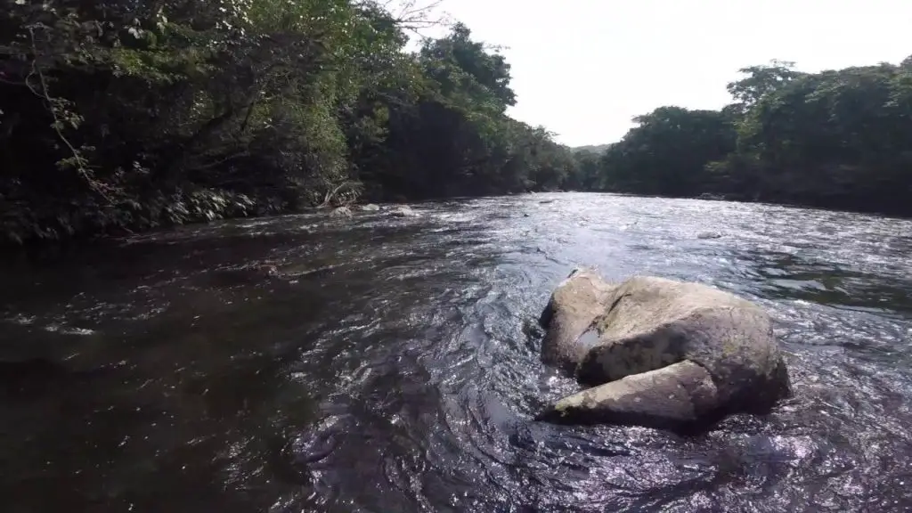
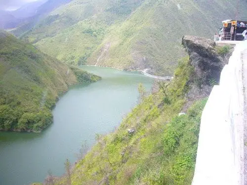
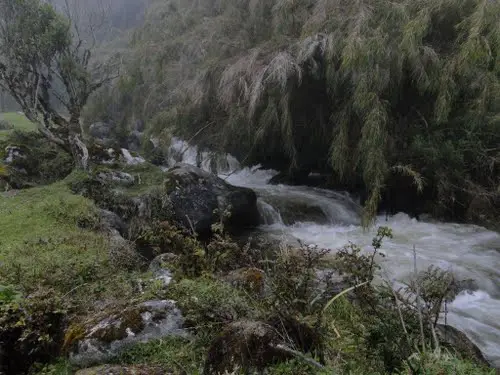
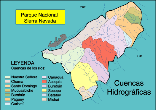
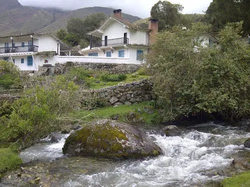
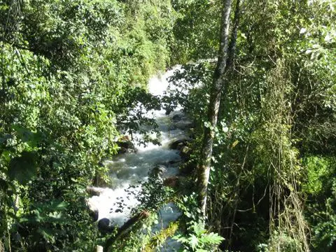
The Santo Domingo River has its source in the Collado del Cóndor, specifically in the Mucubají lagoon in the Mérida highlands. In the state of Merida, it flows into the neighbouring state of Barinas and joins the Aracay River, where the General José Antonio Paez Dam is located.
Indice De Contenido
History of the Santo Domingo River
A study has been carried out to discuss the first cosmogenic 10Be dating of fluvial terraces in the lower reaches of the Santo Domingo River (south-eastern flank of the Mérida Andes, western Venezuela).
Geomorphic observations and dating allowed the temporal evolution of the incision rate to be reconstructed and analysed in terms of tectonic, climatic and geomorphic processes. The long-term incision rate in the area has been consistently around 1.1 mm/yr over the last 70 ka (see article: Itata River).
Taking into account the geological and geomorphological setting, this value can be converted to the Late Pleistocene uplift rate of the south-eastern flank of the Merida Andes. Our results show the process of terrace formation.
In the lower reaches of the Santo Domingo River it occurred more frequently (103-104 years) than a glacial/interglacial cycle (104-105 years). According to the global and local climate curve, these terraces were abandoned during warm and cold transitions.
Characteristics of the Santo Domingo River
The Santo Domingo River has its course between the Andean mountains, between Barinas and Mérida, it passes through a village called Altamira de Caceres located near Barinitas and Santo Domingo is an excellent village for its climate and the gentilicio of its inhabitants.
Crossing the bridge at Altamira de Caceres, at an altitude of 800 metres, you can see the Santo Domingo River, 14 kilometres from Barinitas, downstream of the town of Santo Domingo, which is the basin of the river (see article: Río Laja).
Location of the River Santo Domingo
The basin of the Santo Domingo reservoir in the Venezuelan state of Mérida has suffered rapid deterioration in recent years due to increased agricultural activity, urban development and road construction.
Geology of the River Santo Domingo
The Santo Domingo River flows through the Boconó Fault, which has created many slopes in the river basin, causing erosion and several sediment surges that have significantly reduced the reservoir’s storage capacity.
This reservoir is part of the José Antonio Páez hydroelectric complex, whose turbines have been damaged by fine sediment deposition, with a consequent negative impact on hydroelectric generation (see article: Río Cinaruco).
This paper presents a methodology (and results) for estimating the sediment yield of the basin (suspended and bed load), based on the use of mathematical models to simulate the processes that make up the hydrological cycle, laminar erosion and the transit of both water and sediment in the reservoir drainage basin.
Flora and fauna
The climate and the land of the place give us a very varied flora and fauna, the humid environment of the place gives us a great variety of plants and wonderful colours, accompanied by many animals that adorn the place next to the river. Among them we can find deer, pumas, coatis, jaguars, golden eagles, condors, etc.
All these are the factors that decorate this beautiful place and at the same time make it very attractive for tourists and local inhabitants.
Hydrology of the Santo Domingo River
The study is based on the Santo Domingo River to study the water retention capacity of the land in mountainous areas. The present study examines the micro-watersheds of Aguas Regadas and La Capellanía, in the part where the Santo Domingo River originates, in the municipality of Pueblo Llano, in the state of Mérida, Venezuela.
Homogeneous areas were identified using a landscape classification system. The Multiple Homogeneity Index and an analysis of spatial variability identified the variables with the greatest influence on soil water retention (see article: Cazones River).
A water retention index was established and applied to each of the pedogeomorphologically defined units. The water retention capacity of the soils was classified into three classes, good? moderate? and poor, with no areas in the “very good” category.
This suggests that water retention constraints in the selected micro-watersheds ranged from mild to severe. The areas with the least limitations (in the “good” category) were those on moderate slopes or valley bottoms, while the areas with the most severe limitations (poor?) were high mountain areas with rocky outcrops.
The climate is cold, but in the relatively small area of the state of Mérida there are generally several dramatic climatic changes every day. The vegetation is lush and there are many lakes and rivers, many of which are well stocked with trout, one of the delights of Mérida.
Below is a video of the headwaters of the Santo Domingo River in the Frailes sector of the Andean Páramo of Mérida.

