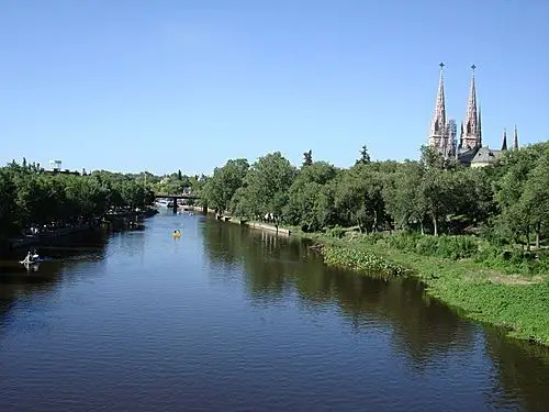
Luján, city and national shrine on the Lujan River, in the northern pampas of Buenos Aires Province, in eastern Argentina. The town was named for the conquistador Pedro Luján, who died there (1536) in a battle with the Indians. Today, the Lujan River is used for fishing on Route 9. If you want to know more about fishing on the Lujan River, read on.
Indice De Contenido
Lujan River map and location
The Lujan River extends from its source near Espora, about 100 kilometres (62 miles) east of Buenos Aires, Argentina, to its mouth in the Rio de la Plata, north of the city. A Megatherium fossil was found here in 1789 (see article: Calle Calle River).
Below is a map of the Luján River showing the exact location of its source, mouth and course.
Luján River basin and elevation
With support from the Canadian Embassy in Argentina, they are working with civil society in the Luján River Basin in Argentina to build resilience to climate change by increasing their participation and influence in the decision-making processes that determine the future of the region.
The wetlands of the Lujan river basin play a key role in regulating and mitigating the effects of floods, preventing erosion and protecting the coast. Many of these services are under threat due to the lack of integrated management of the basin (see article: Atrato River).
One of the most serious threats to the Lujan wetlands is the private gated communities and urban developments that are springing up in the floodplains of the Lujan River.
By building the urbanised areas, workers are draining the natural wetlands, opening up new creeks, altering the course of existing creeks and blocking the natural flow of the rivers.
During a workshop in the city of Luján on 8 November, civil society organisations voiced their concerns about the proposed new flood plan.
The workshop resulted in a position paper and a call for the authorities to consider new approaches, such as natural infrastructure solutions and land use planning, to increase resilience to climate change and mitigate the effects of flooding.
The course of the Lujan River
The Lujan River flows through much of eastern Argentina over a distance of 120 km, crossing the provinces of
Las Mercedes.
Gowland.
Olivera.
Villa Flandria.
Lujan.
Pilar
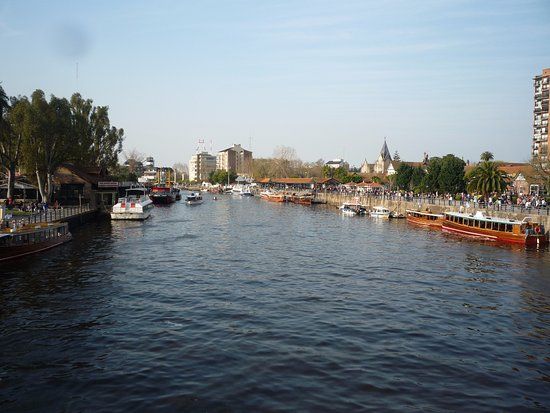
Tourism on the Luján River
Most of the people in the region work in agriculture (cattle raising) and Luján is also an important textile producer. Tourism is another sector of interest, mainly due to the large number of pilgrims who come to the Basilica of Nuestra Señora de Luján to see the image of the Virgin of Luján (see article: Río Oria).
Although the situation has steadily improved in recent years, Argentina’s economy and society are still suffering the consequences of the severe economic crisis that hit the country in 2001. At the time, more than half the population was living in poverty.
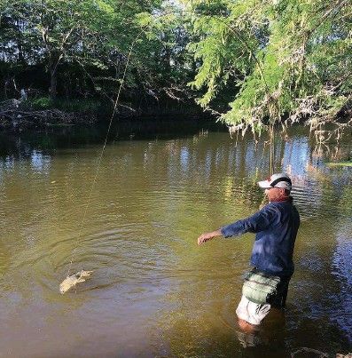
Fishing in the Lujan River
In terms of fishing, there are many places to fish in the Lujan River, as instead of emptying directly into the ocean at the northern shore near Requa, the river now bends sharply to the south, cutting a channel through the north and south spits parallel to the ocean. To fish the Lujan, salmon must swim through this long, narrow passage to migrate upstream, making them easy to catch.
Since the opening of the Luján River to sport fishing on Route 9 on 15 August, more than 3,000 salmon have been caught at the estuary, most of them in just one week, between 20 and 26 August. The limit is three fish per person per day (see Inirida River article).
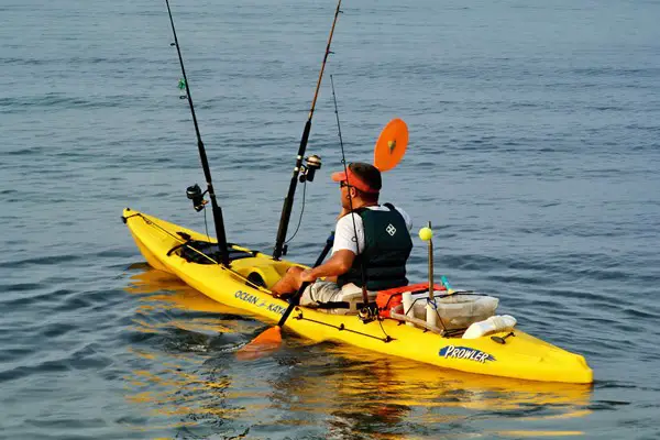
This is in addition to the great variety of other fish species that this river offers and the possibility of fishing from the shore or from a boat. Not to mention the fact that it has smaller tributaries where some daring fishermen choose to fish from kayaks. You can catch tarpon, catfish, dientudos, etc. It is undoubtedly an interesting option that attracts tourists and locals alike.
People come with plastic buckets tied to two-wheeled carts, with burlap bags, with tarpaulins, with pieces of rope, and sometimes with nothing at all, to drag their heavy catches across the sand from the river to the road, and then through a gruelling line of parked trucks to their own equipment.
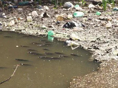
Pollution in the Lujan River
Monitoring of river phytoplankton and various hydrological, physical and chemical variables, combined with bioassays using Selenastrum capricornutum Printz, allowed the characterisation of three distinct reaches of the lower Lujan River.
The upstream reach, characterised by shallower depth and discharge, recorded the highest concentrations of nutrients, dissolved heavy metals and chlorophyll a, corresponding to low phytoplankton diversity and the presence of several species typical of organically polluted lowland rivers.
A subsequent improvement, together with the increased discharge of the River Lujan, is shown by a progressive decrease in organic pollution parameters, although algal toxicity is recorded by bioassays.
The Lujan River today
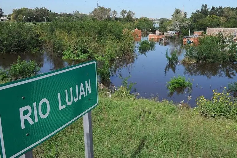
The Lujan River is very high today, due to the recent heavy rains, the authorities are on alert for the state of the river, as it was more than 2 metres above its normal course, and if the rains continue the river tends to grow a little more.

