
The Aconcagua River basin in Valparaiso fills the canals used for agricultural irrigation and is an important resource for Chile’s economic progress. Read on to find out all you need to know.
Aconcagua River
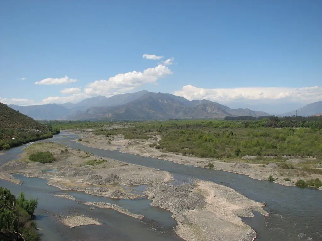
The name of the Aconcagua River means “place of the sheaves”. It has its origin in the confluence of two rivers, the Juncal and the Blanco.
It crosses the Chilean region of Valparaíso from east to west. With a length of about 142 kilometres, it has a basin of about 7200 km2.
It functions as a source, which is considered the most important of a series of canals that form a system and whose water is used to irrigate agricultural activities in the area. The waters of the Guárico River are also used for the same purpose.
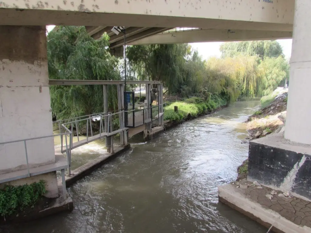
Canal for the irrigation of the Aconcagua River.
This activity is the main source of economic income in the regions named after it:
- Petorca
- San Felipe de Aconcagua
- Los Andes
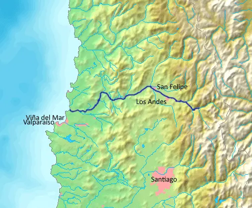
Location and map of the Aconcagua River
The Aconcagua River rises at the confluence of the Juncal and Blanco Rivers. On its way through the region of Valparaíso, it flows through the provinces of
- Valparaíso
- Marga Marga
- Quillota
- San Felipe de Aconcagua
- Los Andes
Being the supplier of water that is channeled to be used for irrigation of the agricultural production developed in this area, which is a high source of economic income in this region that borders the waters of the Aconcagua River. The same applies to the waters of the River Portuguesa.
After its journey through this vast area, it flows into the Pacific Ocean, where it has its mouth.
Map of the Aconcagua River
Aconcagua river basin
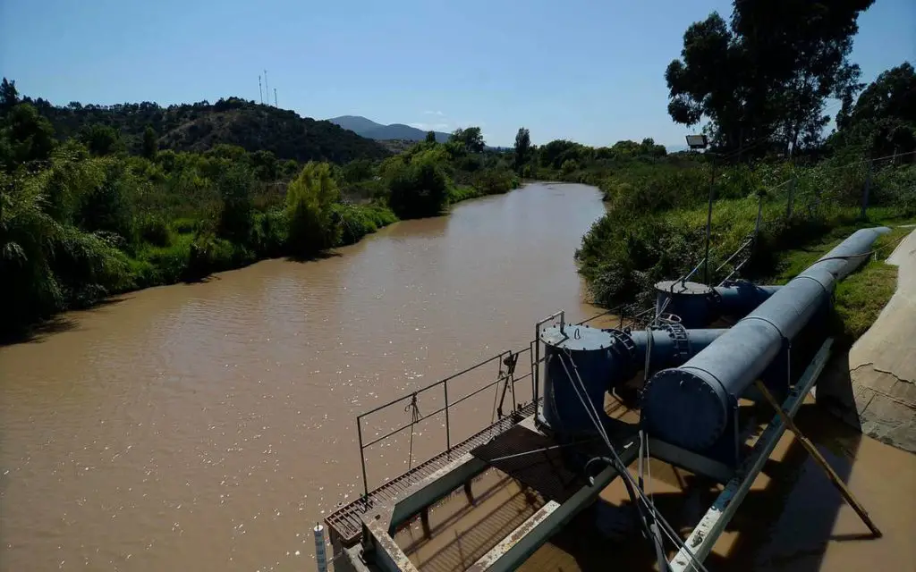
The main channel in this basin is the Aconcagua River itself, which has a surface area of approximately 399,409 metres and an average flow of 33.1 m3/sec.
In its course it is bathed by the waters of the Colorado and Putaendo rivers.
In its upper part, the basin is accompanied by a large number of lagoons. The one that is considered the most important is called Laguna del Inca, which has an area of 1.7 km2.
In the vicinity of the Aconcagua River basin there are about 15 reservoirs, but the one that is considered the largest is the Los Aromos reservoir.
This reservoir has a surface area of around 2.1 km2 and a capacity of around 35 million cubic metres of water.
The waters of the Los Aromos reservoir are used for drinking water.
The basin is divided into 9 aquifers and has 11 fluviometric stations. When it reaches the northern part of the town of Concón, it flows into the Pacific Ocean.
Fishing in the Aconcagua River
Silversides are part of the Chilean fishing culture. They are found with a certain abundance in almost all the Chilean territory, especially in the regions located in the centre of Chile.
The Chilean silverside is characterised by its elongated body, with a black back and silver sides. Its head is quite narrow compared to the rest of the body. It should be noted that it is also fished in the Ucayali River.
Its mouth has no teeth and, when open, is smaller than that of trout of similar size. This means that its diet is concentrated on small invertebrates.
Usually the size is less than a quarter, but it is possible to find silversides that can approach 500 grams. Larger ones are extremely difficult to find.
They are abundant in the Aconcagua River, close to San Felipe, although they can also be found further downstream.
You can also find the trout that are the delight of those who enjoy this sport as much as fishing.
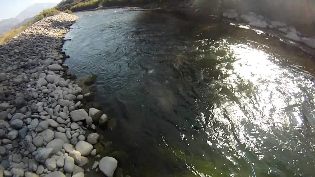
Trout fishing in the Aconcagua Valley
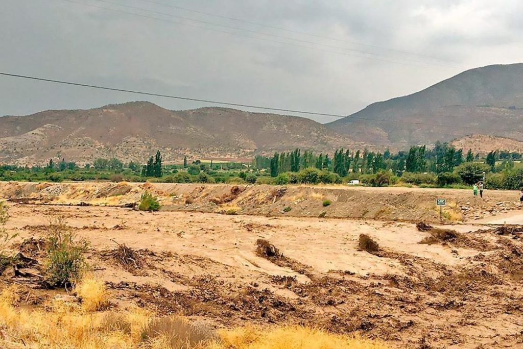
A journey in time through the conditions and dimensions of the Aconcagua River. Where we tell with images a story that is repeated in so many rivers of the planet.
It is imminent that humanity becomes aware of the urgent need to take care of the environment, the ecosystems, the waters and all the nature that surrounds us.
Aconcagua River