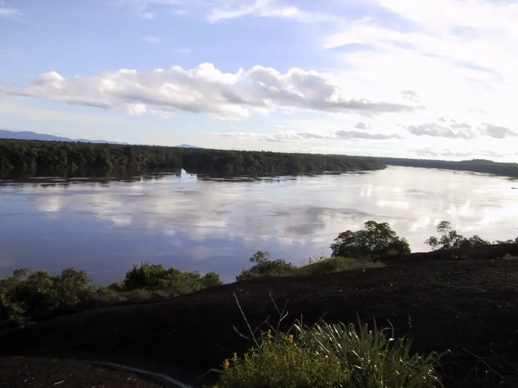
Considered the main tributary of the Rio Negro and the largest contributor to the Amazon, the Vaupés River also forms a natural border with Brazil. Want to know more? Keep reading.
Indice De Contenido
The Vaupés River
As a good Amazon river, it is one of the longest. It is thought to be the main source of water for the Rio Negro. Take a look at the Rio Meta.
It is also the river that provides the most water to the Amazon.
It basically flows through Colombia, in the departments of Guaviare and Vaupés. This is where the Guaviare River is located.
And it flows into Brazil, through the state of Amazonas.
The source of the Vaupés
The source of the river Vaupés is in the department of Guavire. Specifically, to the west of a place called Calamar.
The source of the river Vaupés is at the confluence of the rivers Itilla and Unilla. It begins its journey in an easterly direction. With a special name we have the Rio del Oro.
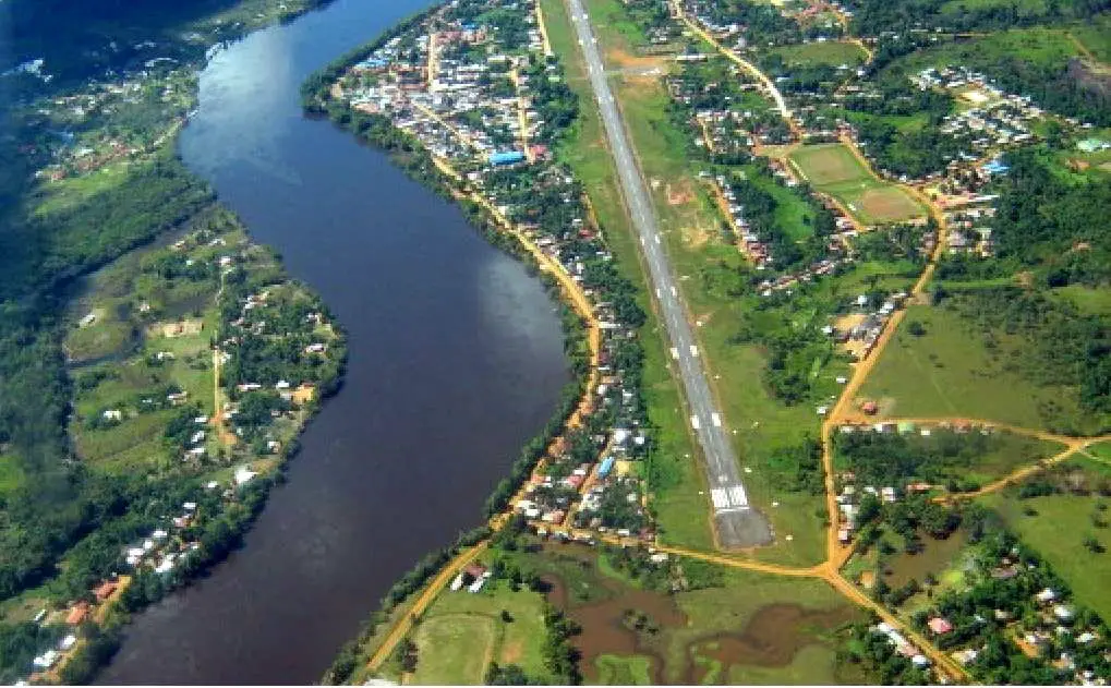
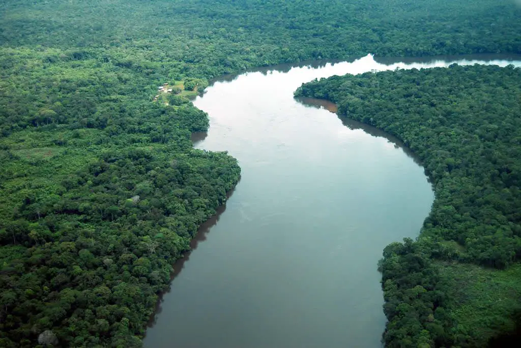
An aerial view of a stretch of the river Vaupés in its great immensity.
This is how its waters settle along the banks of the localities of
- Miraflores
- Puerto Silvania
- Santa Rosa
- Tecuña
- Mitú (capital of the department of Vaupés).
After that, it goes on to receive the waters of the Cuquiari River, on the right side of its banks.
The same happens when it reaches the Brazilian border, where it receives the waters of the Querani River, which flows into the region of the same name.
The course of the Vaupés River
From this town, part of the Vaupés River becomes a natural border between Colombia and Brazil.
When it is in Brazil, its name changes to Uaupés and its waters are suitable for navigation along part of its course.
During your journey through Brazil, the following places will be bathed by its waters:
- Puraquê
- Ponta Cuiubi
- Lauaretê
From here, it ends its role as a border and enters the Brazilian state of Amazonas to the south.
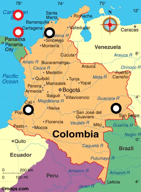
The Vaupés River on the map of Colombia
Route of the Vaupés River in Brazil
After doing this, while continuing its course, already in the Brazilian region, it rests its waters on the banks of the localities of
- Paraná Juca
- Tuluca
- Acai Paraná
- São Juaquim
And it is there that it gives all of its water to the Negro River.
As it flows through this part of Brazil, its entire course moves towards the indigenous territory known as the Alto Rio Negro.
Almost all of it is a reserve whose denomination is the Forest Reserve of the Negro River.
It is a curious fact that this part of the Vaupés almost reaches the equator in some places.
For this part of its journey, it receives the waters of the following rivers
- Papuri
- Tiquié and
- Lauiari
Dimensions of the Vaupés
The Vaupés River is 1050 km long and its basin covers an area of 50,000 km2. Its average flow after reaching the Brazilian border is 2388 m3/sec.
Its source is the confluence of the Itilla and Unilla Rivers. It flows through Colombia and Brazil.
It is the one that gives the largest flow to the Negro River. And in turn, it is the one that gives the largest flow to the Amazon River.
The sound of the water when it is calm
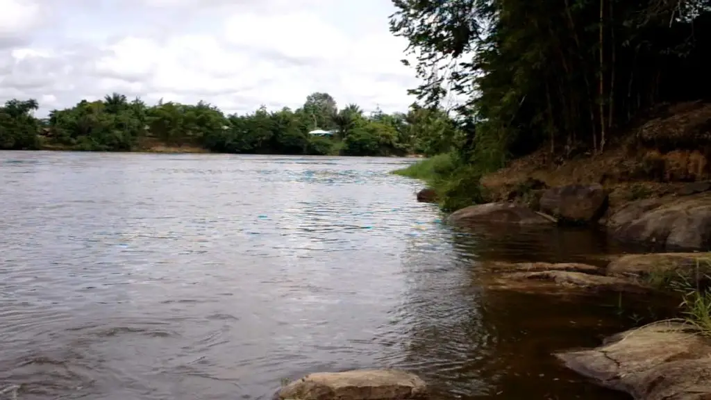
The indescribable sound of the water as it caresses the stones on its way. When it gently glides through its place. It is a feeling of peace and tranquillity. Here is a little bit of it.
Curiosities
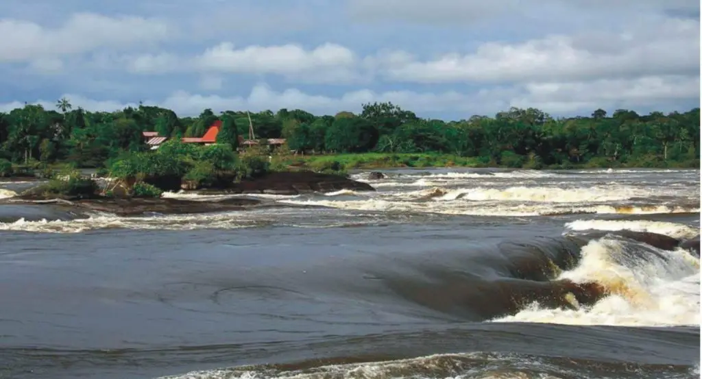
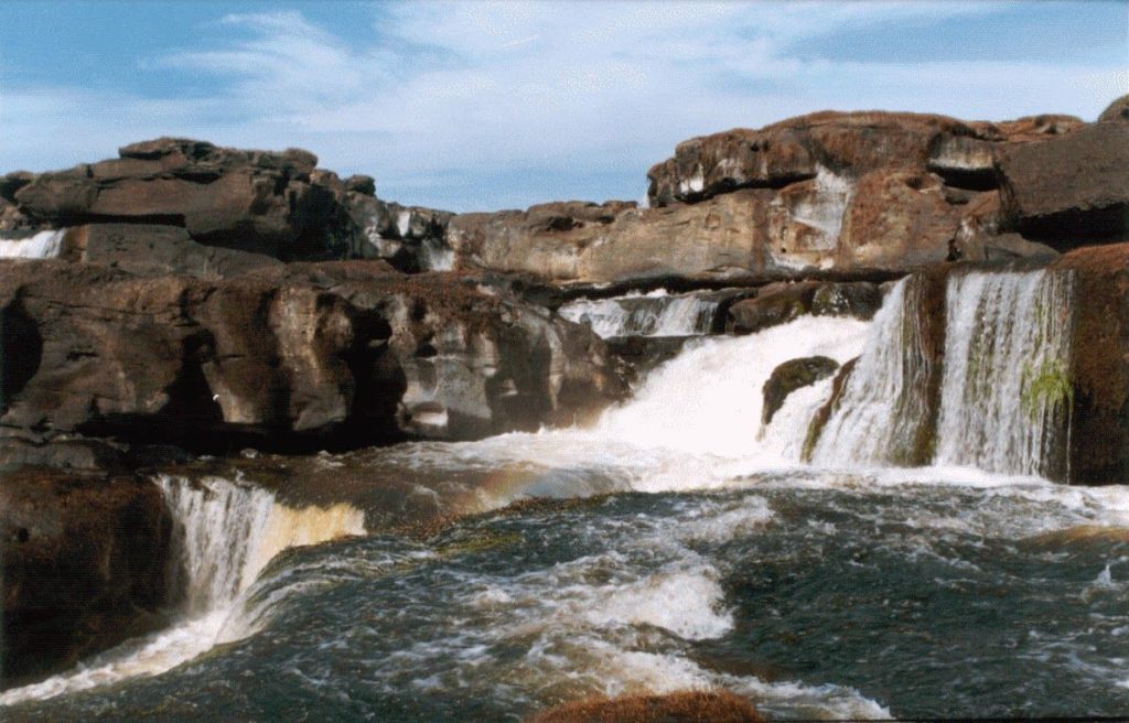
Very good information. A unique environment of great beauty. Called the Cachivera de Yurupari in the course of the Vaupes River, at the height of a community whose name is that of the Yurupari, in Colombia.
With its legends and myths. And the wisdom of the ancestors. That which is not learned in the classroom, but in the traditions and experiences of those who, with the passing of time, have left their legacy to their successors.
Very interesting video. Enjoy it!

