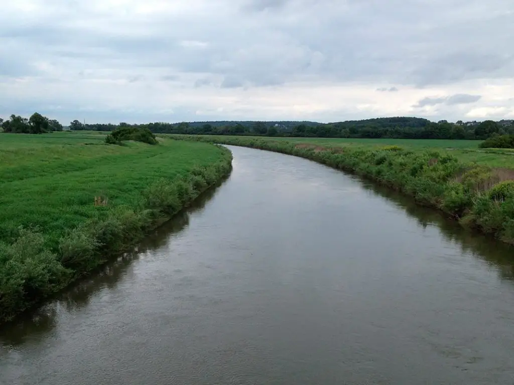
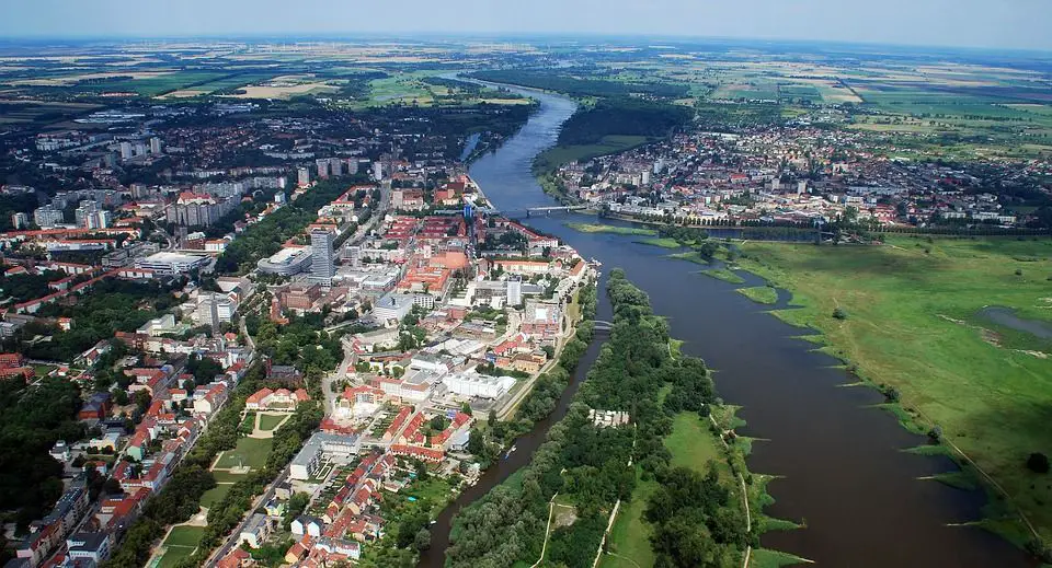
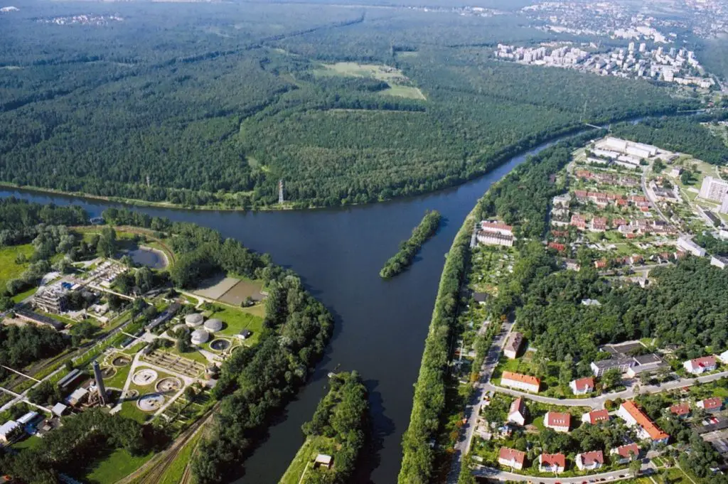
The Oder is a river in eastern central Europe. It is one of the most important rivers in the Baltic Sea basin, second in volume and length only to the Vistula.
Indice De Contenido
Features
The Oder is a major waterway, navigable along most of its length. It links, via the Gliwice Canal, the large industrial areas of Silesia (Śląsk) in south-western Poland with trade routes to the Baltic Sea and beyond.
The Oder is connected to the Vistula, Poland’s largest river, by a waterway via the Warta and Noteć rivers (see article: Blue River).
Together with the Bydgoszcz Canal, it is connected to the Western European waterway system via the Oder-Spree and Oder-Havel canals in eastern Germany.
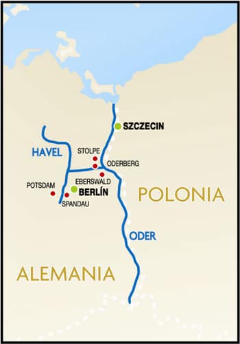
Location and map of the Oder
For the first 70 miles (112 kilometres) from its source, it flows through the Czech Republic.
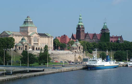
For 116 miles in its middle reaches, it forms the border between Poland and Germany, before emptying into the Baltic Sea via a lagoon north of the Polish city of Szczecin.
Tributaries of the Oder
The main tributaries from the left bank are the Opava from the Czech Republic and the Osobłoga, Nysa Kłodzka, Oława, Ślęza, Bystrzyca, Kaczawa, Bóbr and Neisse from Poland.
From the east, the main tributaries are the Olše from the Czech Republic and Kłodnica, Mała Panew, Strobrawa, Widawa, Barycz, Obrzyca, Warta, Myśla and Ina from Poland.
From the confluence with the Opava, the Oder is navigable for 220 to 230 days a year over a distance of about 475 miles (see article: River Nysa).
The most important cities along the Oder are Ostrava in the Czech Republic, Frankfurt in Germany and Racibórz, Opole, Brzeg, Wroclaw, Nowa Sól and Szczecin in Poland.
River Oder Poland
The total length of the Oder is 531 miles (854 km), of which 461 miles are in Poland. The total area of the river basin is estimated at 46,000 square miles (119,000 square kilometres).
About 90 per cent of this is on Polish territory. The average elevation of the Oder basin is 535 feet (163 metres) above sea level.
From its source and for most of its course, the Oder flows in a generally southeast-northwest direction; only at the confluence with the Nysa Łużycka (Polish: Nysa Łużycka) does it begin to trend north towards the Baltic Sea.
After the confluence with the Olše, the Oder enters Poland and flows in a characteristic way between ancient valleys of glacial origin from east to west, cutting across the highlands in between.
The Oder basin
The Oder begins its course in the Czech Republic, at an altitude of almost 2,100 feet in the Hrubý Jeseník Mountains.
Initially, it flows as a steeply sloping mountain stream that gradually narrows until it reaches the bottom of the structural depression known as the Moravian Gate; from there, the Oder continues its course in a wide valley.
Where the Oder takes advantage of these pre-existing valleys, it reaches widths of up to six miles or more, while in the gaps it narrows to about one mile.
Hydrology
The Oder has a limited flow; its average ratio of discharge to precipitation is the lowest among the rivers flowing into the Baltic Sea (see article: Ozama River).
During low water periods in summer and autumn, the river is fed by reservoirs built in the upper tributaries.
The average water depth in the Oder channel is three metres and the average velocity is three metres per second. In summer, the upper reaches of the Oder system are flooded by heavy rainfall.
In spring, the middle and lower reaches are flooded by meltwater. The volume of flow varies with the amount of precipitation.
In the period 1951-80, for example, the discharge of the upper Oder averaged 1,560 cubic feet (145 cubic metres) per second, with extremes of 150 and 31,430.
During the same period in the middle reaches, the average was 18,820 cubic feet per second, with extremes of 5,510 and 76,630. Ice cover on the river lasts up to 40 days a year.
Like many of the world’s great rivers flowing through highly industrialised regions, the waters of the Oder have become heavily polluted; of the fish still found in the river, sea bream and eel are the most common.

